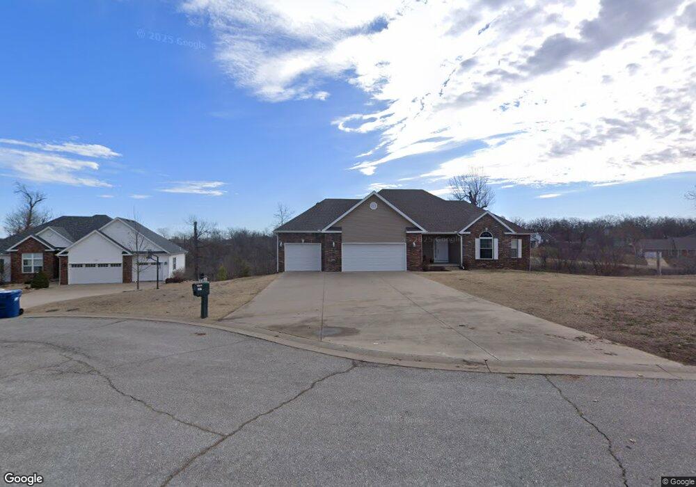
207 Turf Ln Carl Junction, MO 64834
Briarbrook NeighborhoodEstimated Value: $437,282 - $520,000
Studio
3
Baths
1,892
Sq Ft
$257/Sq Ft
Est. Value
About This Home
This home is located at 207 Turf Ln, Carl Junction, MO 64834 and is currently estimated at $485,571, approximately $256 per square foot. 207 Turf Ln is a home with nearby schools including Carl Junction Primary School (K-1), Carl Junction Intermediate School, and Carl Junction Primary School (2-3).
Ownership History
Date
Name
Owned For
Owner Type
Purchase Details
Closed on
Jul 20, 2007
Sold by
Goddard Kent and Goddard Sharon
Bought by
Hoskins Michael and Hoskins Barbara
Current Estimated Value
Home Financials for this Owner
Home Financials are based on the most recent Mortgage that was taken out on this home.
Original Mortgage
$180,736
Outstanding Balance
$112,672
Interest Rate
6.54%
Mortgage Type
New Conventional
Estimated Equity
$372,899
Create a Home Valuation Report for This Property
The Home Valuation Report is an in-depth analysis detailing your home's value as well as a comparison with similar homes in the area
Home Values in the Area
Average Home Value in this Area
Purchase History
| Date | Buyer | Sale Price | Title Company |
|---|---|---|---|
| Hoskins Michael | -- | Abbey |
Source: Public Records
Mortgage History
| Date | Status | Borrower | Loan Amount |
|---|---|---|---|
| Open | Hoskins Michael | $180,736 |
Source: Public Records
Tax History
| Year | Tax Paid | Tax Assessment Tax Assessment Total Assessment is a certain percentage of the fair market value that is determined by local assessors to be the total taxable value of land and additions on the property. | Land | Improvement |
|---|---|---|---|---|
| 2025 | $3,101 | $54,770 | $4,200 | $50,570 |
| 2024 | $3,110 | $48,360 | $4,200 | $44,160 |
| 2023 | $3,110 | $48,360 | $4,200 | $44,160 |
| 2022 | $3,102 | $48,230 | $4,200 | $44,030 |
| 2021 | $2,690 | $48,230 | $4,200 | $44,030 |
| 2020 | $2,516 | $44,460 | $4,200 | $40,260 |
| 2019 | $2,394 | $44,460 | $4,200 | $40,260 |
| 2018 | $2,479 | $46,300 | $0 | $0 |
| 2017 | $2,485 | $46,300 | $0 | $0 |
| 2016 | $2,564 | $48,170 | $0 | $0 |
Source: Public Records
Map
Nearby Homes
- 328 Briarbrook Dr
- 201 Tee Ln
- 107 Foursome Ln
- 126 Briarbrook Dr
- 306 Lakeview Ln
- 111 Briarbrook Dr
- 128 Par Ln
- 9130 Missouri 171
- 126 N Windwood
- 804 Summerlyn Ln
- 1308 York St
- 407 Hodge Dr
- 408 Angel Lea
- 710 Briarbrook Dr
- 120 Concord St
- 104 Cambridge Dr
- 403 Ashmore Dr
- 307 Ashmore St
- 908 Silver Oaks Dr
- 708 Danica Jo Ln
Your Personal Tour Guide
Ask me questions while you tour the home.