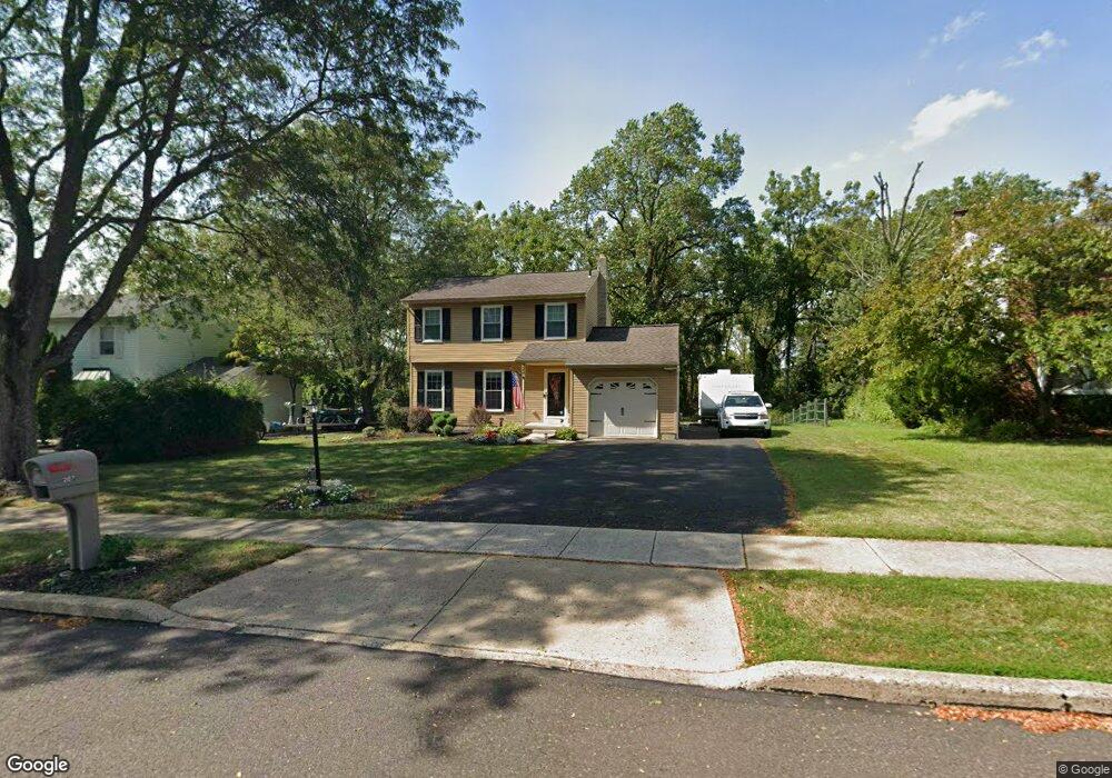
207 Twining Rd Lansdale, PA 19446
Estimated Value: $500,901 - $578,000
3
Beds
2
Baths
1,410
Sq Ft
$382/Sq Ft
Est. Value
About This Home
This home is located at 207 Twining Rd, Lansdale, PA 19446 and is currently estimated at $539,225, approximately $382 per square foot. 207 Twining Rd is a home located in Montgomery County with nearby schools including Montgomery Elementary School, Pennbrook Middle School, and North Penn Senior High School.
Ownership History
Date
Name
Owned For
Owner Type
Purchase Details
Closed on
May 12, 2007
Sold by
Snedeker Christy
Bought by
Clayton Michael and Direso Cheryl
Current Estimated Value
Home Financials for this Owner
Home Financials are based on the most recent Mortgage that was taken out on this home.
Original Mortgage
$238,000
Outstanding Balance
$145,320
Interest Rate
6.24%
Estimated Equity
$393,905
Purchase Details
Closed on
Dec 30, 1997
Sold by
Koroncai John F and Koroncai Sharon
Bought by
Koroncai Sharon
Create a Home Valuation Report for This Property
The Home Valuation Report is an in-depth analysis detailing your home's value as well as a comparison with similar homes in the area
Home Values in the Area
Average Home Value in this Area
Purchase History
| Date | Buyer | Sale Price | Title Company |
|---|---|---|---|
| Clayton Michael | $338,000 | None Available | |
| Koroncai Sharon | -- | -- |
Source: Public Records
Mortgage History
| Date | Status | Borrower | Loan Amount |
|---|---|---|---|
| Open | Clayton Michael | $238,000 |
Source: Public Records
Tax History Compared to Growth
Tax History
| Year | Tax Paid | Tax Assessment Tax Assessment Total Assessment is a certain percentage of the fair market value that is determined by local assessors to be the total taxable value of land and additions on the property. | Land | Improvement |
|---|---|---|---|---|
| 2025 | $5,214 | $139,770 | $52,300 | $87,470 |
| 2024 | $5,214 | $139,770 | $52,300 | $87,470 |
| 2023 | $4,974 | $139,770 | $52,300 | $87,470 |
| 2022 | $4,800 | $139,770 | $52,300 | $87,470 |
| 2021 | $4,513 | $139,770 | $52,300 | $87,470 |
| 2020 | $4,394 | $139,770 | $52,300 | $87,470 |
| 2019 | $4,312 | $139,770 | $52,300 | $87,470 |
| 2018 | $746 | $139,770 | $52,300 | $87,470 |
| 2017 | $4,127 | $139,770 | $52,300 | $87,470 |
| 2016 | $4,072 | $139,770 | $52,300 | $87,470 |
| 2015 | $3,889 | $139,770 | $52,300 | $87,470 |
| 2014 | $3,889 | $139,770 | $52,300 | $87,470 |
Source: Public Records
Map
Nearby Homes
- 111 Hampton Cir
- 201 Beacon Ct
- 301 Essex Ct
- 151 Canterbury Ln
- 103 August Ln
- 403 Reagans Ln
- 21 Meadow Glen Rd
- 110 Country Club Dr
- 263 Foxhedge Rd
- 261 Foxhedge Rd
- 259 Foxhedge Rd
- 708 Ascot Ct
- 456 Regans Ln
- 1308 Morris Ct
- 2109 Jefferson Ct
- 437 Reagans Ln
- 332 Foxtail Ln
- 458 Reagans Ln
- 442 Reagans Ln
- 435 Reagans Ln
- 205 Twining Rd
- 209 Twining Rd
- 211 Twining Rd
- 204 Twining Rd
- 206 Twining Rd
- 213 Twining Rd
- 207 Bellows Way
- 201 Twining Rd
- 208 Twining Rd
- 201 Bellows Way
- 209 Bellows Way
- 215 Twining Rd
- 210 Twining Rd
- 211 Bellows Way
- 113 Bellows Way
- 115 Bellows Way
- 111 Bellows Way
- 217 Twining Rd
- 117 Bellows Way
- 104 Arrowhead Cir