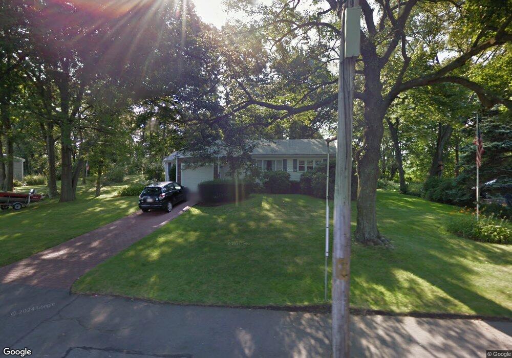
207 W Shore Dr Unit 1 Marblehead, MA 01945
Estimated Value: $1,001,000 - $1,145,000
3
Beds
2
Baths
2,200
Sq Ft
$487/Sq Ft
Est. Value
About This Home
This home is located at 207 W Shore Dr Unit 1, Marblehead, MA 01945 and is currently estimated at $1,071,767, approximately $487 per square foot. 207 W Shore Dr Unit 1 is a home located in Essex County with nearby schools including Marblehead High School, Marblehead Community Charter Public School, and Tower School.
Ownership History
Date
Name
Owned For
Owner Type
Purchase Details
Closed on
Jun 30, 2014
Sold by
Orne Marjorie E
Bought by
Milburn Mary F and Milburn Darrell
Current Estimated Value
Home Financials for this Owner
Home Financials are based on the most recent Mortgage that was taken out on this home.
Original Mortgage
$515,467
Outstanding Balance
$388,468
Interest Rate
4.19%
Mortgage Type
New Conventional
Estimated Equity
$683,299
Purchase Details
Closed on
Apr 27, 2011
Sold by
Girard Louise G Est
Bought by
Orne Marjorie E and Girard George E
Create a Home Valuation Report for This Property
The Home Valuation Report is an in-depth analysis detailing your home's value as well as a comparison with similar homes in the area
Home Values in the Area
Average Home Value in this Area
Purchase History
| Date | Buyer | Sale Price | Title Company |
|---|---|---|---|
| Milburn Mary F | $499,000 | -- | |
| Orne Marjorie E | $90,000 | -- | |
| Orne Marjorie E | $90,000 | -- |
Source: Public Records
Mortgage History
| Date | Status | Borrower | Loan Amount |
|---|---|---|---|
| Open | Milburn Mary F | $515,467 | |
| Closed | Orne Marjorie E | $515,467 |
Source: Public Records
Tax History
| Year | Tax Paid | Tax Assessment Tax Assessment Total Assessment is a certain percentage of the fair market value that is determined by local assessors to be the total taxable value of land and additions on the property. | Land | Improvement |
|---|---|---|---|---|
| 2025 | $8,644 | $955,100 | $708,700 | $246,400 |
| 2024 | $7,674 | $856,500 | $690,900 | $165,600 |
| 2023 | $8,274 | $827,400 | $664,400 | $163,000 |
| 2022 | $7,607 | $723,100 | $549,200 | $173,900 |
| 2021 | $6,998 | $671,600 | $496,100 | $175,500 |
| 2020 | $6,862 | $660,400 | $531,500 | $128,900 |
| 2019 | $6,713 | $625,000 | $496,100 | $128,900 |
| 2018 | $6,074 | $551,200 | $425,200 | $126,000 |
| 2017 | $6,264 | $568,900 | $442,900 | $126,000 |
| 2016 | $5,530 | $498,200 | $389,800 | $108,400 |
| 2015 | $5,255 | $474,300 | $354,300 | $120,000 |
| 2014 | $5,029 | $453,500 | $336,600 | $116,900 |
Source: Public Records
Map
Nearby Homes
- 1 Knollwood Rd
- 30 Haley Rd Unit 1
- 6 Mount Vernon St
- 70 Maverick St
- 290 Washington St Unit A
- 132 Elm St
- 132 Elm St Unit 132
- 66 Pleasant St Unit 1
- 66 Pleasant St Unit 2
- 21 Kenneth Rd
- 45 Pleasant St
- 282 Pleasant St
- 26 Summer St Unit 1
- 3 Frost Ln Unit 1
- 23 Wyman Rd
- 9 Darling St
- 55 Brackett Place Unit B
- 7 Mechanic Ct
- 89 Naugus Ave
- 1 Shore Ave
- 207 W Shore Dr
- 207 W Shore Dr Unit 207
- 213 W Shore Dr
- 201 W Shore Dr Unit B
- 201 W Shore Dr Unit A
- 201A W Shore Dr Unit A
- 201 B W Shore Dr Unit B
- 201A W Shore Dr Unit A 201
- 1 Beverly Ave
- 2 Beverly Ave
- 2 Beverly Ave
- 199 W Shore Dr Unit B
- 199 W Shore Dr Unit A
- 199 W Shore Dr Unit R
- 199 A W Shore Dr Unit 199A
- 212 W Shore Dr
- 200 W Shore Dr
- 219 W Shore Dr
- 214 W Shore Dr
- 198 W Shore Dr
Your Personal Tour Guide
Ask me questions while you tour the home.