2070 Ashley Dr Annapolis, MD 21401
Parole NeighborhoodEstimated Value: $374,000
--
Bed
2
Baths
28,160
Sq Ft
$13/Sq Ft
Est. Value
About This Home
This home is located at 2070 Ashley Dr, Annapolis, MD 21401 and is currently priced at $374,000, approximately $13 per square foot. 2070 Ashley Dr is a home located in Anne Arundel County with nearby schools including Rolling Knolls Elementary School, Wiley H. Bates Middle School, and Annapolis High School.
Ownership History
Date
Name
Owned For
Owner Type
Purchase Details
Closed on
Nov 16, 2018
Sold by
808 Bestgate Realty Lot 1R Llc
Bought by
808 Bestgate Realty Lot 2R Llc
Current Estimated Value
Purchase Details
Closed on
Aug 14, 2017
Sold by
808 Bestgate Realty Llc
Bought by
808 Bestgate Realty Lot 2R Llc
Purchase Details
Closed on
Aug 4, 2017
Sold by
808 Bestgate Realty Llc
Bought by
Anne Arundel County Maryland
Purchase Details
Closed on
Apr 24, 2017
Sold by
8M Llc
Bought by
808 Bestgate Realty Llc
Purchase Details
Closed on
Dec 18, 2013
Sold by
Chesapeake Enterprises Llc
Bought by
8M Llc
Purchase Details
Closed on
Aug 27, 1997
Sold by
Mcknew Geo W
Bought by
2 Dudes Llc
Create a Home Valuation Report for This Property
The Home Valuation Report is an in-depth analysis detailing your home's value as well as a comparison with similar homes in the area
Home Values in the Area
Average Home Value in this Area
Purchase History
| Date | Buyer | Sale Price | Title Company |
|---|---|---|---|
| 808 Bestgate Realty Lot 2R Llc | -- | Capitol Title | |
| 808 Bestgate Realty Lot 2R Llc | -- | Brilliat Title Corp | |
| Anne Arundel County Maryland | -- | None Available | |
| 808 Bestgate Realty Llc | -- | Brilliant Title Corp | |
| 8M Llc | $890,000 | Capitol Title Ins Agency Inc | |
| 2 Dudes Llc | $275,000 | -- | |
| 2 Dudes Llc | $285,000 | -- |
Source: Public Records
Tax History Compared to Growth
Tax History
| Year | Tax Paid | Tax Assessment Tax Assessment Total Assessment is a certain percentage of the fair market value that is determined by local assessors to be the total taxable value of land and additions on the property. | Land | Improvement |
|---|---|---|---|---|
| 2025 | $47,633 | $8,144,400 | $1,244,600 | $6,899,800 |
| 2024 | $47,633 | $7,656,967 | $0 | $0 |
| 2023 | $79,823 | $7,169,533 | $0 | $0 |
| 2022 | $71,287 | $6,682,100 | $1,244,600 | $5,437,500 |
| 2021 | $128,316 | $6,005,033 | $0 | $0 |
| 2020 | $58,029 | $5,327,967 | $0 | $0 |
| 2019 | $50,993 | $4,650,900 | $1,216,000 | $3,434,900 |
| 2018 | $44,515 | $4,390,067 | $0 | $0 |
| 2017 | $14,093 | $1,481,800 | $0 | $0 |
| 2016 | -- | $1,341,700 | $0 | $0 |
| 2015 | -- | $1,134,587 | $0 | $0 |
| 2014 | -- | $927,473 | $0 | $0 |
Source: Public Records
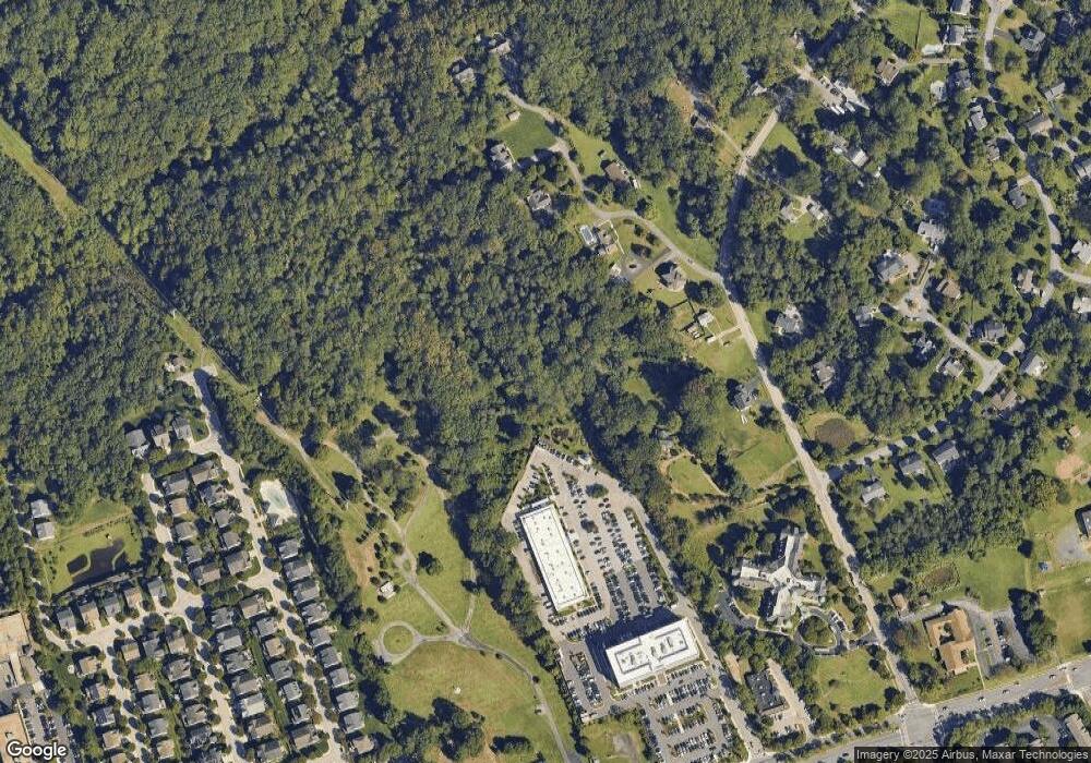
Map
Nearby Homes
- 2000 Monticello Dr
- 1974 Scotts Crossing Way
- 553 Choptank Cove Ct
- 4 Roosevelt Dr
- 2075 Old Admiral Ct
- 1737 Point no Point Dr
- 2000 Phillips Terrace Unit 4
- 668 N Bestgate Rd
- 2026 Gov Thomas Bladen Way Unit 102
- 2026 Gov Thomas Bladen Way Unit 203
- 343 Dubois Rd
- 341 Dubois Rd
- 1868 Lynnfield Dr
- 522 Epping Forest Rd
- 2175 Glencrest Cir
- 2175 Glencrest Circle - Taft Model
- 2175
- 40 Oak Ct
- 228 Dubois Rd
- 39 Oak Ct
- 204 Kirchner Ct
- 202 Kirchner Ct
- 1948 Severn Grove Rd
- 200 Kirchner Ct
- 210 Kirchner Ct
- 1956 Severn Grove Rd
- 1954 Severn Grove Rd
- 208 Kirchner Ct
- 810 Bestgate Rd
- 1960 Severn Grove Rd
- 1942 Severn Grove Rd
- 1952 Severn Grove Rd
- 1919 Eamons Way
- 2028 Monticello Dr
- 1924 Eamons Way
- 1917 Eamons Way
- 1953 Severn Grove Rd
- 1941 Severn Grove Rd
- 1922 Eamons Way
- 1920 Eamons Way