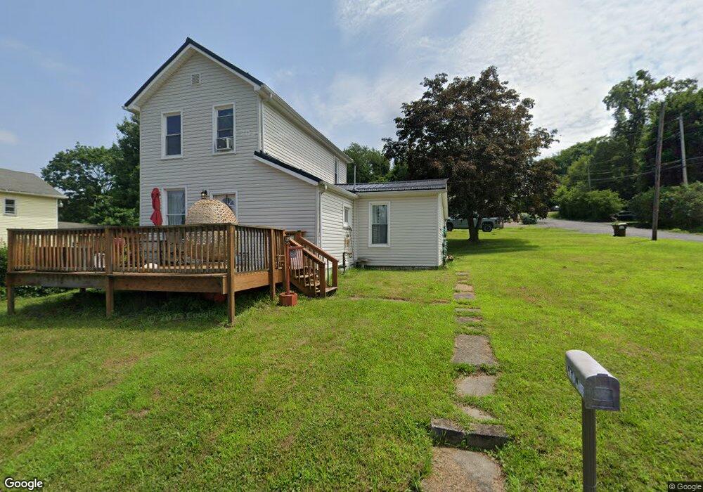
2070 Bluff St East Liverpool, OH 43920
Estimated Value: $53,065 - $94,000
2
Beds
1
Bath
1,120
Sq Ft
$69/Sq Ft
Est. Value
About This Home
This home is located at 2070 Bluff St, East Liverpool, OH 43920 and is currently estimated at $77,516, approximately $69 per square foot. 2070 Bluff St is a home located in Columbiana County with nearby schools including Westgate Middle School, North Elementary School, and East Liverpool High School.
Ownership History
Date
Name
Owned For
Owner Type
Purchase Details
Closed on
Apr 28, 2021
Bought by
Donald James Hunt
Current Estimated Value
Purchase Details
Closed on
Mar 23, 2021
Sold by
Sonntog Randall R
Bought by
Hunt Donald James
Purchase Details
Closed on
Aug 19, 2004
Sold by
Bates Carly S
Bought by
Sonntog Randall R
Purchase Details
Closed on
Aug 27, 1997
Sold by
Landis Loretta J
Bought by
Bates Randall R Sonntog and Bates Carly S
Home Financials for this Owner
Home Financials are based on the most recent Mortgage that was taken out on this home.
Original Mortgage
$26,150
Interest Rate
7.57%
Mortgage Type
New Conventional
Create a Home Valuation Report for This Property
The Home Valuation Report is an in-depth analysis detailing your home's value as well as a comparison with similar homes in the area
Home Values in the Area
Average Home Value in this Area
Purchase History
| Date | Buyer | Sale Price | Title Company |
|---|---|---|---|
| Donald James Hunt | -- | -- | |
| Hunt Donald James | $2,240 | None Available | |
| Sonntog Randall R | -- | -- | |
| Bates Randall R Sonntog | $27,000 | -- |
Source: Public Records
Mortgage History
| Date | Status | Borrower | Loan Amount |
|---|---|---|---|
| Previous Owner | Bates Randall R Sonntog | $26,150 |
Source: Public Records
Tax History Compared to Growth
Tax History
| Year | Tax Paid | Tax Assessment Tax Assessment Total Assessment is a certain percentage of the fair market value that is determined by local assessors to be the total taxable value of land and additions on the property. | Land | Improvement |
|---|---|---|---|---|
| 2024 | $559 | $13,370 | $560 | $12,810 |
| 2023 | $559 | $13,370 | $560 | $12,810 |
| 2022 | $559 | $13,370 | $560 | $12,810 |
| 2021 | $388 | $10,260 | $490 | $9,770 |
| 2020 | $450 | $10,260 | $490 | $9,770 |
| 2019 | $450 | $10,260 | $490 | $9,770 |
| 2018 | $437 | $9,350 | $460 | $8,890 |
| 2017 | $461 | $9,350 | $460 | $8,890 |
| 2016 | $483 | $8,930 | $560 | $8,370 |
| 2015 | $816 | $8,930 | $560 | $8,370 |
| 2014 | $402 | $8,930 | $560 | $8,370 |
Source: Public Records
Map
Nearby Homes
- 1259 Erie St
- 534 1st St
- 1045 Saint George St
- 1013 Saint George St
- 1030 Saint George St
- 1147 Ohio Ave
- 936 Saint George St
- 507 Wedgewood St
- 1575 Globe St
- 921 Orchard Grove Ave
- 1615 Montrose St
- 920 Mckinnon Ave
- 628 Fisher Ave
- 636 River Rd
- 1519 Saint Clair Ave
- 1507 Saint Clair Ave
- 1520 Smithfield St
- 1714 Allison St
- 0 Armstrong Ln
- 2787 Park Way
- 2080 Bluff St
- 1221 Adler St
- 2020 Brighton Ave
- 2074 MacRum St
- 2074 MacRum St
- 2040 Brighton Ave
- 2084 MacRum St
- 2080 Ohio Alley
- 2062 Brighton Ave
- 2060 MacRum St
- 2090 MacRum St
- 1245 Beacon Way
- 2046 Bluff St
- 1257 Adler St
- 2064 Ohio Alley
- 2067 MacRum St
- 2048 MacRum St
- 2048 MacRum St
- 1272 Adler St
- 1259 Beacon Way