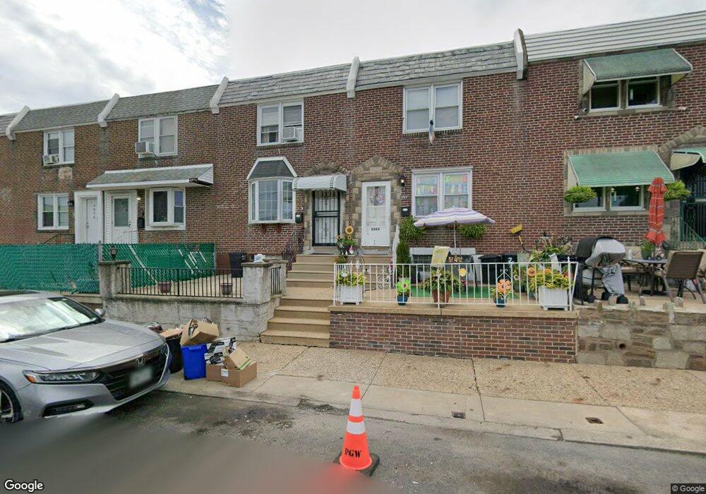
2070 Brill St Philadelphia, PA 19124
Frankford NeighborhoodEstimated Value: $146,104 - $188,000
3
Beds
1
Bath
1,045
Sq Ft
$160/Sq Ft
Est. Value
About This Home
This home is located at 2070 Brill St, Philadelphia, PA 19124 and is currently estimated at $166,776, approximately $159 per square foot. 2070 Brill St is a home located in Philadelphia County with nearby schools including James J. Sullivan School, Harding Warren G Middle School, and Frankford High School.
Ownership History
Date
Name
Owned For
Owner Type
Purchase Details
Closed on
May 7, 2010
Sold by
Bauman Geraldine A
Bought by
Saint Croix Martha
Current Estimated Value
Home Financials for this Owner
Home Financials are based on the most recent Mortgage that was taken out on this home.
Original Mortgage
$87,817
Outstanding Balance
$56,507
Interest Rate
4.25%
Mortgage Type
FHA
Estimated Equity
$110,269
Create a Home Valuation Report for This Property
The Home Valuation Report is an in-depth analysis detailing your home's value as well as a comparison with similar homes in the area
Home Values in the Area
Average Home Value in this Area
Purchase History
| Date | Buyer | Sale Price | Title Company |
|---|---|---|---|
| Saint Croix Martha | $89,000 | None Available |
Source: Public Records
Mortgage History
| Date | Status | Borrower | Loan Amount |
|---|---|---|---|
| Open | Saint Croix Martha | $87,817 |
Source: Public Records
Tax History Compared to Growth
Tax History
| Year | Tax Paid | Tax Assessment Tax Assessment Total Assessment is a certain percentage of the fair market value that is determined by local assessors to be the total taxable value of land and additions on the property. | Land | Improvement |
|---|---|---|---|---|
| 2025 | $1,412 | $126,600 | $25,320 | $101,280 |
| 2024 | $1,412 | $126,600 | $25,320 | $101,280 |
| 2023 | $1,412 | $100,900 | $20,180 | $80,720 |
| 2022 | $381 | $55,900 | $20,180 | $35,720 |
| 2021 | $1,011 | $0 | $0 | $0 |
| 2020 | $1,011 | $0 | $0 | $0 |
| 2019 | $970 | $0 | $0 | $0 |
| 2018 | $652 | $0 | $0 | $0 |
| 2017 | $1,072 | $0 | $0 | $0 |
| 2016 | $652 | $0 | $0 | $0 |
| 2015 | $498 | $0 | $0 | $0 |
| 2014 | -- | $67,200 | $11,756 | $55,444 |
| 2012 | -- | $10,656 | $938 | $9,718 |
Source: Public Records
Map
Nearby Homes
- 5217 Ditman St
- 5220 Ditman St
- 5316 Harbison Ave
- 5206 Burton St
- 2070 Bridge St
- 2046 Bridge St
- 2088 Bridge St
- 2065 Granite St
- 5216 Glenloch St
- 5264 Glenloch St
- 5208 Glenloch St
- 2112 Scattergood St
- 2115 Betts St
- 5122 Glenloch St
- 2061 Simon St
- 2076 Fraley St
- 5305 Gillespie St
- 2115 Simon St
- 5321 Gillespie St
- 5348 Jackson St
- 2068 Brill St
- 2066 Brill St
- 2064 Brill St
- 2072 Brill St
- 2062 Brill St
- 2074 Brill St
- 2071 Scattergood St
- 2060 Brill St
- 2076 Brill St
- 2069 Scattergood St
- 2067 Scattergood St
- 2073 Scattergood St
- 2075 Scattergood St
- 2077 Scattergood St
- 2065 Scattergood St
- 2078 Brill St
- 2079 Scattergood St
- 2063 Scattergood St
- 2081 Scattergood St
- 2080 Brill St