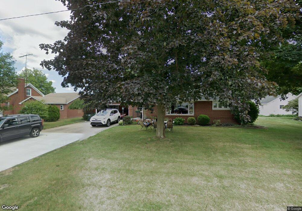
2070 Center Ave Alliance, OH 44601
Estimated Value: $186,000 - $219,000
2
Beds
2
Baths
1,092
Sq Ft
$183/Sq Ft
Est. Value
About This Home
This home is located at 2070 Center Ave, Alliance, OH 44601 and is currently estimated at $200,217, approximately $183 per square foot. 2070 Center Ave is a home located in Stark County with nearby schools including Alliance Elementary School at Rockhill, Alliance Intermediate School at Northside, and Alliance Middle School.
Ownership History
Date
Name
Owned For
Owner Type
Purchase Details
Closed on
Dec 18, 2003
Sold by
Miller Stephanie C
Bought by
Zepernick David C
Current Estimated Value
Home Financials for this Owner
Home Financials are based on the most recent Mortgage that was taken out on this home.
Original Mortgage
$72,500
Outstanding Balance
$33,947
Interest Rate
6.03%
Mortgage Type
Purchase Money Mortgage
Estimated Equity
$166,270
Purchase Details
Closed on
Nov 11, 2003
Sold by
Sherban Patricia A and Sherban John E
Bought by
Miller Stephanie C
Home Financials for this Owner
Home Financials are based on the most recent Mortgage that was taken out on this home.
Original Mortgage
$72,500
Outstanding Balance
$33,947
Interest Rate
6.03%
Mortgage Type
Purchase Money Mortgage
Estimated Equity
$166,270
Purchase Details
Closed on
Sep 23, 1993
Create a Home Valuation Report for This Property
The Home Valuation Report is an in-depth analysis detailing your home's value as well as a comparison with similar homes in the area
Home Values in the Area
Average Home Value in this Area
Purchase History
| Date | Buyer | Sale Price | Title Company |
|---|---|---|---|
| Zepernick David C | $92,500 | -- | |
| Miller Stephanie C | -- | -- | |
| -- | -- | -- |
Source: Public Records
Mortgage History
| Date | Status | Borrower | Loan Amount |
|---|---|---|---|
| Open | Zepernick David C | $72,500 |
Source: Public Records
Tax History Compared to Growth
Tax History
| Year | Tax Paid | Tax Assessment Tax Assessment Total Assessment is a certain percentage of the fair market value that is determined by local assessors to be the total taxable value of land and additions on the property. | Land | Improvement |
|---|---|---|---|---|
| 2025 | -- | $50,160 | $11,690 | $38,470 |
| 2024 | -- | $50,160 | $11,690 | $38,470 |
| 2023 | $1,602 | $39,870 | $10,890 | $28,980 |
| 2022 | $1,613 | $39,870 | $10,890 | $28,980 |
| 2021 | $1,614 | $39,870 | $10,890 | $28,980 |
| 2020 | $1,510 | $34,830 | $9,450 | $25,380 |
| 2019 | $1,488 | $34,830 | $9,450 | $25,380 |
| 2018 | $1,495 | $34,830 | $9,450 | $25,380 |
| 2017 | $1,361 | $31,190 | $7,910 | $23,280 |
| 2016 | $1,380 | $31,360 | $6,580 | $24,780 |
| 2015 | $1,392 | $31,360 | $6,580 | $24,780 |
| 2014 | $1,457 | $31,260 | $6,580 | $24,680 |
| 2013 | $727 | $31,260 | $6,580 | $24,680 |
Source: Public Records
Map
Nearby Homes
- 2112 Blenheim Ave
- 2050 Federal Ave
- 2220 Western Ave
- 1059 Oakwood Dr
- 884 W College Rd
- 1515 S Rockhill Ave
- 1201 Overlook Dr
- 2839 S Rockhill Ave
- 1321 Parkway Blvd
- 1038 Fairview Place
- 0 Winchester St
- 0 Winchester St Unit 5162877
- 970 Kingsway St
- 3101 Ridgehill Ave
- 738 Kingsway St
- 896 Parkway Blvd
- 1325 W Beech St
- 2081 Marwood Cir
- 734 Parkway Blvd
- 112 E College St
- 2084 Center Ave
- 2054 Center Ave
- 2090 Center Ave
- 2051 Crestview Ave
- 2095 Crestview Ave
- 2073 Center Ave
- 2067 Center Ave
- 2055 Center Ave
- 2077 Crestview Ave
- 2098 Center Ave
- 2091 Center Ave
- 2045 Center Ave
- 2095 Center Ave
- 2099 Crestview Ave
- 2035 Center Ave
- 2097 Center Ave
- 2100 Center Ave
- 1306 W State St
- 2072 Blenheim Ave
- 2070 Crestview Ave