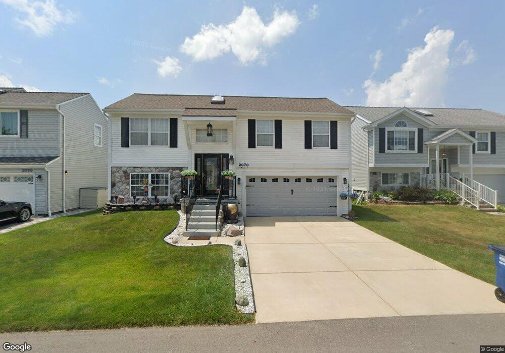
2070 E Williams Cir Unit 217 Westland, MI 48186
Estimated Value: $271,999 - $313,000
--
Bed
2
Baths
1,506
Sq Ft
$198/Sq Ft
Est. Value
About This Home
This home is located at 2070 E Williams Cir Unit 217, Westland, MI 48186 and is currently estimated at $297,750, approximately $197 per square foot. 2070 E Williams Cir Unit 217 is a home located in Wayne County with nearby schools including Adlai Stevenson Middle School, Wayne Memorial High School, and St Michael Lutheran School.
Ownership History
Date
Name
Owned For
Owner Type
Purchase Details
Closed on
Nov 10, 2010
Sold by
Herron Orlando Mandell and Herron Lois Rochelle
Bought by
The Federal National Mortgage Associatio
Current Estimated Value
Create a Home Valuation Report for This Property
The Home Valuation Report is an in-depth analysis detailing your home's value as well as a comparison with similar homes in the area
Home Values in the Area
Average Home Value in this Area
Purchase History
| Date | Buyer | Sale Price | Title Company |
|---|---|---|---|
| The Federal National Mortgage Associatio | $197,473 | None Available |
Source: Public Records
Tax History Compared to Growth
Tax History
| Year | Tax Paid | Tax Assessment Tax Assessment Total Assessment is a certain percentage of the fair market value that is determined by local assessors to be the total taxable value of land and additions on the property. | Land | Improvement |
|---|---|---|---|---|
| 2025 | $2,596 | $133,600 | $0 | $0 |
| 2024 | $2,596 | $124,400 | $0 | $0 |
| 2023 | $2,479 | $100,300 | $0 | $0 |
| 2022 | $2,815 | $94,400 | $0 | $0 |
| 2021 | $2,745 | $87,700 | $0 | $0 |
| 2020 | $2,716 | $81,500 | $0 | $0 |
| 2019 | $2,617 | $76,400 | $0 | $0 |
| 2018 | $2,040 | $69,200 | $0 | $0 |
| 2017 | $837 | $63,600 | $0 | $0 |
| 2016 | $2,494 | $59,000 | $0 | $0 |
| 2015 | $4,956 | $55,810 | $0 | $0 |
| 2013 | $4,801 | $50,270 | $0 | $0 |
| 2012 | $2,345 | $48,980 | $0 | $0 |
Source: Public Records
Map
Nearby Homes
- 38185 Palmateer Rd
- 2601 Dagner Dr
- 38692 Watson Cir
- 1639 Tulip Ln
- 1786 Daisey Ln Unit 32
- 3020 Rivers Edge Dr
- 00000 Avondale St
- 3018 Rivers Edge Dr N
- 2610 Hannan Rd
- 2618 Hannan Rd
- 39258 Avondale St
- 00 S Newburgh Rd
- 0 S Newburgh Rd
- 2268 Minerva St
- 3329 S Newburgh Rd
- 2232 Wilshire St
- 39288 Nottingham St
- 44312 Wilmington Dr
- 477 Barchester St
- 36753 Greenbush Rd
- 2050 E Williams Cir Unit 126
- 2090 E Williams Cir Unit 128
- 2030 E Williams Cir Unit 125
- 2061 W Williams Cir
- 2041 W Williams Cir Unit 115
- 2081 W Williams Cir
- 2081 E Williams Cir Unit 148
- 2021 W Williams Cir
- 2101 E Williams Cir Unit 147
- 2010 E Williams Cir Unit 124
- 38266 Palmateer Rd Unit 89
- 2021 Buchanan Ct Unit 146
- 38281 S Williams Cir
- 38293 S Williams Cir Unit 111
- 2001 W Williams Cir Unit 117
- 38305 S Williams Cir
- 1990 E Williams Cir Unit 123
- 38245 Palmateer Rd
- 2041 Buchanan Ct Unit 145
- 38317 S Williams Cir Unit 109