2070 Hawthorne Dr Martinsville, IN 46151
Estimated Value: $267,000 - $347,796
4
Beds
3
Baths
2,190
Sq Ft
$146/Sq Ft
Est. Value
About This Home
This home is located at 2070 Hawthorne Dr, Martinsville, IN 46151 and is currently estimated at $319,699, approximately $145 per square foot. 2070 Hawthorne Dr is a home located in Morgan County with nearby schools including Martinsville High School.
Ownership History
Date
Name
Owned For
Owner Type
Purchase Details
Closed on
Jan 5, 2018
Sold by
Stevons Rebecca and Skirvin Dennis
Bought by
Glidden Leeanna
Current Estimated Value
Home Financials for this Owner
Home Financials are based on the most recent Mortgage that was taken out on this home.
Original Mortgage
$136,904
Outstanding Balance
$119,164
Interest Rate
5.25%
Mortgage Type
FHA
Estimated Equity
$200,535
Purchase Details
Closed on
Nov 11, 2010
Sold by
Skirvin Joan
Bought by
Skirvin Dennis and Stevons Rebecca
Create a Home Valuation Report for This Property
The Home Valuation Report is an in-depth analysis detailing your home's value as well as a comparison with similar homes in the area
Home Values in the Area
Average Home Value in this Area
Purchase History
| Date | Buyer | Sale Price | Title Company |
|---|---|---|---|
| Glidden Leeanna | -- | None Available | |
| Skirvin Dennis | $120,000 | -- | |
| Stevons Rebecca | -- | -- |
Source: Public Records
Mortgage History
| Date | Status | Borrower | Loan Amount |
|---|---|---|---|
| Open | Glidden Leeanna | $136,904 |
Source: Public Records
Tax History Compared to Growth
Tax History
| Year | Tax Paid | Tax Assessment Tax Assessment Total Assessment is a certain percentage of the fair market value that is determined by local assessors to be the total taxable value of land and additions on the property. | Land | Improvement |
|---|---|---|---|---|
| 2024 | $1,259 | $250,700 | $35,900 | $214,800 |
| 2023 | $1,194 | $250,700 | $35,900 | $214,800 |
| 2022 | $1,072 | $238,700 | $35,900 | $202,800 |
| 2021 | $734 | $185,200 | $28,300 | $156,900 |
| 2020 | $670 | $178,800 | $28,300 | $150,500 |
| 2019 | $652 | $166,000 | $28,300 | $137,700 |
| 2018 | $600 | $155,600 | $28,300 | $127,300 |
| 2017 | $1,070 | $121,400 | $28,000 | $93,400 |
| 2016 | $1,114 | $121,400 | $28,000 | $93,400 |
| 2014 | $883 | $119,800 | $28,000 | $91,800 |
| 2013 | $883 | $127,300 | $28,000 | $99,300 |
Source: Public Records
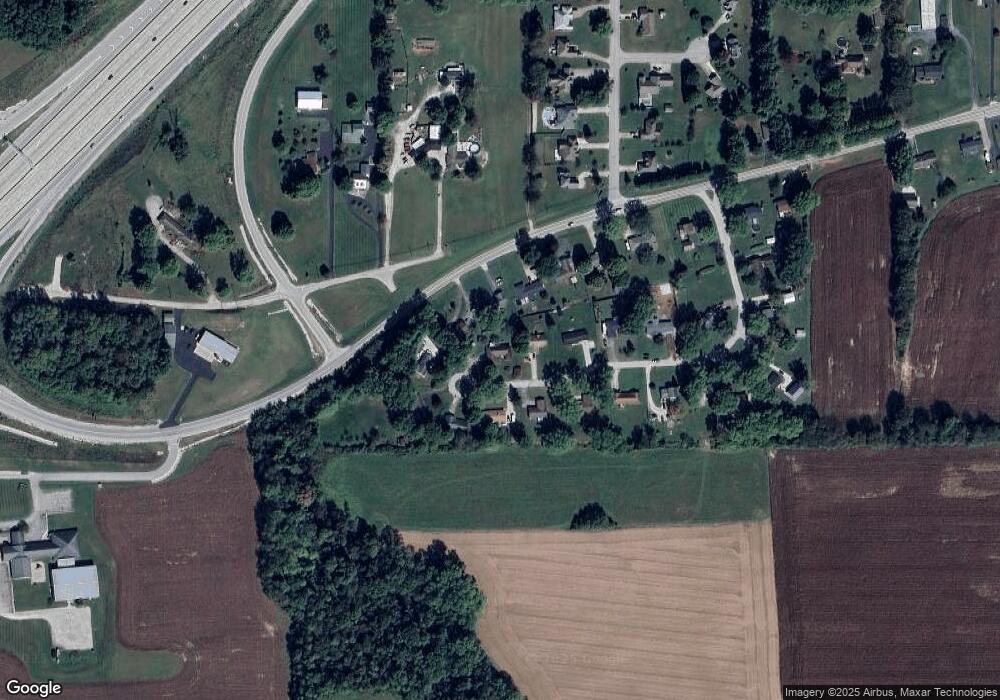
Map
Nearby Homes
- 00A S R 37 N
- 00E S R 37 N
- 000 S R 37 N
- 0 E Oro Ln
- 1701 E Woodcrest Dr S
- 0 Old Morgantown Rd
- 505 Jones Place
- 1067 Twin Branch Rd
- 525 Jones Place
- 105 Byram Blvd
- 0 E Morgan St
- 1440 E Morgan St
- 105 Wood Place
- 2010 Plantation Ln
- 589 Valley Dr
- 3395 State Road 44
- 1117 S Thomas Dr
- 1119 S Thomas Dr
- 1121 S Thomas Dr
- 99 S 2nd St
- 2090 Hawthorne Dr
- 2075 Indiana 44
- 2055 State Road 44
- 2075 State Road 44
- 2075 Hawthorne Dr
- 2095 State Road 44
- 2095 Hawthorne Dr
- 2110 Hawthorne Dr
- 2025 Hawthorne Dr
- 2055 Hawthorne Dr
- 2035 Hawthorne Dr
- 2115 Indiana 44
- 2115 S Sr 44
- 2115 State Road 44
- 2115 Hawthorne Dr
- 1230 State Road 44
- 1220 State Road 44
- 1200 State Road 44
- 2130 Hawthorne Dr
- 2135 State Road 44