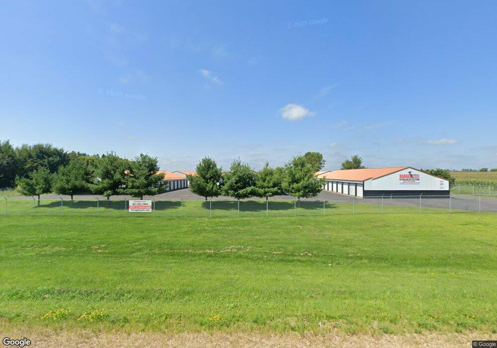
2070 Highway 65 New Richmond, WI 54017
Estimated Value: $1,856,822
--
Bed
--
Bath
--
Sq Ft
4.5
Acres
About This Home
This home is located at 2070 Highway 65, New Richmond, WI 54017 and is currently estimated at $1,856,822. 2070 Highway 65 is a home located in St. Croix County with nearby schools including New Richmond High School and St. Mary School.
Ownership History
Date
Name
Owned For
Owner Type
Purchase Details
Closed on
Aug 28, 2015
Sold by
Russell Garry H and Russell Gloria E
Bought by
Mid West Built Llc
Current Estimated Value
Home Financials for this Owner
Home Financials are based on the most recent Mortgage that was taken out on this home.
Original Mortgage
$740,000
Outstanding Balance
$583,788
Interest Rate
4.04%
Mortgage Type
Construction
Estimated Equity
$1,273,034
Purchase Details
Closed on
Oct 26, 2012
Sold by
Russell Heather S
Bought by
Russell Darren G
Purchase Details
Closed on
Nov 16, 2005
Sold by
Olsen Gerald G
Bought by
Russell Garry H and Russell Gloria E
Home Financials for this Owner
Home Financials are based on the most recent Mortgage that was taken out on this home.
Original Mortgage
$220,000
Interest Rate
6.17%
Mortgage Type
Purchase Money Mortgage
Create a Home Valuation Report for This Property
The Home Valuation Report is an in-depth analysis detailing your home's value as well as a comparison with similar homes in the area
Home Values in the Area
Average Home Value in this Area
Purchase History
| Date | Buyer | Sale Price | Title Company |
|---|---|---|---|
| Mid West Built Llc | $925,000 | Stewart Title Company | |
| Russell Darren G | $42,300 | None Available | |
| Russell Garry H | -- | None Available |
Source: Public Records
Mortgage History
| Date | Status | Borrower | Loan Amount |
|---|---|---|---|
| Open | Mid West Built Llc | $740,000 | |
| Previous Owner | Russell Garry H | $220,000 |
Source: Public Records
Tax History Compared to Growth
Tax History
| Year | Tax Paid | Tax Assessment Tax Assessment Total Assessment is a certain percentage of the fair market value that is determined by local assessors to be the total taxable value of land and additions on the property. | Land | Improvement |
|---|---|---|---|---|
| 2024 | $176 | $1,021,400 | $68,300 | $953,100 |
| 2023 | $15,886 | $1,021,400 | $68,300 | $953,100 |
| 2022 | $13,668 | $1,021,400 | $68,300 | $953,100 |
| 2021 | $13,766 | $1,021,400 | $68,300 | $953,100 |
| 2020 | $13,823 | $1,021,400 | $68,300 | $953,100 |
| 2019 | $10,601 | $1,021,400 | $68,300 | $953,100 |
| 2018 | $10,649 | $592,100 | $52,500 | $539,600 |
| 2017 | $10,383 | $592,100 | $52,500 | $539,600 |
| 2016 | $10,383 | $592,100 | $52,500 | $539,600 |
| 2015 | $9,957 | $592,100 | $52,500 | $539,600 |
| 2014 | $9,617 | $592,100 | $52,500 | $539,600 |
| 2013 | $9,836 | $592,100 | $52,500 | $539,600 |
Source: Public Records
Map
Nearby Homes
- 2106 135th St
- 2161 132nd St
- 1320 216th Ave
- 1269 202nd Ave
- 2167 County Road C
- 1408 Highway 64
- 1290 220th Ave
- 2207 127th St
- 1172 Caneel St
- 3 W North Shore Dr
- 6 W North Shore Dr
- 2 W North Shore Dr
- 987 Turner Ln
- 956 Turner Ln
- 1094 N Shore Dr
- 1133 N Shore Dr
- 1157 N Shore Drive Lot 12 Dr
- 844 Brady Ln
- 227 N 4th St
- 1256 195th Ave
- 2066 Highway 65
- 2050 Highway 65
- XXXX Wisconsin 65
- 1408 210th Ave
- 1384 210th Ave
- 2040 Highway 65
- 1380 210th Ave
- 1418 210th Ave
- 1418 210th Ave
- 2036 Highway 65
- 1376 210th Ave
- 2112 Highway 65
- 1397 211th Ave
- 1368 210th Ave
- 1393 211th Ave
- 1429 210th Ave
- 1389 211th Ave
- 2101 135th St
- 1385 211th Ave
- 1396 211th Ave