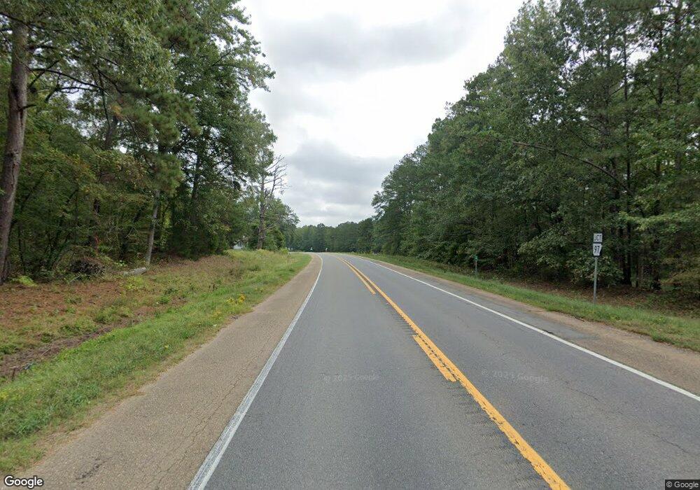
2070 Highway 79 Phil Campbell, AL 35581
Estimated Value: $186,000 - $224,611
--
Bed
--
Bath
1,904
Sq Ft
$108/Sq Ft
Est. Value
About This Home
This home is located at 2070 Highway 79, Phil Campbell, AL 35581 and is currently estimated at $205,306, approximately $107 per square foot. 2070 Highway 79 is a home.
Create a Home Valuation Report for This Property
The Home Valuation Report is an in-depth analysis detailing your home's value as well as a comparison with similar homes in the area
Home Values in the Area
Average Home Value in this Area
Tax History Compared to Growth
Tax History
| Year | Tax Paid | Tax Assessment Tax Assessment Total Assessment is a certain percentage of the fair market value that is determined by local assessors to be the total taxable value of land and additions on the property. | Land | Improvement |
|---|---|---|---|---|
| 2024 | $1 | $20,540 | $1,680 | $18,860 |
| 2023 | $1 | $19,480 | $1,600 | $17,880 |
| 2022 | $1 | $17,800 | $1,500 | $16,300 |
| 2021 | $1 | $15,600 | $900 | $14,700 |
| 2020 | $1 | $15,600 | $900 | $14,700 |
| 2019 | $1 | $15,650 | $930 | $14,720 |
| 2018 | $1 | $13,300 | $900 | $12,400 |
| 2017 | $1 | $11,700 | $900 | $10,800 |
| 2016 | $1 | $11,700 | $900 | $10,800 |
| 2015 | $1 | $11,700 | $900 | $10,800 |
| 2014 | $329 | $13,600 | $900 | $12,700 |
| 2013 | $321 | $13,300 | $800 | $12,500 |
Source: Public Records
Map
Nearby Homes
- 571 Cothrum Rd
- 879 County Road 3413
- 000 Benefield Farm Rd
- 1601 Kelley Rd
- 00 Co Rd 54 Parcel #2
- 430 County Road 54
- 000 Co Rd 54 Parcel #3
- 0000 Co Rd 54 Parcel #4
- 0 Hwy 74 Unit 525366
- 526 Co Hwy 369
- 461 Cox Rd
- 0 Cr 470
- 0 County Road 51
- 0 Highway 81
- 327 County Road 470
- 0 Alabama 243
- 1047 County Line Church Rd
- 201 George Ave
- 482 Shelnutt Loop
- 232 Rebecca Dr
