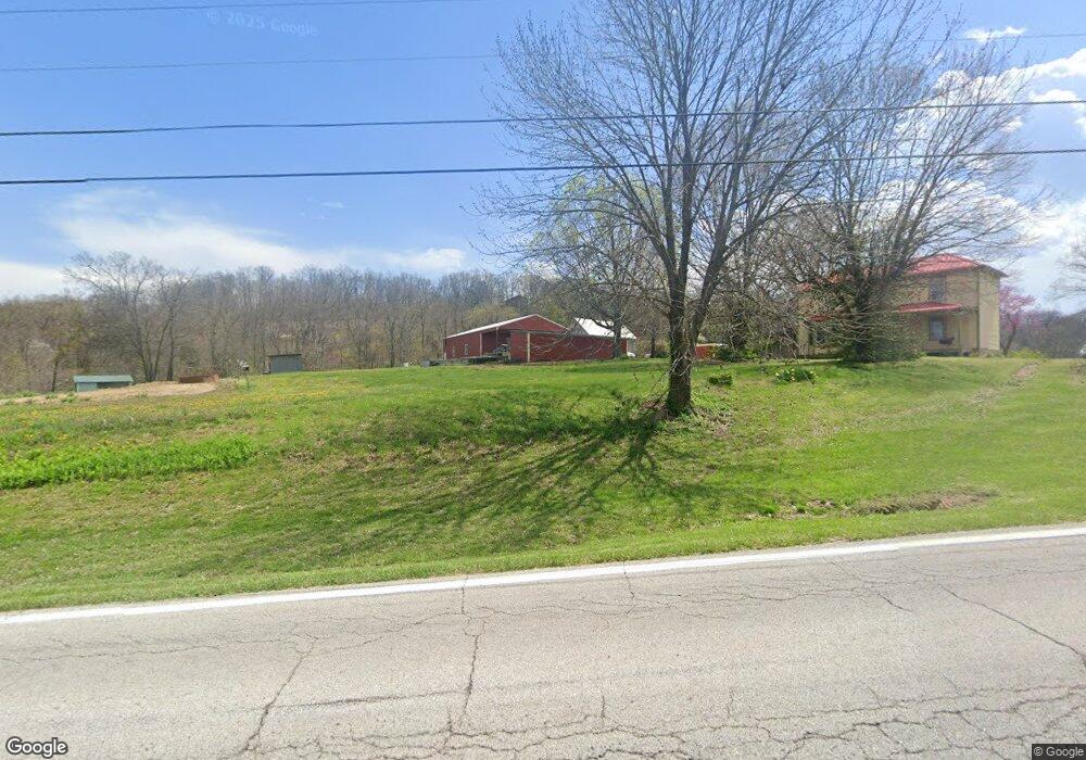
2070 Highway T Labadie, MO 63055
Estimated Value: $377,831 - $474,000
3
Beds
1
Bath
2,178
Sq Ft
$198/Sq Ft
Est. Value
About This Home
This home is located at 2070 Highway T, Labadie, MO 63055 and is currently estimated at $431,458, approximately $198 per square foot. 2070 Highway T is a home located in Franklin County with nearby schools including Washington High School.
Ownership History
Date
Name
Owned For
Owner Type
Purchase Details
Closed on
Aug 3, 2022
Sold by
Obermark Jeffrey W
Bought by
Obermark Joni V
Current Estimated Value
Purchase Details
Closed on
Mar 24, 2022
Sold by
Obermarm Jeffrey W and Obermarm Joni V
Bought by
Obermark Joni V
Home Financials for this Owner
Home Financials are based on the most recent Mortgage that was taken out on this home.
Original Mortgage
$129,500
Interest Rate
3.63%
Mortgage Type
New Conventional
Create a Home Valuation Report for This Property
The Home Valuation Report is an in-depth analysis detailing your home's value as well as a comparison with similar homes in the area
Home Values in the Area
Average Home Value in this Area
Purchase History
| Date | Buyer | Sale Price | Title Company |
|---|---|---|---|
| Obermark Joni V | -- | None Listed On Document | |
| Obermark Joni V | -- | None Listed On Document |
Source: Public Records
Mortgage History
| Date | Status | Borrower | Loan Amount |
|---|---|---|---|
| Previous Owner | Obermark Joni V | $129,500 |
Source: Public Records
Tax History Compared to Growth
Tax History
| Year | Tax Paid | Tax Assessment Tax Assessment Total Assessment is a certain percentage of the fair market value that is determined by local assessors to be the total taxable value of land and additions on the property. | Land | Improvement |
|---|---|---|---|---|
| 2024 | $1,914 | $27,972 | $0 | $0 |
| 2023 | $1,914 | $27,972 | $0 | $0 |
| 2022 | $1,671 | $25,719 | $0 | $0 |
| 2021 | $1,684 | $25,719 | $0 | $0 |
| 2020 | $1,579 | $23,106 | $0 | $0 |
| 2019 | $1,579 | $23,106 | $0 | $0 |
| 2018 | $1,475 | $21,478 | $0 | $0 |
| 2017 | $1,473 | $21,478 | $0 | $0 |
| 2016 | $1,224 | $18,108 | $0 | $0 |
| 2015 | $1,159 | $18,108 | $0 | $0 |
| 2014 | $1,176 | $18,685 | $0 | $0 |
Source: Public Records
Map
Nearby Homes
- 930 Broken Arrow Dr
- 793 Lakeway Dr
- 801 Lakeway Dr
- 274 Lake Labadie Dr
- 576 Riverview Dr
- 19 Hermit Hollow Dr
- 127 Front St
- 0 Lot 1 Iron Horse Trail
- 807 Iron Horse Trail
- 109 Lake Rd
- 110 Lake Rd
- Lot 2 Hunters Ridge Dr
- 125 Skyview Ln
- 0 Hwy Mm Unit MAR25012377
- 409 Puetz Ln
- 784 Sunset Maple Dr
- 000 Highway Mm
- 1029 Thiebes Rd
- 415 Wilderness Trail
- 423 Wilderness Trail
- 2151 Becker Rd
- 1908 Highway T
- 2173 Becker Rd
- 2130 Highway T
- 2179 Becker Rd
- 1995 Grand Army Rd
- 2180 Highway T
- 229 Wild Irish Rose Dr
- 105 Willow Rd
- 1985 Grand Army Rd
- 774 Lewis And Clark Dr
- 9 Lewis And Clark Dr
- 6 Lewis And Clark Dr
- 125 Willow Rd
- 130 Powell Point Rd
- 1975 Grand Army Rd
- 100 Powell Point Rd
- 222 Wild Irish Rose Dr
- 0 Lewis And Clark Dr Unit 19002971
- 0 Lewis And Clark Dr