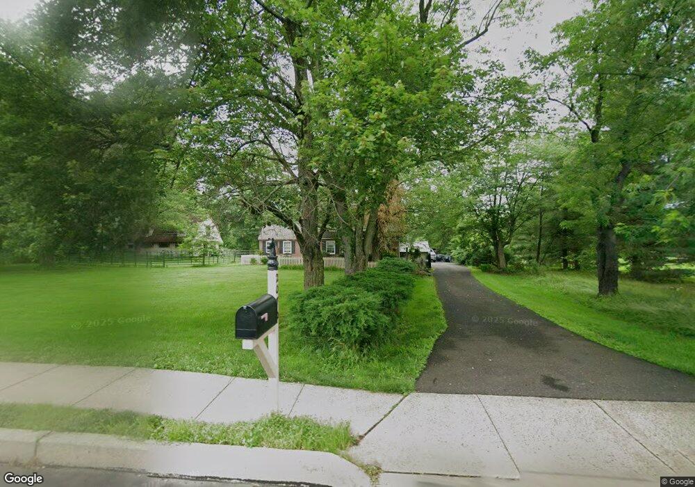
2070 Land Rd Jamison, PA 18929
Estimated Value: $578,000 - $745,000
4
Beds
2
Baths
2,254
Sq Ft
$282/Sq Ft
Est. Value
About This Home
This home is located at 2070 Land Rd, Jamison, PA 18929 and is currently estimated at $635,321, approximately $281 per square foot. 2070 Land Rd is a home located in Bucks County with nearby schools including Jamison Elementary School, Tamanend Middle School, and Central Bucks High School - South.
Ownership History
Date
Name
Owned For
Owner Type
Purchase Details
Closed on
Oct 7, 1995
Sold by
Lang George T and Lang Patricia A
Bought by
Lang George T and Lang Patricia A
Current Estimated Value
Purchase Details
Closed on
Jul 28, 1972
Bought by
Lang George T
Create a Home Valuation Report for This Property
The Home Valuation Report is an in-depth analysis detailing your home's value as well as a comparison with similar homes in the area
Home Values in the Area
Average Home Value in this Area
Purchase History
| Date | Buyer | Sale Price | Title Company |
|---|---|---|---|
| Lang George T | -- | -- | |
| Lang George T | -- | -- |
Source: Public Records
Tax History Compared to Growth
Tax History
| Year | Tax Paid | Tax Assessment Tax Assessment Total Assessment is a certain percentage of the fair market value that is determined by local assessors to be the total taxable value of land and additions on the property. | Land | Improvement |
|---|---|---|---|---|
| 2025 | $7,150 | $41,080 | $9,400 | $31,680 |
| 2024 | $7,150 | $41,080 | $9,400 | $31,680 |
| 2023 | $6,924 | $41,080 | $9,400 | $31,680 |
| 2022 | $6,846 | $41,080 | $9,400 | $31,680 |
| 2021 | $6,770 | $41,080 | $9,400 | $31,680 |
| 2020 | $6,770 | $41,080 | $9,400 | $31,680 |
| 2019 | $6,729 | $41,080 | $9,400 | $31,680 |
| 2018 | $6,729 | $41,080 | $9,400 | $31,680 |
| 2017 | $6,678 | $41,080 | $9,400 | $31,680 |
| 2016 | $6,678 | $41,080 | $9,400 | $31,680 |
| 2015 | -- | $41,080 | $9,400 | $31,680 |
| 2014 | -- | $41,080 | $9,400 | $31,680 |
Source: Public Records
Map
Nearby Homes
- 1877 Brook Ln
- 2127 York Rd
- 1554 Park Dr
- Northbrook Plan at Jamison Place
- Westmont Plan at Jamison Place
- Faraday Plan at Jamison Place
- Homesite 102 Marquis Ln
- Homesite 10102 Marquis Ln
- Homesite 10103 Marquis Ln
- 1504 Springfield Ct Unit 37
- 1990 York Rd
- 5005 Quartermaster Ln
- 2018 Buckingham Dr
- 1620 Rockcress Dr
- 1618 Mayfield Cir
- 5011 Quartermaster Ln
- Homesite 11903 Quartermaster Ln
- 3020 Marquis Ln
- 3014 Marquis Ln
- Homesite 11001 Marquis Ln
- 2040 Land Rd
- 2034 Land Rd
- 1916 Fairmount Dr
- 1914 Fairmont Dr
- 1916 Fairmont Dr
- 2026 Land Rd
- 1918 Fairmont Dr
- 2059 Land Rd
- 1912 Fairmont Dr
- 1910 Fairmont Dr
- 1717 Lafayette Dr
- 1719 Lafayette Dr
- 2009 Sunrise Way
- 1913 Fairmount Dr
- 1913 Fairmont Dr
- 1715 Lafayette Dr
- 2013 Sunrise Way
- 1915 Fairmont Dr
- 1721 Lafayette Dr
- 2023 Sunrise Way