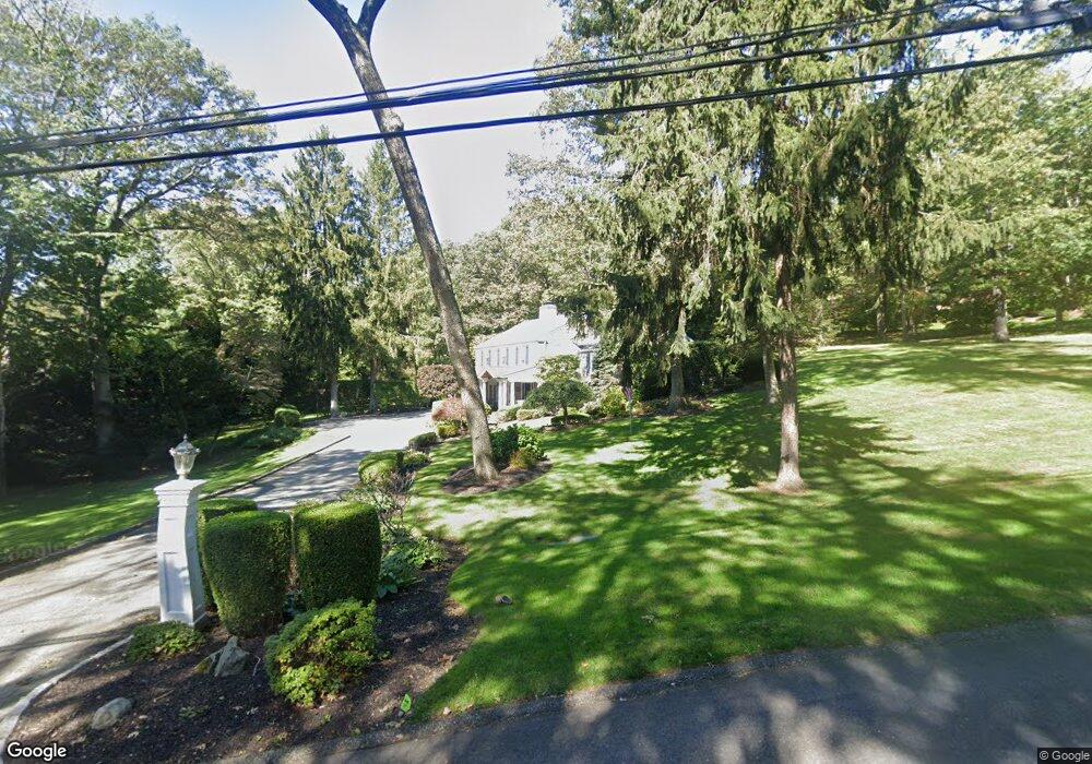
2070 Lansing Place Syosset, NY 11791
Estimated Value: $1,787,000 - $2,264,840
5
Beds
3
Baths
3,000
Sq Ft
$675/Sq Ft
Est. Value
About This Home
This home is located at 2070 Lansing Place, Syosset, NY 11791 and is currently estimated at $2,025,920, approximately $675 per square foot. 2070 Lansing Place is a home located in Nassau County with nearby schools including Syosset Senior High School, St Edward Confessor School, and Long Island Lutheran Middle & High School.
Ownership History
Date
Name
Owned For
Owner Type
Purchase Details
Closed on
Apr 5, 2007
Sold by
Schwartz Peter
Bought by
Grotas Jason
Current Estimated Value
Purchase Details
Closed on
Apr 30, 1999
Sold by
Duane Joan R
Bought by
Schwartz Peter L and Schwartz Roxanne
Create a Home Valuation Report for This Property
The Home Valuation Report is an in-depth analysis detailing your home's value as well as a comparison with similar homes in the area
Home Values in the Area
Average Home Value in this Area
Purchase History
| Date | Buyer | Sale Price | Title Company |
|---|---|---|---|
| Grotas Jason | $1,430,000 | -- | |
| Schwartz Peter L | $661,750 | -- |
Source: Public Records
Tax History Compared to Growth
Tax History
| Year | Tax Paid | Tax Assessment Tax Assessment Total Assessment is a certain percentage of the fair market value that is determined by local assessors to be the total taxable value of land and additions on the property. | Land | Improvement |
|---|---|---|---|---|
| 2025 | $26,070 | $998 | $786 | $212 |
| 2024 | $4,748 | $998 | $786 | $212 |
| 2023 | $24,737 | $1,057 | $934 | $123 |
| 2022 | $24,737 | $998 | $786 | $212 |
| 2021 | $21,448 | $1,154 | $909 | $245 |
| 2020 | $25,864 | $1,557 | $1,556 | $1 |
| 2019 | $24,287 | $1,557 | $1,556 | $1 |
| 2018 | $22,741 | $1,557 | $0 | $0 |
| 2017 | $17,315 | $1,557 | $1,556 | $1 |
| 2016 | $20,432 | $1,557 | $1,556 | $1 |
| 2015 | $2,675 | $1,557 | $1,466 | $91 |
| 2014 | $2,675 | $1,557 | $1,466 | $91 |
| 2013 | $2,508 | $1,557 | $1,466 | $91 |
Source: Public Records
Map
Nearby Homes
- 2072 Lansing Place
- 2068 Lansing Place
- 2044 Ridge Rd
- 2066 Ridge Rd
- 2075 Lansing Place
- 2042 Ridge Rd
- 2046 Ridge Rd
- 2074 Lansing Place
- 2038 Ridge Rd
- 2064 Ridge Rd
- 2064 Ridge Rd
- 2064 Crest Rd
- 2040 Ridge Rd
- 2062 Crest Rd
- 2076 Midlane S
- 2060 Crest Rd
- 2048 Crest Rd
- 30 Carriage Ct
- 2036 Ridge Rd
- 2002 Midlane S