2070 Meredith Rd Delaware, OH 43015
Estimated Value: $612,000 - $824,000
3
Beds
3
Baths
2,751
Sq Ft
$264/Sq Ft
Est. Value
About This Home
This home is located at 2070 Meredith Rd, Delaware, OH 43015 and is currently estimated at $725,526, approximately $263 per square foot. 2070 Meredith Rd is a home located in Delaware County with nearby schools including Buckeye Valley High School.
Ownership History
Date
Name
Owned For
Owner Type
Purchase Details
Closed on
Feb 28, 2022
Sold by
Jolliff Bradley S and Jolliff Bettye C
Bought by
Jolliff Bradley S and Jolliff Bettye C
Current Estimated Value
Purchase Details
Closed on
Jul 7, 2015
Sold by
Huffman Doris E and Huffman Doris E
Bought by
Jolliff Bradley S and Jolliff Bettye C
Create a Home Valuation Report for This Property
The Home Valuation Report is an in-depth analysis detailing your home's value as well as a comparison with similar homes in the area
Home Values in the Area
Average Home Value in this Area
Purchase History
| Date | Buyer | Sale Price | Title Company |
|---|---|---|---|
| Jolliff Bradley S | -- | Wright & Moore Law Co Lpa | |
| Jolliff Bradley S | -- | Wright & Moore Law Co Lpa | |
| Jolliff Bradley S | -- | Attorney |
Source: Public Records
Tax History
| Year | Tax Paid | Tax Assessment Tax Assessment Total Assessment is a certain percentage of the fair market value that is determined by local assessors to be the total taxable value of land and additions on the property. | Land | Improvement |
|---|---|---|---|---|
| 2024 | $7,986 | $217,110 | $41,440 | $175,670 |
| 2023 | $7,983 | $217,110 | $41,440 | $175,670 |
| 2022 | $7,775 | $187,710 | $27,650 | $160,060 |
| 2021 | $4,106 | $98,810 | $27,650 | $71,160 |
| 2020 | $3,210 | $76,790 | $27,650 | $49,140 |
| 2019 | $3,822 | $90,510 | $18,270 | $72,240 |
| 2018 | $3,879 | $90,510 | $18,270 | $72,240 |
| 2017 | $3,520 | $81,450 | $16,210 | $65,240 |
| 2016 | $3,118 | $81,450 | $16,210 | $65,240 |
| 2015 | $3,560 | $87,960 | $17,750 | $70,210 |
| 2014 | -- | $87,960 | $17,750 | $70,210 |
| 2013 | $3,413 | $85,270 | $17,750 | $67,520 |
Source: Public Records
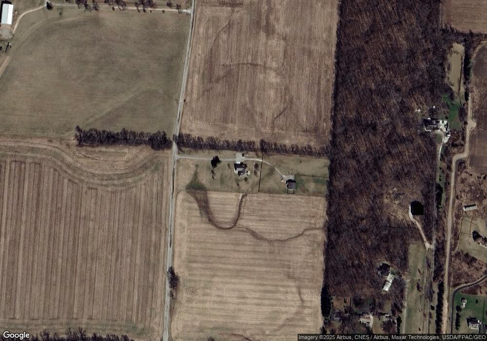
Map
Nearby Homes
- 3232 Gallant Rd
- 3414 State Route 203
- 6685 State Route 37 W
- 4389 State Route 203
- 130 Cedar Creek St
- 159 Marblewood Dr
- 2961 Warrensburg Rd
- 682 Penwell Dr
- Harmony Plan at Springer Woods
- Stamford Plan at Springer Woods
- Newcastle Plan at Springer Woods
- Aldridge Plan at Springer Woods
- Bellamy Plan at Springer Woods
- Henley Plan at Springer Woods
- Fairton Plan at Springer Woods
- Pendleton Plan at Springer Woods
- Holcombe Plan at Springer Woods
- 615 S Section Line Rd
- 1036 Hills Miller Rd
- 573 Penwell Dr
- 1615 Lawrence Rd
- 1569 Lawrence Rd
- 2262 Meredith Rd
- 1585 Lawrence Rd
- 1627 Lawrence Rd
- 1599 Lawrence Rd
- 2241 Meredith Rd
- 1462 Lawrence Rd
- 1649 Lawrence Rd
- 1675 Lawrence Rd
- 1681 Lawrence Rd
- 1715 Lawrence Rd
- 1735 Lawrence Rd
- 2527 State Route 203
- 1721 Lawrence Rd
- 1239 Lawrence Rd
- 1773 Lawrence Rd
- 1078 Lawrence Rd
- 2301 State Route 203
- 2610 Meredith Rd
Your Personal Tour Guide
Ask me questions while you tour the home.