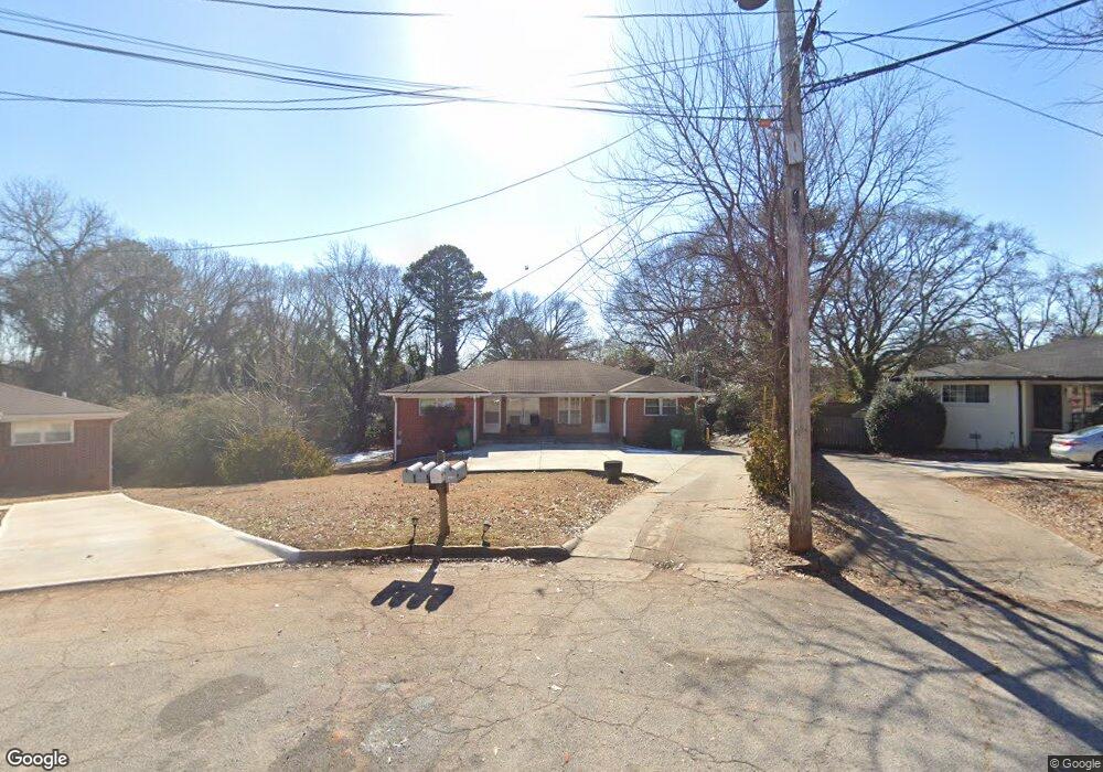
2070 Nettie Ct Unit 7,-2072 Decatur, GA 30032
Estimated Value: $298,000 - $433,000
5
Beds
4
Baths
1,944
Sq Ft
$196/Sq Ft
Est. Value
About This Home
This home is located at 2070 Nettie Ct Unit 7,-2072, Decatur, GA 30032 and is currently estimated at $380,333, approximately $195 per square foot. 2070 Nettie Ct Unit 7,-2072 is a home located in DeKalb County with nearby schools including Toney Elementary School, Columbia Middle School, and Columbia High School.
Ownership History
Date
Name
Owned For
Owner Type
Purchase Details
Closed on
Feb 8, 2017
Sold by
Fabian Andrew J
Bought by
Nathalie Llc
Current Estimated Value
Home Financials for this Owner
Home Financials are based on the most recent Mortgage that was taken out on this home.
Original Mortgage
$169,500
Outstanding Balance
$139,683
Interest Rate
4.12%
Mortgage Type
New Conventional
Estimated Equity
$240,650
Purchase Details
Closed on
Feb 7, 2005
Sold by
Jones Williams
Bought by
Abuta Iakram N
Create a Home Valuation Report for This Property
The Home Valuation Report is an in-depth analysis detailing your home's value as well as a comparison with similar homes in the area
Home Values in the Area
Average Home Value in this Area
Purchase History
| Date | Buyer | Sale Price | Title Company |
|---|---|---|---|
| Nathalie Llc | -- | -- | |
| Fabian Andrew J | $250,000 | -- | |
| Abuta Iakram N | $80,000 | -- |
Source: Public Records
Mortgage History
| Date | Status | Borrower | Loan Amount |
|---|---|---|---|
| Open | Fabian Andrew J | $169,500 | |
| Closed | Nathalie Llc | $169,500 |
Source: Public Records
Tax History Compared to Growth
Tax History
| Year | Tax Paid | Tax Assessment Tax Assessment Total Assessment is a certain percentage of the fair market value that is determined by local assessors to be the total taxable value of land and additions on the property. | Land | Improvement |
|---|---|---|---|---|
| 2025 | $7,438 | $153,440 | $30,880 | $122,560 |
| 2024 | $7,901 | $163,960 | $29,520 | $134,440 |
| 2023 | $7,901 | $162,000 | $22,680 | $139,320 |
| 2022 | $5,634 | $115,200 | $15,440 | $99,760 |
| 2021 | $5,466 | $111,360 | $10,000 | $101,360 |
| 2020 | $4,196 | $82,440 | $10,000 | $72,440 |
| 2019 | $4,568 | $90,920 | $10,000 | $80,920 |
| 2018 | $2,474 | $68,480 | $10,000 | $58,480 |
| 2017 | $2,234 | $37,560 | $3,240 | $34,320 |
| 2016 | $1,350 | $17,480 | $3,240 | $14,240 |
| 2014 | $1,112 | $11,800 | $2,840 | $8,960 |
Source: Public Records
Map
Nearby Homes
- 2753 Wedgewood Terrace
- 2728 Mcafee Rd
- 2075 Dellwood Place
- 2791 Mcafee Rd
- 2096 Dellwood Place
- 2131 Holly Hill Dr
- 2191 Miriam Ln
- 1937 Don Juan Ln
- 2819 Long Way
- 1917 Don Juan Ln
- 2665 Northview Ave
- 2076 Windy Hill Rd
- 2126 Seavey Dr
- 2130 Seavey Dr
- 2812 Mitchell Dr
- 2686 Ellen Way
- 2115 Nichols Ln
- 2127 Nichols Ln
- 2592 Habersham Dr
- 2623 Northview Ave
- 2070 Nettie Ct
- 2070 Nettie Ct Unit 2070
- 2070 Nettie Ct Unit 2072
- 2070 Nettie Ct
- 2066 Nettie Ct
- 2071 Nettie Ct
- 2071 Nettie Ct Unit 7
- 2750 Wedgewood Terrace
- 2744 Wedgewood Terrace
- 2058 Nettie Ct Unit A
- 2058 Nettie Ct Unit B
- 2058 Nettie Ct
- 2756 Wedgewood Terrace
- 2738 Wedgewood Terrace
- 2065 Nettie Ct
- 2762 Wedgewood Terrace
- 2732 Wedgewood Terrace
- 2061 Nettie Ct
- 2054 Nettie Ct
- 2768 Wedgewood Terrace