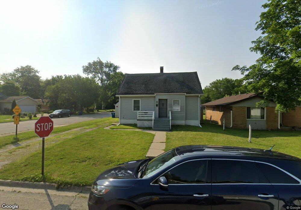
2070 Patrick Ave Kankakee, IL 60901
Estimated Value: $80,411 - $138,000
3
Beds
1
Bath
811
Sq Ft
$125/Sq Ft
Est. Value
About This Home
This home is located at 2070 Patrick Ave, Kankakee, IL 60901 and is currently estimated at $101,603, approximately $125 per square foot. 2070 Patrick Ave is a home located in Kankakee County with nearby schools including Edison Primary School, King Middle Grade School, and Kankakee Junior High School.
Ownership History
Date
Name
Owned For
Owner Type
Purchase Details
Closed on
Jun 9, 2020
Sold by
Trust No 16-17-04-204-010
Bought by
Rogers George K and Thomas Diana
Current Estimated Value
Purchase Details
Closed on
Jun 2, 2020
Sold by
County Clerk Of County Of Kankakee
Bought by
Trust No 16-17-04-204-010
Purchase Details
Closed on
Aug 12, 2019
Sold by
County Of Kankakee
Bought by
Trust No 16 & 17 & 04 & 204 & 010
Create a Home Valuation Report for This Property
The Home Valuation Report is an in-depth analysis detailing your home's value as well as a comparison with similar homes in the area
Home Values in the Area
Average Home Value in this Area
Purchase History
| Date | Buyer | Sale Price | Title Company |
|---|---|---|---|
| Rogers George K | -- | Schrimpf Stephen P | |
| Trust No 16-17-04-204-010 | -- | Schrimpf Stephen P | |
| Trust No 16 & 17 & 04 & 204 & 010 | -- | Schrimpf Stephen P |
Source: Public Records
Tax History
| Year | Tax Paid | Tax Assessment Tax Assessment Total Assessment is a certain percentage of the fair market value that is determined by local assessors to be the total taxable value of land and additions on the property. | Land | Improvement |
|---|---|---|---|---|
| 2024 | $2,055 | $17,383 | $1,131 | $16,252 |
| 2023 | $2,010 | $15,486 | $1,008 | $14,478 |
| 2022 | $1,842 | $13,554 | $882 | $12,672 |
| 2021 | $1,738 | $12,266 | $798 | $11,468 |
| 2020 | $1,613 | $11,025 | $717 | $10,308 |
| 2019 | $0 | $9,496 | $618 | $8,878 |
| 2018 | $1,480 | $9,496 | $618 | $8,878 |
| 2017 | $1,657 | $9,287 | $604 | $8,683 |
| 2016 | $1,553 | $9,105 | $592 | $8,513 |
| 2015 | $1,500 | $9,291 | $604 | $8,687 |
| 2014 | $1,445 | $9,291 | $604 | $8,687 |
| 2013 | -- | $12,098 | $629 | $11,469 |
Source: Public Records
Map
Nearby Homes
- 673 Wood Ct
- 439 Country Club Dr
- 1809 E Eagle St
- 470 S Nelson Ave
- 459 S Nelson Ave
- 1869 Summit Ave
- 1863 E Duane Blvd
- 540 S Osborn Ave
- 682 S Osborn Ave
- 201 N Cottage Ave
- 1436 E Eagle St
- 702 S Lincoln Ave
- 1295 E Merchant St
- 23-26 Illinois Ave
- 354 Tedmark Ct Unit 358
- 1257 E Sheridan St
- 1221 E Chestnut St
- 1050 S Nelson Ave Unit 4
- 780 S Elm Ave
- 312 S Evergreen Ave Unit 314
Your Personal Tour Guide
Ask me questions while you tour the home.