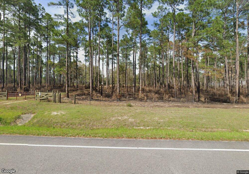
2070 State Highway 2 W Defuniak Springs, FL 32433
Estimated Value: $367,000 - $910,000
1
Bed
1
Bath
336
Sq Ft
$2,164/Sq Ft
Est. Value
About This Home
This home is located at 2070 State Highway 2 W, Defuniak Springs, FL 32433 and is currently estimated at $727,046, approximately $2,163 per square foot. 2070 State Highway 2 W is a home with nearby schools including Paxton School.
Ownership History
Date
Name
Owned For
Owner Type
Purchase Details
Closed on
Apr 10, 2023
Sold by
Timmons Brian F and Timmons Margaret A
Bought by
One Peter Five Holdings Llc
Current Estimated Value
Purchase Details
Closed on
Jun 10, 2022
Sold by
He Franzel and He Chung
Bought by
Timmons Brian F and Timmons Margaret A
Home Financials for this Owner
Home Financials are based on the most recent Mortgage that was taken out on this home.
Original Mortgage
$680,000
Interest Rate
5.27%
Mortgage Type
New Conventional
Create a Home Valuation Report for This Property
The Home Valuation Report is an in-depth analysis detailing your home's value as well as a comparison with similar homes in the area
Home Values in the Area
Average Home Value in this Area
Purchase History
| Date | Buyer | Sale Price | Title Company |
|---|---|---|---|
| One Peter Five Holdings Llc | $100 | None Listed On Document | |
| Timmons Brian F | $845,900 | New Title Company Name |
Source: Public Records
Mortgage History
| Date | Status | Borrower | Loan Amount |
|---|---|---|---|
| Previous Owner | Timmons Brian F | $680,000 |
Source: Public Records
Tax History Compared to Growth
Tax History
| Year | Tax Paid | Tax Assessment Tax Assessment Total Assessment is a certain percentage of the fair market value that is determined by local assessors to be the total taxable value of land and additions on the property. | Land | Improvement |
|---|---|---|---|---|
| 2024 | $528 | $664,913 | $649,050 | $15,863 |
| 2023 | $528 | $54,462 | $0 | $0 |
| 2022 | $482 | $48,991 | $0 | $0 |
| 2021 | $450 | $41,937 | $29,329 | $12,608 |
| 2020 | $451 | $40,733 | $29,329 | $11,404 |
| 2019 | $440 | $39,744 | $28,632 | $11,112 |
| 2018 | $431 | $38,643 | $0 | $0 |
| 2017 | $366 | $31,461 | $20,600 | $10,861 |
| 2016 | $369 | $31,376 | $20,600 | $10,776 |
| 2015 | $371 | $31,072 | $20,600 | $10,472 |
| 2014 | $350 | $28,439 | $19,605 | $8,834 |
Source: Public Records
Map
Nearby Homes
- 261 Wilkerson Rd
- 258 Briar Rd
- 6455 County Highway 0605
- 5676 State Highway 2 W
- TBD Brown Rd Unit Lot 1
- TBD Brown Rd Unit Lot 4
- TBD Brown Rd Unit Lot 3
- 0 County Highway 0605
- 0000 No Name
- 139 Acres Yorkey Rd
- 000 County Road 1084
- 91 North St
- Parcel B Adams Dr
- LOTS 52&53 Co 183b
- 510 Railroad Ave
- Tract#6201 W County Hwy 181 Unit Nat B-01
- Tract#6201 W Co Hwy 181 Nat B-01
- xx Wallace Rd
- 1921 Adams Dr
- Tract#6201 8 Mile Cemetery Rd Unit 2
