20707 NE 96th Ave Battle Ground, WA 98604
Estimated Value: $1,185,061 - $1,491,000
4
Beds
3
Baths
4,000
Sq Ft
$326/Sq Ft
Est. Value
About This Home
This home is located at 20707 NE 96th Ave, Battle Ground, WA 98604 and is currently estimated at $1,304,015, approximately $326 per square foot. 20707 NE 96th Ave is a home located in Clark County with nearby schools including Maple Grove Primary School, Prairie High School, and Firm Foundation Christian School.
Ownership History
Date
Name
Owned For
Owner Type
Purchase Details
Closed on
Aug 15, 2013
Sold by
Craig Robert S and Craig Kimberly K
Bought by
Falk Robert Louie and Falk Karol Renee
Current Estimated Value
Home Financials for this Owner
Home Financials are based on the most recent Mortgage that was taken out on this home.
Original Mortgage
$460,000
Outstanding Balance
$340,578
Interest Rate
4.28%
Mortgage Type
New Conventional
Estimated Equity
$963,437
Create a Home Valuation Report for This Property
The Home Valuation Report is an in-depth analysis detailing your home's value as well as a comparison with similar homes in the area
Home Values in the Area
Average Home Value in this Area
Purchase History
| Date | Buyer | Sale Price | Title Company |
|---|---|---|---|
| Falk Robert Louie | $575,000 | Stewart Title |
Source: Public Records
Mortgage History
| Date | Status | Borrower | Loan Amount |
|---|---|---|---|
| Open | Falk Robert Louie | $460,000 |
Source: Public Records
Tax History Compared to Growth
Tax History
| Year | Tax Paid | Tax Assessment Tax Assessment Total Assessment is a certain percentage of the fair market value that is determined by local assessors to be the total taxable value of land and additions on the property. | Land | Improvement |
|---|---|---|---|---|
| 2025 | $9,347 | $1,113,446 | $414,656 | $698,790 |
| 2024 | $8,670 | $1,072,133 | $414,656 | $657,477 |
| 2023 | $9,578 | $1,115,417 | $414,656 | $700,761 |
| 2022 | $8,176 | $1,127,777 | $389,167 | $738,610 |
| 2021 | $8,322 | $893,355 | $312,557 | $580,798 |
| 2020 | $8,600 | $829,775 | $297,824 | $531,951 |
| 2019 | $7,124 | $841,193 | $312,557 | $528,636 |
| 2018 | $8,520 | $798,370 | $0 | $0 |
| 2017 | $6,722 | $729,866 | $0 | $0 |
| 2016 | $6,768 | $625,497 | $0 | $0 |
| 2015 | $6,841 | $580,810 | $0 | $0 |
| 2014 | -- | $559,381 | $0 | $0 |
| 2013 | -- | $513,666 | $0 | $0 |
Source: Public Records
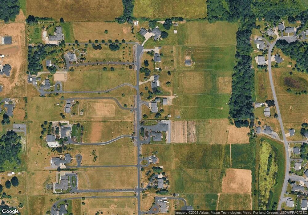
Map
Nearby Homes
- 20204 NE 104th Ave
- 1019 SW 27th Ct
- 10400 NE 197th St
- 2507 SW 5th Way
- 2213 SW 10th St
- 2307 SW 5th Cir
- 2514 W Main St
- 2301 SW 5th Cir
- 2111 SW 5th St
- 1816 SW 6th St
- 344 NW 29th Way
- 151 NW 30th Ave
- 10704 NE 189th St
- 4102 NE 187th St Unit LOT 289
- 1711 SW 3rd St
- 1513 SW 6th St
- 1512 SW 5th St
- 1707 SW 25th Cir
- 3009 NW 9th St
- 502 SW 15th Ave
- 20701 NE 96th Ave
- 20505 NE 96th Ave
- 20803 NE 96th Ave
- 20403 NE 96th Ave
- 20905 NE 96th Ave
- 20309 NE 96th Ave
- 20706 NE 96th Ave
- 20504 NE 96th Ave
- 20712 NE 96th Ave
- 20301 NE 96th Ave
- 20404 NE 96th Ave
- 20516 NE 101st Ct
- 20510 NE 101st Ct
- 20702 NE 101st Ct
- 20808 NE 96th Ave
- 20201 NE 96th Ave
- 20206 NE 96th Ave
- 20806 NE 101st Ct
- 20703 NE 101st Ct