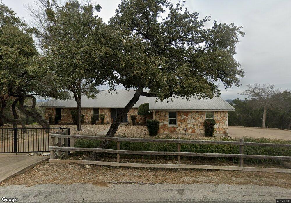
20708 Mockingbird Ln Spicewood, TX 78669
Estimated Value: $444,000 - $927,000
3
Beds
4
Baths
2,224
Sq Ft
$297/Sq Ft
Est. Value
About This Home
This home is located at 20708 Mockingbird Ln, Spicewood, TX 78669 and is currently estimated at $661,062, approximately $297 per square foot. 20708 Mockingbird Ln is a home located in Travis County with nearby schools including West Cypress Hills Elementary School, Lake Travis Middle School, and Lake Travis High School.
Ownership History
Date
Name
Owned For
Owner Type
Purchase Details
Closed on
Apr 25, 2003
Sold by
Dudley Robert D and Dudley Joanne D
Bought by
Lucas Robert M
Current Estimated Value
Home Financials for this Owner
Home Financials are based on the most recent Mortgage that was taken out on this home.
Original Mortgage
$215,200
Outstanding Balance
$92,788
Interest Rate
5.8%
Mortgage Type
Purchase Money Mortgage
Estimated Equity
$568,274
Create a Home Valuation Report for This Property
The Home Valuation Report is an in-depth analysis detailing your home's value as well as a comparison with similar homes in the area
Home Values in the Area
Average Home Value in this Area
Purchase History
| Date | Buyer | Sale Price | Title Company |
|---|---|---|---|
| Lucas Robert M | -- | -- |
Source: Public Records
Mortgage History
| Date | Status | Borrower | Loan Amount |
|---|---|---|---|
| Open | Lucas Robert M | $215,200 | |
| Closed | Lucas Robert M | $26,900 |
Source: Public Records
Tax History Compared to Growth
Tax History
| Year | Tax Paid | Tax Assessment Tax Assessment Total Assessment is a certain percentage of the fair market value that is determined by local assessors to be the total taxable value of land and additions on the property. | Land | Improvement |
|---|---|---|---|---|
| 2025 | $3,353 | $528,964 | $160,436 | $368,528 |
| 2023 | $3,142 | $546,159 | $0 | $0 |
| 2022 | $4,830 | $496,508 | $0 | $0 |
| 2021 | $9,021 | $451,371 | $106,250 | $463,903 |
| 2020 | $7,847 | $410,337 | $106,250 | $363,305 |
| 2018 | $6,727 | $339,122 | $106,250 | $374,865 |
| 2017 | $6,171 | $308,293 | $106,250 | $202,043 |
| 2016 | $6,226 | $311,024 | $106,250 | $204,774 |
| 2015 | $4,846 | $313,752 | $106,250 | $207,502 |
| 2014 | $4,846 | $298,904 | $0 | $0 |
Source: Public Records
Map
Nearby Homes
- 20815 Colorado Dr W
- 20819 & 20823 Colorado Dr W
- 10 Thurman Bluff Dr
- 701 N Angel Light Dr
- 20812 E Lakeshore Dr
- 20704 E Lakeshore Dr
- 20914 Lakeshore Dr W
- 20926 Lakeshore Dr W
- 20700 Lakeshore Dr E
- 107 N Angel Light Dr
- 00 Angel Light Dr
- 105 Angel Light Dr
- 0 Angel Light Dr
- 21107 Santa Monica Ave
- 20982 Waterside Dr Unit 41
- 21107 Highland Lake Dr Unit 3
- 21307 Cardinal Ave
- 1303 Robin Trail
- 1311 Emerald Rd
- 21411 Cardinal Ave
- 122 Cedar Ln
- 20800 Cedar Ln
- 114 Cedar Ln
- 805 Skyline Dr
- 905 Skyline Dr
- 411 Cedar Ln
- 405 Cedar Ln
- 317 Cedar Ln
- 310 Mockingbird Ln
- 102 Cedar Ln
- 102 Cedar Ln
- 801 Skyline Dr
- 20804 Mockingbird Ln
- 100 Cedar Ln
- 201 Mockingbird Ln
- 901 Skyline
- 20704 Thurman Bend Rd
- 20808 Cedar Ln
- 20803 Colorado Dr W
- 20732 Colorado Dr E