


$325,000
- 3 Beds
- 2 Baths
- 1,237 Sq Ft
- 106 Pineview Dr
- Monroe, GA
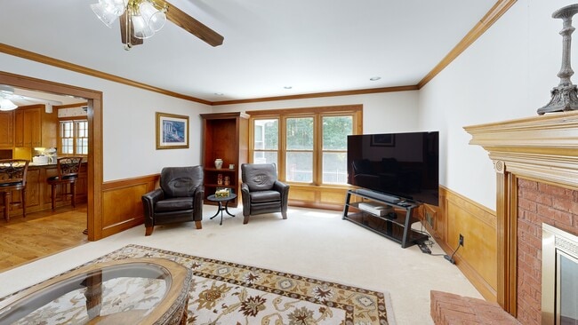
Come check out this cozy, cute 3 bedroom, 2 bathroom home located in the heart of Monroe. This home has new windows, new water heater, HVAC was replaced in 2015 and the roof is only 3 years old. The home still has the original hardwoods and the stone fireplace gives the home so much character. The large, screened in back porch is a nice asset to this home. There is also an uncovered patio off of
Erica Miles Keller Williams Realty Atl. Partners