2071 Highway 330 Bogart, GA 30622
Estimated Value: $328,000 - $604,000
--
Bed
2
Baths
1,308
Sq Ft
$306/Sq Ft
Est. Value
About This Home
This home is located at 2071 Highway 330, Bogart, GA 30622 and is currently estimated at $400,699, approximately $306 per square foot. 2071 Highway 330 is a home located in Jackson County with nearby schools including South Jackson Elementary School, East Jackson Middle School, and East Jackson Comprehensive High School.
Ownership History
Date
Name
Owned For
Owner Type
Purchase Details
Closed on
May 18, 2018
Sold by
Ward Jimmie Ann Patton
Bought by
Ward Michael E
Current Estimated Value
Purchase Details
Closed on
May 3, 2007
Sold by
Not Provided
Bought by
Barber Wayne and Barber Sue
Purchase Details
Closed on
Mar 14, 2007
Sold by
Not Provided
Bought by
Barber Wayne and Barber Sue
Purchase Details
Closed on
Mar 9, 1998
Sold by
Goodwin John B and Goodwin Sad
Bought by
Goodwin John B
Create a Home Valuation Report for This Property
The Home Valuation Report is an in-depth analysis detailing your home's value as well as a comparison with similar homes in the area
Home Values in the Area
Average Home Value in this Area
Purchase History
| Date | Buyer | Sale Price | Title Company |
|---|---|---|---|
| Ward Michael E | -- | -- | |
| Barber Wayne | -- | -- | |
| Barber Wayne | $151,574 | -- | |
| Goodwin John B | -- | -- |
Source: Public Records
Tax History Compared to Growth
Tax History
| Year | Tax Paid | Tax Assessment Tax Assessment Total Assessment is a certain percentage of the fair market value that is determined by local assessors to be the total taxable value of land and additions on the property. | Land | Improvement |
|---|---|---|---|---|
| 2024 | $2,738 | $107,920 | $60,600 | $47,320 |
| 2023 | $2,738 | $102,280 | $60,600 | $41,680 |
| 2022 | $1,763 | $61,040 | $28,480 | $32,560 |
| 2021 | $1,775 | $61,040 | $28,480 | $32,560 |
| 2020 | $1,745 | $54,560 | $28,480 | $26,080 |
| 2019 | $1,772 | $54,560 | $28,480 | $26,080 |
| 2018 | $1,515 | $53,240 | $28,480 | $24,760 |
| 2017 | $1,401 | $49,455 | $27,069 | $22,386 |
| 2016 | $1,409 | $49,455 | $27,069 | $22,386 |
| 2015 | $1,417 | $49,454 | $27,069 | $22,386 |
| 2014 | $1,352 | $47,224 | $27,069 | $20,155 |
| 2013 | -- | $48,284 | $27,068 | $21,216 |
Source: Public Records
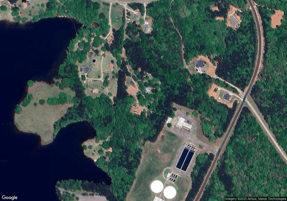
Map
Nearby Homes
- 0 Marko Dr Unit 1024157
- 345 Three Oaks Dr
- 160 Evans Dr
- 5109 Tallassee Rd
- 105 S Arcadia Dr
- 179 St Thomas Place
- 145 S Arcadia Dr
- 690 Roquemore Rd
- 267 Bear Creek Meadows Dr
- 0 Ford Rd Unit 10591534
- 0 Ford Rd Unit 7638741
- 192 Lakeover Cir
- 139 Lake Forest Dr
- 0 Highway 330 Unit 10299917
- 556 Fuller Rd
- 0 Tallassee Rd Unit 1022503
- 0 Tallassee Rd Unit 10415955
- 350 Huff Lake Rd
- 243 Bellamy Rd
- 67 Curry Falls Trail Rd
- 147 Crystal Ln
- 178 Crystal Ln
- 2067 Highway 330
- 2067 Highway 330
- 114 Crystal Ln
- 325 Crystal Ln
- 110 Crystal Ln
- 2027 Highway 330
- 2045 Highway 330
- 2045 Highway 330
- 2098 Highway 330
- 106 Rapids Dr
- 54 Rapids Dr
- 0 Savage Rd
- 0 Savage Rd Unit CM937142
- 0 Savage Rd Unit Lot 9 CM1001304
- 0 Savage Rd Unit Lot 2 CM1001295
- 0 Savage Rd Unit Lot 8 CM1001302
- 0 Savage Rd Unit Lot 7 CM1001301
- 0 Savage Rd Unit Lot 6 CM1001300