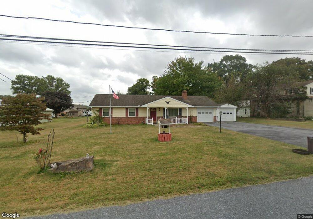
2071 Locust Grove Rd Manheim, PA 17545
Estimated Value: $268,000 - $406,000
3
Beds
1
Bath
1,222
Sq Ft
$275/Sq Ft
Est. Value
About This Home
This home is located at 2071 Locust Grove Rd, Manheim, PA 17545 and is currently estimated at $336,066, approximately $275 per square foot. 2071 Locust Grove Rd is a home located in Lancaster County with nearby schools including Manheim Central Senior High School.
Ownership History
Date
Name
Owned For
Owner Type
Purchase Details
Closed on
Oct 24, 2022
Sold by
Frederick John E
Bought by
Frederick Eric
Current Estimated Value
Home Financials for this Owner
Home Financials are based on the most recent Mortgage that was taken out on this home.
Original Mortgage
$60,000
Outstanding Balance
$57,990
Interest Rate
6.7%
Mortgage Type
New Conventional
Estimated Equity
$278,076
Create a Home Valuation Report for This Property
The Home Valuation Report is an in-depth analysis detailing your home's value as well as a comparison with similar homes in the area
Home Values in the Area
Average Home Value in this Area
Purchase History
| Date | Buyer | Sale Price | Title Company |
|---|---|---|---|
| Frederick Eric | -- | -- |
Source: Public Records
Mortgage History
| Date | Status | Borrower | Loan Amount |
|---|---|---|---|
| Open | Frederick Eric | $60,000 |
Source: Public Records
Tax History Compared to Growth
Tax History
| Year | Tax Paid | Tax Assessment Tax Assessment Total Assessment is a certain percentage of the fair market value that is determined by local assessors to be the total taxable value of land and additions on the property. | Land | Improvement |
|---|---|---|---|---|
| 2025 | $3,401 | $166,800 | $61,400 | $105,400 |
| 2024 | $3,401 | $166,800 | $61,400 | $105,400 |
| 2023 | $3,329 | $166,800 | $61,400 | $105,400 |
| 2022 | $3,243 | $166,800 | $61,400 | $105,400 |
| 2021 | $3,170 | $166,800 | $61,400 | $105,400 |
| 2020 | $3,170 | $166,800 | $61,400 | $105,400 |
| 2019 | $3,115 | $166,800 | $61,400 | $105,400 |
| 2018 | $2,274 | $166,800 | $61,400 | $105,400 |
| 2017 | $2,930 | $125,700 | $34,900 | $90,800 |
| 2016 | $2,930 | $125,700 | $34,900 | $90,800 |
| 2015 | $696 | $125,700 | $34,900 | $90,800 |
| 2014 | $2,039 | $125,700 | $34,900 | $90,800 |
Source: Public Records
Map
Nearby Homes
- 1524 Newport Rd
- 1430 N Penryn Rd
- 1505 Newport Rd
- LOT 12 Scenic Dr
- Lot 11 Scenic Dr
- Lot 6 Scenic Dr
- 1806 Larch Cir
- 809 W Brubaker Valley Rd
- 2891 Newport Rd
- 903 Tulip Tree Dr
- 232 Mansion House Rd
- 655 White Oak Rd
- 807 Holly Ln
- 541 Hemlock Ln
- 50 W 28th Division Hwy
- 514 W 28th Division Hwy
- 410 Cannon
- 1227 Lebanon Rd
- 1217 Lebanon Rd
- 408 Cannon Way
- 2063 Locust Grove Rd
- 1073 Mountain Rd
- 1089 Mountain Rd
- 1061 Mountain Rd
- 2041 Locust Grove Rd
- 1047 Mountain Rd
- 2019 Locust Grove Rd
- 1100 Mountain Rd
- 1078 Mountain Rd
- 1120 Mountain Rd
- 1132 Mountain Rd
- 1146 Mountain Rd
- 1156 Mountain Rd
- 1142 Mountain Rd
- 1166 Mountain Rd
- 2045 Sanctuary Rd
- 2055 Sanctuary Rd
- 877 Mountain Rd
- 2069 Sanctuary Rd
- 2037 Sanctuary Rd