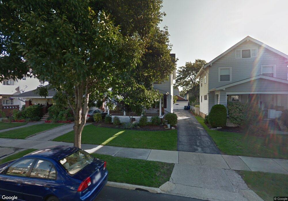
2071 Richland Ave Lakewood, OH 44107
Estimated Value: $278,000 - $318,000
3
Beds
1
Bath
1,144
Sq Ft
$257/Sq Ft
Est. Value
About This Home
This home is located at 2071 Richland Ave, Lakewood, OH 44107 and is currently estimated at $293,840, approximately $256 per square foot. 2071 Richland Ave is a home located in Cuyahoga County with nearby schools including Roosevelt Elementary School, Garfield Middle School, and Lakewood High School.
Ownership History
Date
Name
Owned For
Owner Type
Purchase Details
Closed on
Feb 10, 2015
Sold by
Bir Terese M
Bought by
Bir Robert A
Current Estimated Value
Purchase Details
Closed on
Apr 30, 2007
Sold by
The Estate Of Florence C Bir and Bir Lawrence A
Bought by
Bir Robert A and Bir Terese M
Home Financials for this Owner
Home Financials are based on the most recent Mortgage that was taken out on this home.
Original Mortgage
$100,992
Outstanding Balance
$61,464
Interest Rate
6.18%
Mortgage Type
FHA
Estimated Equity
$232,376
Purchase Details
Closed on
Jan 1, 1975
Bought by
Bir Florence C
Create a Home Valuation Report for This Property
The Home Valuation Report is an in-depth analysis detailing your home's value as well as a comparison with similar homes in the area
Home Values in the Area
Average Home Value in this Area
Purchase History
| Date | Buyer | Sale Price | Title Company |
|---|---|---|---|
| Bir Robert A | -- | Attorney | |
| Bir Robert A | $102,600 | Chicago Title Insurance C | |
| Bir Florence C | -- | -- |
Source: Public Records
Mortgage History
| Date | Status | Borrower | Loan Amount |
|---|---|---|---|
| Open | Bir Robert A | $100,992 |
Source: Public Records
Tax History Compared to Growth
Tax History
| Year | Tax Paid | Tax Assessment Tax Assessment Total Assessment is a certain percentage of the fair market value that is determined by local assessors to be the total taxable value of land and additions on the property. | Land | Improvement |
|---|---|---|---|---|
| 2024 | $5,545 | $84,420 | $17,675 | $66,745 |
| 2023 | $4,861 | $63,350 | $13,650 | $49,700 |
| 2022 | $4,893 | $63,350 | $13,650 | $49,700 |
| 2021 | $4,846 | $63,350 | $13,650 | $49,700 |
| 2020 | $4,298 | $49,110 | $10,570 | $38,540 |
| 2019 | $4,219 | $140,300 | $30,200 | $110,100 |
| 2018 | $3,809 | $49,110 | $10,570 | $38,540 |
| 2017 | $3,516 | $37,210 | $8,540 | $28,670 |
| 2016 | $3,493 | $37,210 | $8,540 | $28,670 |
| 2015 | $3,407 | $37,210 | $8,540 | $28,670 |
| 2014 | $3,407 | $35,780 | $8,230 | $27,550 |
Source: Public Records
Map
Nearby Homes
- 2100 Wascana Ave
- 2078 Baxterly Ave
- 1669 Robinwood Ave
- 1675 Roosevelt Ave
- 2203 Bunts Rd
- 14404 Bayes Ave
- 2180 Elbur Ave
- 2045 Chesterland Ave
- 2233 Bunts Rd
- 2180 Lewis Dr
- 2035 Chesterland Ave
- 2204 Lewis Dr
- 14031 Lakewood Heights Blvd
- 1576 Wyandotte Ave
- 14428 Delaware Ave
- 1593 Marlowe Ave
- 1605 Lewis Dr
- 2070 Clarence Ave
- 1532 Parkwood Rd
- 2208 Waterbury Rd
- 2075 Richland Ave
- 2065 Richland Ave
- 2077 Richland Ave
- 2059 Richland Ave
- 2079 Richland Ave
- 2055 Richland Ave
- 2066 Bunts Rd
- 2066 2068 Bunts Rd
- 2070 Bunts Rd
- 2062 2064 Bunts Rd
- 2062 Bunts Rd
- 2076 Bunts Rd
- 2085 Richland Ave
- 2058 Bunts Rd
- 2051 Richland Ave
- 2068 Richland Ave
- 2064 Richland Ave
- 2070 2072 Richland Ave
- 2070 Richland Ave
- 2078 Bunts Rd