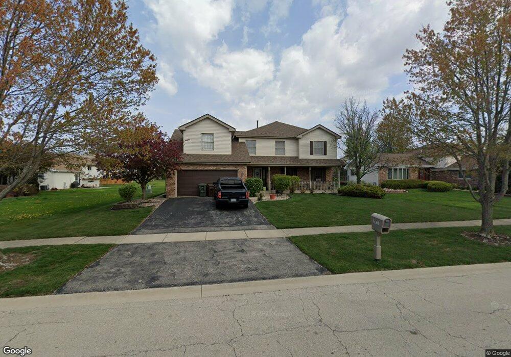
2071 Tower Bridge Rd New Lenox, IL 60451
Estimated Value: $489,045 - $559,000
About This Home
This home is located at 2071 Tower Bridge Rd, New Lenox, IL 60451 and is currently estimated at $511,511. 2071 Tower Bridge Rd is a home located in Will County with nearby schools including Spencer Trail, Spencer Pointe, and Spencer Crossing Intermediate School.
Ownership History
We collect this data history from publicly available records. To have your information removed, we recommend requesting removal directly through your county’s website.
Purchase Details
Home Financials for this Owner
Home Financials are based on the most recent Mortgage that was taken out on this home.Home Values in the Area
Average Home Value in this Area
Purchase History
We collect this data history from publicly available records. To have your information removed, we recommend requesting removal directly through your county’s website.
| Date | Buyer | Sale Price | Title Company |
|---|---|---|---|
| $215,000 | -- |
Mortgage History
We collect this data history from publicly available records. To have your information removed, we recommend requesting removal directly through your county’s website.
| Date | Status | Borrower | Loan Amount |
|---|---|---|---|
| Open | $140,000 |
Tax History
We collect this data history from publicly available records. To have your information removed, we recommend requesting removal directly through your county’s website.
| Year | Tax Paid | Tax Assessment Tax Assessment Total Assessment is a certain percentage of the fair market value that is determined by local assessors to be the total taxable value of land and additions on the property. | Land | Improvement |
|---|---|---|---|---|
| 2024 | $12,631 | $164,918 | $36,393 | $128,525 |
| 2023 | $12,085 | $150,335 | $33,175 | $117,160 |
| 2022 | $11,464 | $138,494 | $30,562 | $107,932 |
| 2021 | $10,889 | $130,250 | $28,743 | $101,507 |
| 2020 | $10,583 | $125,602 | $27,717 | $97,885 |
| 2019 | $10,133 | $121,708 | $26,858 | $94,850 |
| 2018 | $9,902 | $117,513 | $25,932 | $91,581 |
| 2017 | $9,412 | $114,134 | $25,186 | $88,948 |
| 2016 | $9,139 | $111,079 | $24,512 | $86,567 |
| 2015 | $8,852 | $107,582 | $23,740 | $83,842 |
| 2014 | $8,852 | $106,254 | $23,447 | $82,807 |
| 2013 | $8,852 | $107,686 | $23,763 | $83,923 |
Map
- 601 Lisson Grove
- 572 Bishops Gate
- 1351 E Lincoln Hwy
- 611 Vanderbilt Dr
- 631 Vanderbilt Dr
- 651 Columbia Dr
- 772 Wellington Pkwy
- 711 Dartmouth Ln
- 931 Regent St
- 21410 S Covey Ct
- 2671 E Lincoln Hwy
- 309 E Circle Dr
- 2304 Riivendell Dr
- 1244 Georgias Way
- 1245 Georgias Way
- 12650 Brighton Ct
- 1212 Georgias Way
- 1193 Georgias Way
- 12526 Surrey Ct
- 1930 Tessington Ct
- 2081 Tower Bridge Rd
- 592 Lisson Grove
- 582 Lisson Grove
- 572 Lisson Grove
- 2111 Tower Bridge Rd
- 2256 Wellington Ct
- 2246 Wellington Ct
- 601 Downing St
- 2266 Wellington Ct
- 2236 Wellington Ct
- 602 Lisson Grove
- 2121 Tower Bridge Rd
- 2276 Wellington Ct
- 552 Lisson Grove
- 2286 Wellington Ct
- 2286 Wellington Ct
- 542 Lisson Grove
- 611 Downing St
- 602 Downing St
- 612 Lisson Grove
Ask me questions while you tour the home.