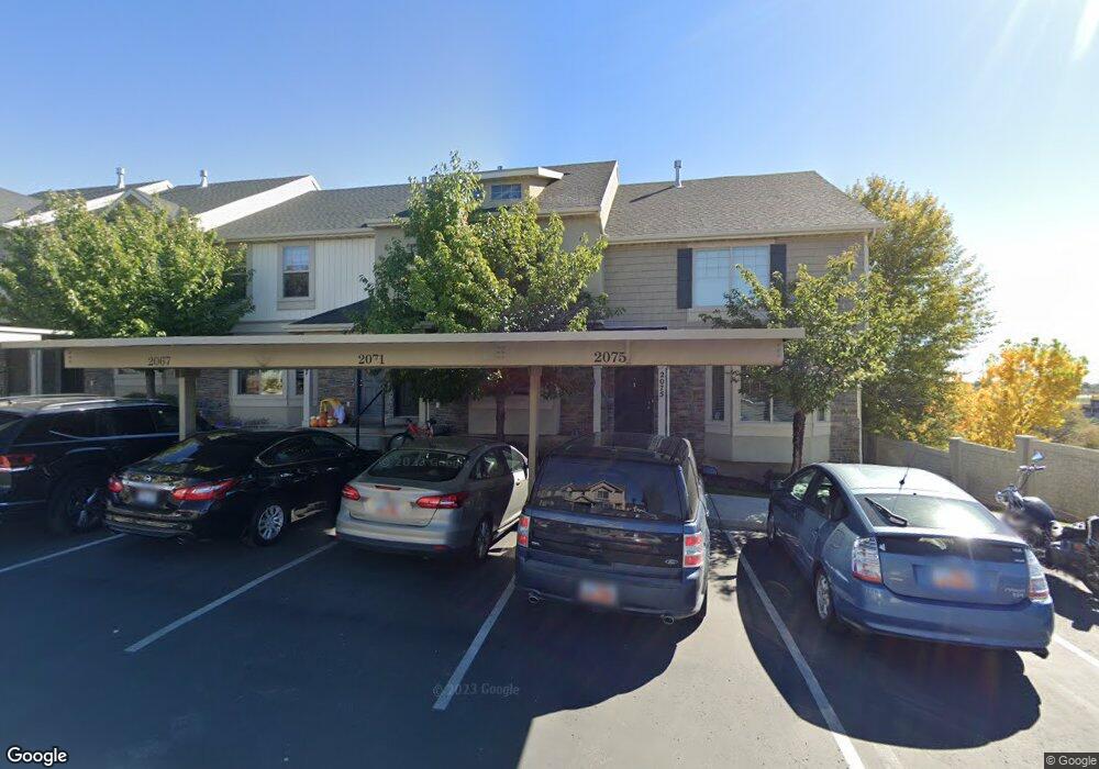
2071 W 1080 N Unit 94C Provo, UT 84604
Rivergrove NeighborhoodEstimated Value: $382,000 - $418,000
3
Beds
3
Baths
2,102
Sq Ft
$190/Sq Ft
Est. Value
About This Home
This home is located at 2071 W 1080 N Unit 94C, Provo, UT 84604 and is currently estimated at $400,229, approximately $190 per square foot. 2071 W 1080 N Unit 94C is a home located in Utah County with nearby schools including Westridge Elementary School, Dixon Middle School, and Provo High School.
Ownership History
Date
Name
Owned For
Owner Type
Purchase Details
Closed on
Mar 4, 2021
Sold by
Stone R Scott
Bought by
Stone Nathan Anthony
Current Estimated Value
Home Financials for this Owner
Home Financials are based on the most recent Mortgage that was taken out on this home.
Original Mortgage
$240,000
Outstanding Balance
$215,143
Interest Rate
2.7%
Mortgage Type
New Conventional
Estimated Equity
$185,086
Purchase Details
Closed on
Dec 22, 2020
Sold by
Davies David A
Bought by
Stone R Scott
Purchase Details
Closed on
Aug 28, 2015
Sold by
Ingram Independence Rentals Llc
Bought by
Davies David A
Home Financials for this Owner
Home Financials are based on the most recent Mortgage that was taken out on this home.
Original Mortgage
$185,630
Interest Rate
3.91%
Mortgage Type
New Conventional
Create a Home Valuation Report for This Property
The Home Valuation Report is an in-depth analysis detailing your home's value as well as a comparison with similar homes in the area
Home Values in the Area
Average Home Value in this Area
Purchase History
| Date | Buyer | Sale Price | Title Company |
|---|---|---|---|
| Stone Nathan Anthony | -- | Us Title Ins Agency | |
| Stone R Scott | -- | Homie Title Insruance Agcy | |
| Davies David A | -- | Provo Land Title Co |
Source: Public Records
Mortgage History
| Date | Status | Borrower | Loan Amount |
|---|---|---|---|
| Open | Stone Nathan Anthony | $240,000 | |
| Previous Owner | Davies David A | $185,630 |
Source: Public Records
Tax History Compared to Growth
Tax History
| Year | Tax Paid | Tax Assessment Tax Assessment Total Assessment is a certain percentage of the fair market value that is determined by local assessors to be the total taxable value of land and additions on the property. | Land | Improvement |
|---|---|---|---|---|
| 2025 | $2,099 | $204,985 | $54,800 | $317,900 |
| 2024 | $2,099 | $206,580 | $0 | $0 |
| 2023 | $2,031 | $197,120 | $0 | $0 |
| 2022 | $1,952 | $190,960 | $0 | $0 |
| 2021 | $1,530 | $261,100 | $39,200 | $221,900 |
| 2020 | $1,566 | $250,600 | $37,600 | $213,000 |
| 2019 | $1,503 | $250,000 | $32,500 | $217,500 |
| 2018 | $1,351 | $228,000 | $29,000 | $199,000 |
| 2017 | $1,220 | $113,080 | $0 | $0 |
| 2016 | $1,228 | $106,150 | $0 | $0 |
| 2015 | $1,159 | $101,200 | $0 | $0 |
| 2014 | $463 | $42,130 | $0 | $0 |
Source: Public Records
Map
Nearby Homes
- 2043 W 1100 N
- 1127 Independence Ave
- 2075 W 1080 N
- 962 Independence Ave
- 1893 Cascade Dr
- 927 Independence Ave
- 932 N 1760 W
- 2397 W 1160 N
- 1620 W 1000 N
- 1503 N 1980 W
- 1574 W 1400 N
- 1616 N 2100 W
- 582 N 2310 W
- 2216 W 480 N
- 1471 W 1460 N
- 1682 N 2250 W
- 2316 W 510 N
- 1679 N 2250 W
- 1475 Arthur Dr Unit 7A
- 392 N 2150 W
- 2075 W 1080 N Unit 93
- 2071 W 1080 N
- 2067 W 1080 N Unit 95
- 2063 W 1080 N Unit 96
- 2059 W 1080 N
- 2059 W 1080 N Unit 97B
- 1913 W 1020 N Unit 31
- 1913 W 1020 N
- 2074 W 1080 N Unit 101
- 2047 W 1080 N
- 2070 W 1080 N
- 2066 W 1080 N Unit 103
- 2066 W 1080 N
- 2058 W 1080 N
- 1059 N 1880 W
- 1059 N 1880 W Unit 42
- 1055 N 1880 W Unit 41
- 1055 N 1880 W
- 2054 W 1080 N
- 1914 W 1020 N Unit 33