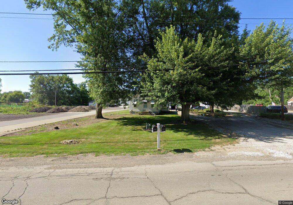
2071 Wadsworth Rd Norton, OH 44203
Estimated Value: $93,000 - $187,000
3
Beds
1
Bath
805
Sq Ft
$177/Sq Ft
Est. Value
About This Home
This home is located at 2071 Wadsworth Rd, Norton, OH 44203 and is currently estimated at $142,692, approximately $177 per square foot. 2071 Wadsworth Rd is a home located in Summit County with nearby schools including Norton Primary Elementary School, Norton Middle School, and Norton High School.
Ownership History
Date
Name
Owned For
Owner Type
Purchase Details
Closed on
Mar 30, 2023
Sold by
Madden Julie A
Bought by
Julie A Madden Revocable Trust
Current Estimated Value
Purchase Details
Closed on
Oct 17, 2002
Sold by
Wilson Richard C and Wilson Naomi A
Bought by
Madden James R and Madden Julie A
Purchase Details
Closed on
Jun 7, 2002
Sold by
Carter Charles K
Bought by
Madden James R and Madden Julie A
Purchase Details
Closed on
Jun 16, 1999
Sold by
Carter Charles K
Bought by
Carter Charles K
Create a Home Valuation Report for This Property
The Home Valuation Report is an in-depth analysis detailing your home's value as well as a comparison with similar homes in the area
Home Values in the Area
Average Home Value in this Area
Purchase History
| Date | Buyer | Sale Price | Title Company |
|---|---|---|---|
| Julie A Madden Revocable Trust | -- | -- | |
| Madden James R | $56,000 | -- | |
| Madden James R | $74,500 | -- | |
| Carter Charles K | -- | -- |
Source: Public Records
Tax History Compared to Growth
Tax History
| Year | Tax Paid | Tax Assessment Tax Assessment Total Assessment is a certain percentage of the fair market value that is determined by local assessors to be the total taxable value of land and additions on the property. | Land | Improvement |
|---|---|---|---|---|
| 2025 | $1,595 | $38,109 | $8,509 | $29,600 |
| 2024 | $1,595 | $38,109 | $8,509 | $29,600 |
| 2023 | $1,595 | $38,109 | $8,509 | $29,600 |
| 2022 | $1,721 | $33,782 | $7,462 | $26,320 |
| 2021 | $1,730 | $33,782 | $7,462 | $26,320 |
| 2020 | $1,621 | $33,780 | $7,460 | $26,320 |
| 2019 | $1,342 | $24,570 | $8,130 | $16,440 |
| 2018 | $1,320 | $24,570 | $8,130 | $16,440 |
| 2017 | $1,726 | $24,570 | $8,130 | $16,440 |
| 2016 | $1,726 | $29,430 | $9,820 | $19,610 |
| 2015 | $1,726 | $29,430 | $9,820 | $19,610 |
| 2014 | $1,710 | $29,430 | $9,820 | $19,610 |
| 2013 | $1,692 | $29,430 | $9,820 | $19,610 |
Source: Public Records
Map
Nearby Homes
- 2065 Wadsworth Rd
- 2072 Warren Ave
- 3007 Wilbanks Dr
- 2194 Regina Rd
- 0 Vernon Odom Blvd Unit 5175808
- 2515 Wright Rd
- 2395 Hull Dr
- V/L-5.80 AC Romig Rd
- 1970 Newdale Ave
- 3260 Aldon Ln
- 1515 Grand Blvd
- 213 Hermann St
- 1304 Kellogg Ave
- 172 & 173 Belcher Ave
- 3133 Fair Oaks Dr
- 1289 Harpster Ave
- 1282 Kellogg Ave
- 2767 Steeb Cir
- 1199 Iona Ave
- 117 Fernwood Ave
- 2081 Wadsworth Rd
- 2055 Wadsworth Rd
- 2037 Wadsworth Rd
- 2068 Wadsworth Rd
- 2033 Wadsworth Rd
- 2019 Wadsworth Rd
- 2113 Wadsworth Rd
- 2108 Wadsworth Rd
- 2011 Wadsworth Rd
- 2090 Wadsworth Rd
- 1998 Wadsworth Rd
- 1990 Wadsworth Rd
- 0 Heritage Pkwy
- 1980 Wadsworth Rd
- 2047 Wadsworth Rd
- 2 Heritage Pkwy
- 6 Heritage Pkwy Unit S/L 6
- 2 V/L Heritage Pkwy
- 1970 Wadsworth Rd
- 2476 Heritage