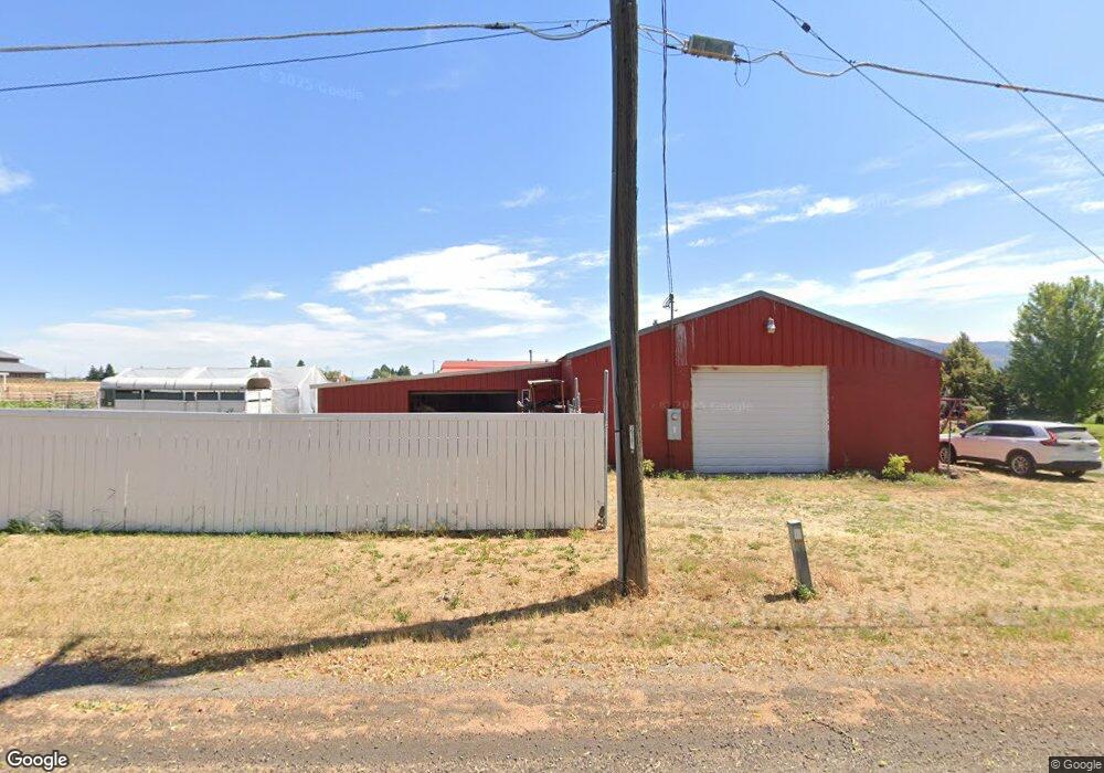
20711 E Euclid Ave Otis Orchards, WA 99027
Otis Orchards-East Farms NeighborhoodEstimated Value: $581,686 - $627,000
3
Beds
2
Baths
1,991
Sq Ft
$304/Sq Ft
Est. Value
About This Home
This home is located at 20711 E Euclid Ave, Otis Orchards, WA 99027 and is currently estimated at $604,343, approximately $303 per square foot. 20711 E Euclid Ave is a home located in Spokane County with nearby schools including Otis Orchards School, East Valley Middle School, and East Valley High School & Extension.
Ownership History
Date
Name
Owned For
Owner Type
Purchase Details
Closed on
Oct 10, 2023
Sold by
Waide Lewis R
Bought by
Waide Lewis R and Waide Mary E
Current Estimated Value
Purchase Details
Closed on
Aug 24, 2010
Sold by
Waide Tonia L and Waide Lewis R
Bought by
Waide Lewis R
Purchase Details
Closed on
Mar 30, 2004
Sold by
Bouscher Beverly J
Bought by
Waide Lewis R and Waide Tonia L
Home Financials for this Owner
Home Financials are based on the most recent Mortgage that was taken out on this home.
Original Mortgage
$116,000
Interest Rate
5.57%
Mortgage Type
Purchase Money Mortgage
Purchase Details
Closed on
Oct 3, 2003
Sold by
Gage Bruce B
Bought by
Bouscher Beverly J
Create a Home Valuation Report for This Property
The Home Valuation Report is an in-depth analysis detailing your home's value as well as a comparison with similar homes in the area
Home Values in the Area
Average Home Value in this Area
Purchase History
| Date | Buyer | Sale Price | Title Company |
|---|---|---|---|
| Waide Lewis R | $313 | None Listed On Document | |
| Waide Lewis R | -- | None Available | |
| Waide Lewis R | -- | Pacific Nw Title | |
| Bouscher Beverly J | -- | Pacific Nw Title |
Source: Public Records
Mortgage History
| Date | Status | Borrower | Loan Amount |
|---|---|---|---|
| Previous Owner | Waide Lewis R | $116,000 |
Source: Public Records
Tax History Compared to Growth
Tax History
| Year | Tax Paid | Tax Assessment Tax Assessment Total Assessment is a certain percentage of the fair market value that is determined by local assessors to be the total taxable value of land and additions on the property. | Land | Improvement |
|---|---|---|---|---|
| 2025 | $5,043 | $492,300 | $235,100 | $257,200 |
| 2024 | $5,043 | $491,200 | $230,100 | $261,100 |
| 2023 | $5,104 | $491,200 | $230,100 | $261,100 |
| 2022 | $4,886 | $501,200 | $230,100 | $271,100 |
| 2021 | $4,621 | $350,800 | $158,400 | $192,400 |
| 2020 | $4,456 | $319,960 | $146,060 | $173,900 |
| 2019 | $3,951 | $286,450 | $130,050 | $156,400 |
| 2018 | $3,653 | $244,470 | $94,870 | $149,600 |
| 2017 | $3,265 | $216,570 | $94,870 | $121,700 |
| 2016 | $2,879 | $192,410 | $82,110 | $110,300 |
| 2015 | $2,905 | $187,610 | $82,110 | $105,500 |
| 2014 | -- | $186,210 | $82,110 | $104,100 |
| 2013 | -- | $0 | $0 | $0 |
Source: Public Records
Map
Nearby Homes
- 19810 E Snake River Ave
- 20170 E Glenbrook Ave
- 1788 N Umatilla St
- 20190 E Deschutes Ave
- 1727 N Umatilla St
- 1717 N Umatilla St
- 20980 E Augusta Ct
- 20990 E Augusta Ct
- 2020 N Hodges Ln
- 20210 E Nora Ave
- 19511 E Shannon Ave
- 19029 E Frederick Ave
- 4904 N Darin Rd
- 1915 N Cavalier Rd
- 19018 E Fairview Ave
- 1660 N Marne Ln
- 19322 E Flat Rock River Ln
- 22521 E Penrose Ln
- 1726 N Caufield Ct
- 22512 Penrose Ln
- 20909 E Euclid Ave
- 3333 N Ashton Rd
- 3405 N Ashton Rd
- 3504 N Ashton Rd
- 3421 N Ashton Rd
- 20419 E Euclid Ave
- 3510 N Ashton Rd
- 21017 E Euclid Ave
- 20401 E Euclid Ave
- 3505 N Ashton Rd
- 3520 N Ashton Rd
- 3300 N Kenney Rd
- 20323 E Euclid Ave
- 3606 N Ashton Rd
- 3220 N Campbell Rd
- 3226 N Campbell Rd
- 3508 N Campbell Rd
- 3424 N Campbell Rd
- 3322 N Campbell Rd
- 3616 N Ashton Rd