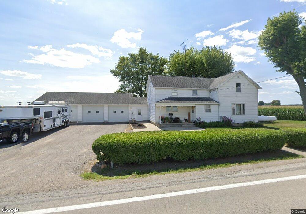
20715 State Route 189 Fort Jennings, OH 45844
Estimated Value: $227,000 - $856,235
--
Bed
1
Bath
1,396
Sq Ft
$341/Sq Ft
Est. Value
About This Home
This home is located at 20715 State Route 189, Fort Jennings, OH 45844 and is currently estimated at $475,745, approximately $340 per square foot. 20715 State Route 189 is a home located in Putnam County with nearby schools including Fort Jennings Elementary School and Fort Jennings High School.
Create a Home Valuation Report for This Property
The Home Valuation Report is an in-depth analysis detailing your home's value as well as a comparison with similar homes in the area
Home Values in the Area
Average Home Value in this Area
Tax History Compared to Growth
Tax History
| Year | Tax Paid | Tax Assessment Tax Assessment Total Assessment is a certain percentage of the fair market value that is determined by local assessors to be the total taxable value of land and additions on the property. | Land | Improvement |
|---|---|---|---|---|
| 2024 | $3,659 | $122,730 | $74,310 | $48,420 |
| 2023 | $3,787 | $82,560 | $43,030 | $39,530 |
| 2022 | $2,854 | $199,259 | $159,730 | $39,529 |
| 2021 | $2,909 | $82,910 | $43,030 | $39,880 |
| 2020 | $2,848 | $117,200 | $81,300 | $35,900 |
| 2019 | $3,422 | $99,480 | $65,670 | $33,810 |
| 2018 | $3,348 | $99,480 | $65,670 | $33,810 |
| 2017 | $3,972 | $99,480 | $65,670 | $33,810 |
| 2016 | $3,972 | $117,200 | $81,300 | $35,900 |
| 2015 | $4,362 | $117,200 | $81,300 | $35,900 |
| 2014 | $4,547 | $121,400 | $81,300 | $40,100 |
| 2013 | $2,997 | $78,610 | $38,510 | $40,100 |
Source: Public Records
Map
Nearby Homes
- 22345 Road T
- 6585 Huffer Rd
- 7465 N Wapakoneta Rd
- 6875 Ridge Rd
- 20501 U S 224
- 7110 Elida Rd
- 914 E 3rd St
- 0 Heritage Cir Unit 6112034
- 0 Heritage Cir Unit 303239
- 804 N Moening St
- 650 E 6th St
- 821 E 3rd St
- 7510 State Route 66
- 810 N Franklin St
- 628 N Pierce St
- 4150 W Lincoln Hwy
- 704 N Franklin St
- 633 E 2nd St
- 1035 N Main St
- 106 Sunset Dr