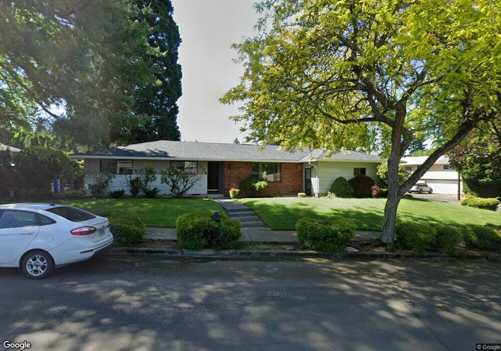
20718 SE Burnside Ct Gresham, OR 97030
Northwest Gresham NeighborhoodEstimated Value: $447,396 - $454,000
3
Beds
2
Baths
1,696
Sq Ft
$265/Sq Ft
Est. Value
About This Home
This home is located at 20718 SE Burnside Ct, Gresham, OR 97030 and is currently estimated at $449,599, approximately $265 per square foot. 20718 SE Burnside Ct is a home located in Multnomah County with nearby schools including North Gresham Elementary School, Clear Creek Middle School, and Gresham High School.
Ownership History
Date
Name
Owned For
Owner Type
Purchase Details
Closed on
Nov 1, 2011
Sold by
Paurus Rick M
Bought by
Paurus Loraine J
Current Estimated Value
Home Financials for this Owner
Home Financials are based on the most recent Mortgage that was taken out on this home.
Original Mortgage
$132,400
Outstanding Balance
$89,953
Interest Rate
4.02%
Mortgage Type
New Conventional
Estimated Equity
$359,646
Purchase Details
Closed on
Feb 22, 2001
Sold by
Maes Richard D
Bought by
Paurus Rick M and Paurus Loraine J
Home Financials for this Owner
Home Financials are based on the most recent Mortgage that was taken out on this home.
Original Mortgage
$145,800
Interest Rate
6.89%
Mortgage Type
Purchase Money Mortgage
Create a Home Valuation Report for This Property
The Home Valuation Report is an in-depth analysis detailing your home's value as well as a comparison with similar homes in the area
Home Values in the Area
Average Home Value in this Area
Purchase History
| Date | Buyer | Sale Price | Title Company |
|---|---|---|---|
| Paurus Loraine J | -- | Stewart Title | |
| Paurus Rick M | $162,000 | Chicago Title Insurance Co |
Source: Public Records
Mortgage History
| Date | Status | Borrower | Loan Amount |
|---|---|---|---|
| Open | Paurus Loraine J | $132,400 | |
| Closed | Paurus Rick M | $145,800 |
Source: Public Records
Tax History
| Year | Tax Paid | Tax Assessment Tax Assessment Total Assessment is a certain percentage of the fair market value that is determined by local assessors to be the total taxable value of land and additions on the property. | Land | Improvement |
|---|---|---|---|---|
| 2025 | $4,977 | $244,580 | -- | -- |
| 2024 | $4,764 | $237,460 | -- | -- |
| 2023 | $4,341 | $230,550 | $0 | $0 |
| 2022 | $4,219 | $223,840 | $0 | $0 |
| 2021 | $4,113 | $217,330 | $0 | $0 |
| 2020 | $3,870 | $211,000 | $0 | $0 |
| 2019 | $3,769 | $204,860 | $0 | $0 |
| 2018 | $3,594 | $198,900 | $0 | $0 |
| 2017 | $3,448 | $193,110 | $0 | $0 |
| 2016 | $3,040 | $187,490 | $0 | $0 |
Source: Public Records
Map
Nearby Homes
- 2013 NW Bella Vista Dr
- 1811 NW 19th St
- 21033 SE Clay Ct
- 1861 NW Wonderview Ave
- 21016 SE Stark St Unit 71
- 21016 SE Stark St Unit 69
- 1596 NW Riverview Ave
- 21260 SE Stark St
- 21400 SE Stark St Unit 2
- 21532 SE Alder St
- 1387 NW Riverview Ave Unit 14B
- 70 NW Birdsdale Ave
- 0 SE Burnside St
- 19776 SE Stark St Unit 147
- 209 SE 214th Ave
- 522 SE 199th Ave
- 21525 SE Oak St
- 805 SE 197th Ave
- 132 SE 214th Ave
- 1325 NW 9th St
- 1348 SE 207th Ave
- 1345 SE 208th Ave
- 1407 SE 208th Ave
- 20725 SE Burnside Ct
- 20717 SE Burnside Ct
- 1345 SE 207th Ave
- 1333 SE 207th Ave
- 1410 SE 207th Ave
- 1413 SE 208th Ave
- 1411 SE 208th Ave
- 1357 SE 207th Ave
- 20731 SE Burnside Ct
- 20707 SE Burnside Ct
- 1409 SE 207th Ave
- 2005 NW Bella Vista Dr
- 20805 SE Burnside Ct
- 2019 NW Bella Vista Dr
- 1421 SE 208th Ave
- 20633 SE Burnside Ct
- 1342 SE 208th Ave
Your Personal Tour Guide
Ask me questions while you tour the home.