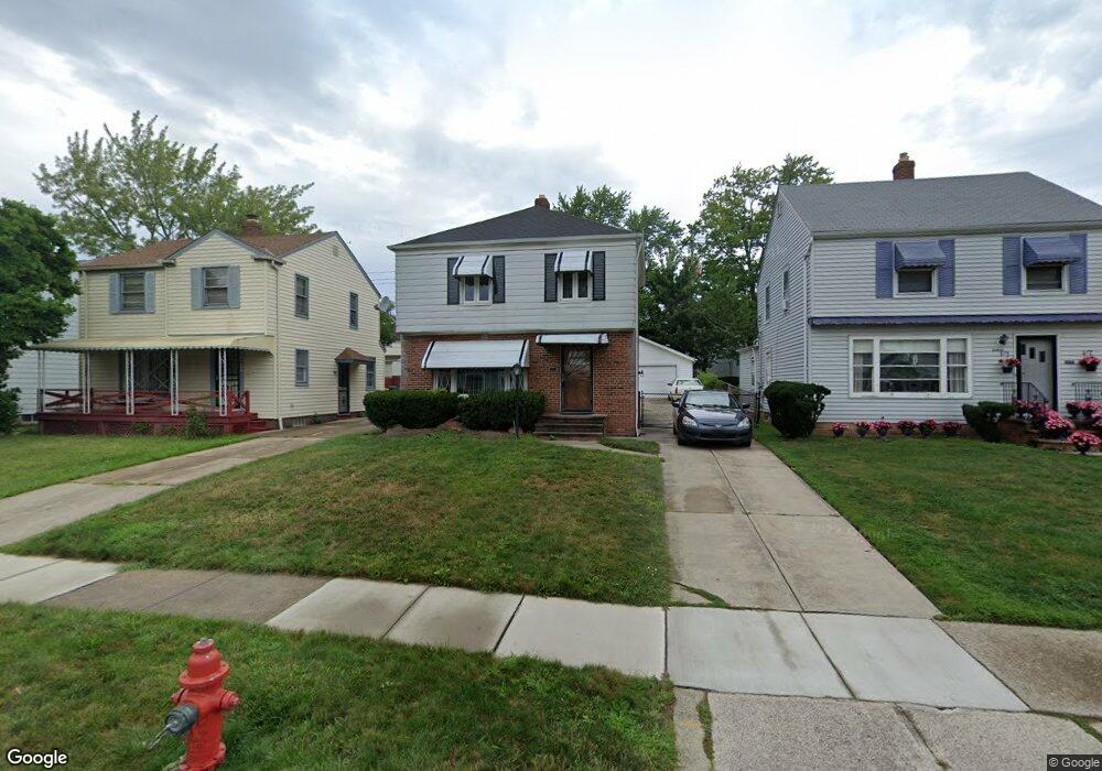
20719 Clare Ave Maple Heights, OH 44137
Estimated Value: $115,000 - $126,973
2
Beds
2
Baths
1,176
Sq Ft
$103/Sq Ft
Est. Value
About This Home
This home is located at 20719 Clare Ave, Maple Heights, OH 44137 and is currently estimated at $120,993, approximately $102 per square foot. 20719 Clare Ave is a home located in Cuyahoga County with nearby schools including Abraham Lincoln Elementary School, Rockside/ J.F. Kennedy School, and Barack Obama School.
Ownership History
Date
Name
Owned For
Owner Type
Purchase Details
Closed on
Sep 10, 2001
Sold by
Staten Kent A
Bought by
Staten Melinda
Current Estimated Value
Purchase Details
Closed on
Jun 25, 1987
Sold by
Quigley Vincent P
Bought by
Quigley Vincent P
Purchase Details
Closed on
Jun 9, 1981
Sold by
Piechowski Arthur J and M T
Bought by
Quigley Vincent P
Purchase Details
Closed on
Jan 1, 1975
Bought by
Piechowski Arthur J and M T
Create a Home Valuation Report for This Property
The Home Valuation Report is an in-depth analysis detailing your home's value as well as a comparison with similar homes in the area
Home Values in the Area
Average Home Value in this Area
Purchase History
| Date | Buyer | Sale Price | Title Company |
|---|---|---|---|
| Staten Melinda | -- | -- | |
| Quigley Vincent P | -- | -- | |
| Quigley Vincent P | $54,000 | -- | |
| Piechowski Arthur J | -- | -- |
Source: Public Records
Tax History
| Year | Tax Paid | Tax Assessment Tax Assessment Total Assessment is a certain percentage of the fair market value that is determined by local assessors to be the total taxable value of land and additions on the property. | Land | Improvement |
|---|---|---|---|---|
| 2024 | $4,025 | $36,330 | $6,720 | $29,610 |
| 2023 | $2,336 | $21,280 | $4,060 | $17,220 |
| 2022 | $2,328 | $21,280 | $4,060 | $17,220 |
| 2021 | $2,483 | $21,280 | $4,060 | $17,220 |
| 2020 | $2,124 | $16,140 | $3,080 | $13,060 |
| 2019 | $2,114 | $46,100 | $8,800 | $37,300 |
| 2018 | $1,977 | $16,140 | $3,080 | $13,060 |
| 2017 | $2,002 | $14,880 | $2,870 | $12,010 |
| 2016 | $1,937 | $14,880 | $2,870 | $12,010 |
| 2015 | $1,936 | $14,880 | $2,870 | $12,010 |
| 2014 | $1,936 | $16,350 | $3,150 | $13,200 |
Source: Public Records
Map
Nearby Homes
- 20806 Clare Ave
- 5147 Warrensville Center Rd
- 20517 Raymond St
- 21202 Hillgrove Ave
- 20600 Watson Rd
- 20715 Watson Rd
- 21207 Franklin Rd
- 20705 Hansen Rd
- 21202 Gardenview Dr
- 21600 Franklin Rd
- 19931 Raymond St
- 21607 Libby Rd
- 21860 Louis Rd
- 19520 Maple Heights Blvd
- 19289 Stafford Ave
- 5165 Camden Rd
- 5194 Homewood Ave
- 0 Miles Rd Unit 5188561
- 18851 Raymond St
- 20648 Donny Brook Rd
- 20803 Clare Ave
- 20715 Clare Ave
- 20807 Clare Ave
- 20711 Clare Ave
- 20811 Clare Ave
- 20716 Hillgrove Ave
- 20707 Clare Ave
- 20802 Hillgrove Ave
- 20712 Hillgrove Ave
- 20804 Hillgrove Ave
- 20708 Hillgrove Ave
- 20815 Clare Ave
- 20703 Clare Ave
- 20718 Clare Ave
- 20808 Hillgrove Ave
- 20706 Hillgrove Ave
- 20800 Clare Ave
- 20714 Clare Ave
- 20710 Clare Ave
- 20817 Clare Ave
Your Personal Tour Guide
Ask me questions while you tour the home.