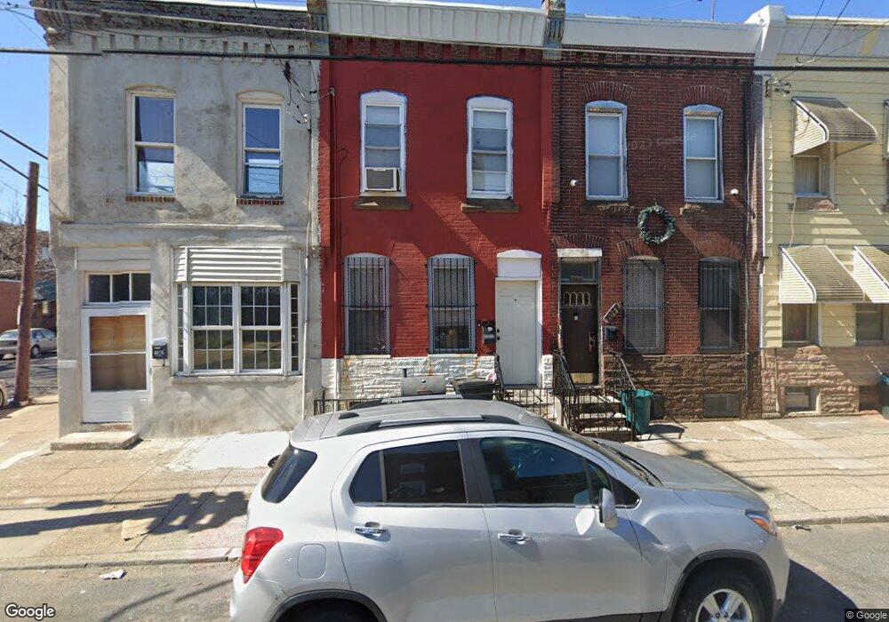
2072 E Ann St Philadelphia, PA 19134
Port Richmond NeighborhoodEstimated Value: $91,000 - $108,000
3
Beds
1
Bath
996
Sq Ft
$99/Sq Ft
Est. Value
About This Home
This home is located at 2072 E Ann St, Philadelphia, PA 19134 and is currently estimated at $98,821, approximately $99 per square foot. 2072 E Ann St is a home located in Philadelphia County with nearby schools including Frances E. Willard Elementary School, Kensington High School, and Kensington Health Sciences Academy.
Ownership History
Date
Name
Owned For
Owner Type
Purchase Details
Closed on
Dec 29, 2000
Sold by
Pennypacker Jean A
Bought by
Galloway David A
Current Estimated Value
Home Financials for this Owner
Home Financials are based on the most recent Mortgage that was taken out on this home.
Original Mortgage
$16,650
Interest Rate
7.69%
Purchase Details
Closed on
Nov 12, 1996
Sold by
Redevelopment Authority City Philadelphi
Bought by
Mlk Affordable Lp
Create a Home Valuation Report for This Property
The Home Valuation Report is an in-depth analysis detailing your home's value as well as a comparison with similar homes in the area
Home Values in the Area
Average Home Value in this Area
Purchase History
| Date | Buyer | Sale Price | Title Company |
|---|---|---|---|
| Galloway David A | $18,500 | -- | |
| Mlk Affordable Lp | -- | Lawyers Title Insurance Corp |
Source: Public Records
Mortgage History
| Date | Status | Borrower | Loan Amount |
|---|---|---|---|
| Closed | Galloway David A | $16,650 |
Source: Public Records
Tax History Compared to Growth
Tax History
| Year | Tax Paid | Tax Assessment Tax Assessment Total Assessment is a certain percentage of the fair market value that is determined by local assessors to be the total taxable value of land and additions on the property. | Land | Improvement |
|---|---|---|---|---|
| 2025 | $924 | $96,100 | $19,220 | $76,880 |
| 2024 | $924 | $96,100 | $19,220 | $76,880 |
| 2023 | $924 | $66,000 | $13,200 | $52,800 |
| 2022 | $924 | $66,000 | $13,200 | $52,800 |
| 2021 | $560 | $0 | $0 | $0 |
| 2020 | $560 | $0 | $0 | $0 |
| 2019 | $521 | $0 | $0 | $0 |
| 2018 | $521 | $0 | $0 | $0 |
| 2017 | $521 | $0 | $0 | $0 |
| 2016 | $3,635 | $0 | $0 | $0 |
| 2015 | $3,635 | $0 | $0 | $0 |
| 2014 | -- | $37,200 | $5,733 | $31,467 |
| 2012 | -- | $5,888 | $813 | $5,075 |
Source: Public Records
Map
Nearby Homes
- 2056 E Stella St
- 2963 Frankford Ave
- 2074 Bellmore Ave
- 2148 Bellmore St
- 2116 Bellmore St
- 2967 Amber St
- 2101 E Orleans St
- 2818 Amber St
- 2018-20 E Stella St
- 2105 E Elkhart St
- 3025 Frankford Ave
- 2124 E Stella St
- 2109 E Orleans St
- 3035 Coral St
- 2084 E Elkhart St
- 2117 Bellmore St
- 2074 E Birch St
- 2140 E Stella St
- 2129 E Orleans St
- 3053 Collins St
- 2074 E Ann St
- 2076 E Ann St
- 2070 E Ann St
- 2068 E Ann St
- 2075 E Stella St
- 2073 E Stella St
- 2066 E Ann St
- 2071 E Stella St
- 2077 E Stella St
- 2069 E Stella St
- 2064 E Ann St
- 2067 E Stella St
- 2100 E Ann St
- 2065 E Stella St
- 2062 E Ann St
- 2102 E Ann St
- 2063 E Stella St
- 2101 E Stella St
- 2060 E Ann St
- 2104 E Ann St