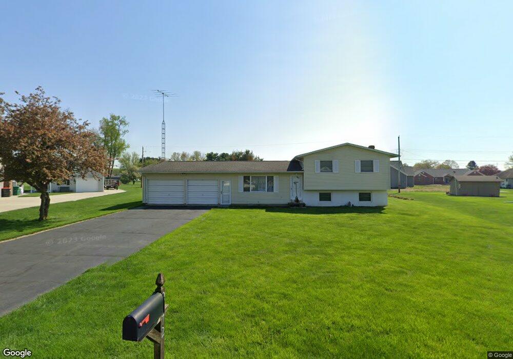
2072 Lorimer Dr Newark, OH 43055
Estimated Value: $289,000 - $325,000
3
Beds
2
Baths
1,682
Sq Ft
$183/Sq Ft
Est. Value
About This Home
This home is located at 2072 Lorimer Dr, Newark, OH 43055 and is currently estimated at $307,433, approximately $182 per square foot. 2072 Lorimer Dr is a home located in Licking County with nearby schools including Legend Elementary School, Liberty Middle School, and Newark High School.
Ownership History
Date
Name
Owned For
Owner Type
Purchase Details
Closed on
Sep 7, 2007
Sold by
Lieser Edward L and Lieser Beverly S
Bought by
Geiger Heath E
Current Estimated Value
Home Financials for this Owner
Home Financials are based on the most recent Mortgage that was taken out on this home.
Original Mortgage
$108,240
Outstanding Balance
$69,020
Interest Rate
6.71%
Mortgage Type
Purchase Money Mortgage
Estimated Equity
$238,413
Create a Home Valuation Report for This Property
The Home Valuation Report is an in-depth analysis detailing your home's value as well as a comparison with similar homes in the area
Home Values in the Area
Average Home Value in this Area
Purchase History
| Date | Buyer | Sale Price | Title Company |
|---|---|---|---|
| Geiger Heath E | $135,300 | Chicago |
Source: Public Records
Mortgage History
| Date | Status | Borrower | Loan Amount |
|---|---|---|---|
| Open | Geiger Heath E | $108,240 |
Source: Public Records
Tax History
| Year | Tax Paid | Tax Assessment Tax Assessment Total Assessment is a certain percentage of the fair market value that is determined by local assessors to be the total taxable value of land and additions on the property. | Land | Improvement |
|---|---|---|---|---|
| 2024 | $2,956 | $76,440 | $19,250 | $57,190 |
| 2023 | $3,005 | $76,440 | $19,250 | $57,190 |
| 2022 | $2,334 | $53,410 | $12,530 | $40,880 |
| 2021 | $2,443 | $53,410 | $12,530 | $40,880 |
| 2020 | $2,493 | $53,410 | $12,530 | $40,880 |
| 2019 | $2,137 | $43,690 | $9,630 | $34,060 |
| 2018 | $2,127 | $0 | $0 | $0 |
| 2017 | $2,044 | $0 | $0 | $0 |
| 2016 | $2,284 | $0 | $0 | $0 |
| 2015 | $2,329 | $0 | $0 | $0 |
| 2014 | $2,964 | $0 | $0 | $0 |
| 2013 | $2,216 | $0 | $0 | $0 |
Source: Public Records
Map
Nearby Homes
- 301 N Vernon Ave
- 1636 E Turkey Run Dr
- 342 W Hunters Dr
- 1954 Iselin St
- 1989 Iselin St
- 1517 S Hunters Dr
- 1956 Jamesburg St
- 1972 Jamesburg St
- 1964 Jamesburg St
- 1960 Jamesburg St
- 1984 Jamesburg St
- 1953 Iselin St Unit 150
- 1860 Churchill Downs Rd
- 1821 Mount Vernon Rd
- 152 Lincoln Dr
- 681 Woods Edge Ln
- 210 Dry Creek Rd
- 708 Olde Creek Dr
- 116 Dry Creek Rd
- 32 N Utah Ave
- 2068 Lorimer Dr
- 2076 Lorimer Dr
- 312 Gregory Dr
- 324 Gregory Dr
- 2080 Lorimer Dr NE
- 2071 Lorimer Dr
- 2080 Lorimer Dr
- 334 Gregory Dr
- 308 Gregory Dr
- 2064 Lorimer Dr
- 2090 Lorimer Dr NE
- 2090 Lorimer Dr
- 340 Gregory Dr
- 301 Gregory Dr
- 2084 Lorimer Dr
- 304 Gregory Dr
- 2061 Lorimer Dr
- 2060 Lorimer Dr
- 300 Brenton Dr
- 296 Gregory Dr
Your Personal Tour Guide
Ask me questions while you tour the home.