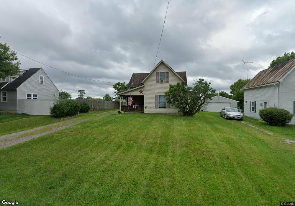
20723 State Route 47 West Mansfield, OH 43358
Estimated Value: $162,000 - $256,000
3
Beds
1
Bath
2,312
Sq Ft
$88/Sq Ft
Est. Value
About This Home
This home is located at 20723 State Route 47, West Mansfield, OH 43358 and is currently estimated at $202,631, approximately $87 per square foot. 20723 State Route 47 is a home located in Union County with nearby schools including North Union Elementary School, North Union Middle School, and North Union High School.
Ownership History
Date
Name
Owned For
Owner Type
Purchase Details
Closed on
Aug 4, 2008
Sold by
Us Bank Na
Bought by
Thompson Michael D
Current Estimated Value
Home Financials for this Owner
Home Financials are based on the most recent Mortgage that was taken out on this home.
Original Mortgage
$46,400
Outstanding Balance
$10,925
Interest Rate
6.39%
Mortgage Type
Purchase Money Mortgage
Estimated Equity
$191,706
Purchase Details
Closed on
Apr 15, 2008
Sold by
Ransome Troy M and Ransome Troy
Bought by
Us Bank Na and Home Equity Asset Trust 2006-3 Home Equi
Purchase Details
Closed on
May 7, 2001
Sold by
Moore Pamela A
Bought by
Ransome Troy
Create a Home Valuation Report for This Property
The Home Valuation Report is an in-depth analysis detailing your home's value as well as a comparison with similar homes in the area
Home Values in the Area
Average Home Value in this Area
Purchase History
| Date | Buyer | Sale Price | Title Company |
|---|---|---|---|
| Thompson Michael D | $58,000 | Sovereign Title Agency Llc | |
| Us Bank Na | $53,334 | None Available | |
| Ransome Troy | $9,000 | -- |
Source: Public Records
Mortgage History
| Date | Status | Borrower | Loan Amount |
|---|---|---|---|
| Open | Thompson Michael D | $46,400 |
Source: Public Records
Tax History Compared to Growth
Tax History
| Year | Tax Paid | Tax Assessment Tax Assessment Total Assessment is a certain percentage of the fair market value that is determined by local assessors to be the total taxable value of land and additions on the property. | Land | Improvement |
|---|---|---|---|---|
| 2024 | $2,367 | $55,410 | $5,810 | $49,600 |
| 2023 | $2,367 | $55,410 | $5,810 | $49,600 |
| 2022 | $2,370 | $55,410 | $5,810 | $49,600 |
| 2021 | $1,813 | $38,970 | $4,470 | $34,500 |
| 2020 | $1,754 | $38,970 | $4,470 | $34,500 |
| 2019 | $1,702 | $38,970 | $4,470 | $34,500 |
| 2018 | $824 | $18,590 | $3,580 | $15,010 |
| 2017 | $820 | $18,590 | $3,580 | $15,010 |
| 2016 | $830 | $18,590 | $3,580 | $15,010 |
| 2015 | $601 | $12,960 | $3,580 | $9,380 |
| 2014 | $579 | $12,960 | $3,580 | $9,380 |
| 2013 | $588 | $12,960 | $3,580 | $9,380 |
Source: Public Records
Map
Nearby Homes
- 28370 State Route 739
- 21800 State Route 47
- 25875 Ohio 31
- 19250 Powder Lick Rd
- 30650 State Route 739
- 18055 Miller Rd
- 31434 State Route 31
- 31535 State Route 31
- 23863 Drake Skidmore Rd
- 23750 Drake-Skidmore Rd
- 25400 Storms Rd
- 0 Ohio 31
- 32220 State Route 31
- 25883 Lunda Rd
- 0 Powder Lick Rd Unit 1016484
- 184 E Mann St
- 605 W Center St
- 21630 Main St
- 23156 State Route 739
- 24097 Lunda Rd
- 20713 State Route 47
- 20731 State Route 47
- 20723 Street
- 20703 State Route 47
- 20689 State Route 47
- 20710 State Route 739
- 20675 State Route 47
- 20680 State Route 47
- 20675 Ohio 47
- 20790 State Route 47
- 20665 State Route 47
- 20666 State Route 47
- 20655 State Route 47
- 20808 State Route 47
- 20642 State Route 47
- 20819 Ohio 47
- 20819 State Route 47
- 20632 State Route 47
- 20623 State Route 47