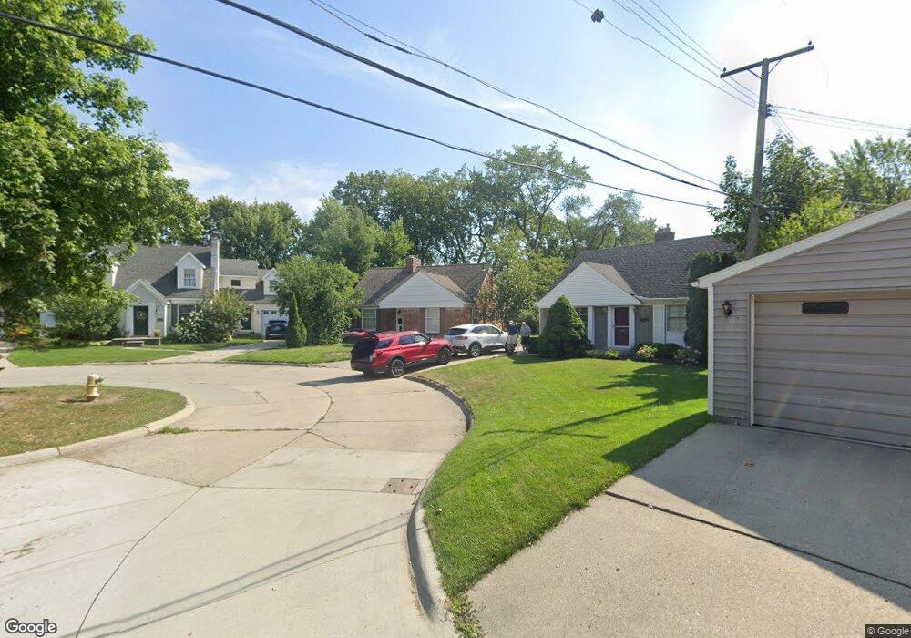
20728 Wicks Ln Unit Bldg-Unit Grosse Pointe Woods, MI 48236
Estimated Value: $299,000 - $373,000
3
Beds
2
Baths
1,230
Sq Ft
$267/Sq Ft
Est. Value
About This Home
This home is located at 20728 Wicks Ln Unit Bldg-Unit, Grosse Pointe Woods, MI 48236 and is currently estimated at $328,234, approximately $266 per square foot. 20728 Wicks Ln Unit Bldg-Unit is a home located in Wayne County with nearby schools including Stevens T. Mason Elementary School, Parcells Middle School, and Grosse Pointe North High School.
Ownership History
Date
Name
Owned For
Owner Type
Purchase Details
Closed on
Oct 18, 2018
Sold by
Glander Donn W
Bought by
Hutcherson Ashley R
Current Estimated Value
Home Financials for this Owner
Home Financials are based on the most recent Mortgage that was taken out on this home.
Original Mortgage
$198,850
Outstanding Balance
$173,778
Interest Rate
4.6%
Mortgage Type
New Conventional
Estimated Equity
$154,456
Create a Home Valuation Report for This Property
The Home Valuation Report is an in-depth analysis detailing your home's value as well as a comparison with similar homes in the area
Home Values in the Area
Average Home Value in this Area
Purchase History
| Date | Buyer | Sale Price | Title Company |
|---|---|---|---|
| Hutcherson Ashley R | $205,000 | None Available |
Source: Public Records
Mortgage History
| Date | Status | Borrower | Loan Amount |
|---|---|---|---|
| Open | Hutcherson Ashley R | $198,850 |
Source: Public Records
Tax History Compared to Growth
Tax History
| Year | Tax Paid | Tax Assessment Tax Assessment Total Assessment is a certain percentage of the fair market value that is determined by local assessors to be the total taxable value of land and additions on the property. | Land | Improvement |
|---|---|---|---|---|
| 2025 | $4,170 | $159,000 | $0 | $0 |
| 2024 | $4,170 | $147,700 | $0 | $0 |
| 2023 | $4,010 | $132,300 | $0 | $0 |
| 2022 | $6,280 | $123,500 | $0 | $0 |
| 2021 | $5,986 | $114,200 | $0 | $0 |
| 2020 | $6,164 | $110,000 | $0 | $0 |
| 2019 | $6,033 | $104,200 | $0 | $0 |
| 2018 | $2,409 | $99,600 | $0 | $0 |
| 2017 | $101 | $95,100 | $0 | $0 |
| 2016 | $3,816 | $87,200 | $0 | $0 |
| 2015 | $6,614 | $79,600 | $0 | $0 |
| 2013 | $6,500 | $66,300 | $0 | $0 |
| 2012 | -- | $68,000 | $19,200 | $48,800 |
Source: Public Records
Map
Nearby Homes
- 1374 Anita Ave
- 20740 Marter Rd
- 1463 Hollywood Ave
- 1158 Hawthorne Rd
- 1291 Roslyn Rd
- 1039 Hawthorne Rd
- 1000 Vernier Rd
- 1750 Vernier Rd Unit 6
- 1750 Vernier Rd Unit 22
- 1641 Hampton Rd
- 1381 Brys Dr
- 1528 Roslyn Rd
- 926 Lochmoor Place
- 1817 Hawthorne Rd
- 1552 Brys Dr
- 1768 Hampton Rd
- 1677 Brys Dr
- 20670 Vernier Cir
- 1793 Roslyn Rd
- 935 S Brys Dr
- 20728 Wicks Ln
- 20718 Wicks Ln
- 20738 Wicks Ln
- 20729 Toles Ln
- 1383 Anita Ave
- 20719 Toles Ln
- 1388 Vernier Rd
- 1396 Vernier Rd
- 1380 Vernier Rd
- 20739 Toles Ln
- 1391 Anita Ave
- 1399 Anita Ave
- 1400 Vernier Rd
- 1421 Anita Ave
- 1407 Anita Ave
- 1372 Vernier Rd
- 20739 Wicks Ln
- 1375 Anita Ave
- 1364 Vernier Rd
- 1367 Anita Ave