20729 Snag Island Dr E Lake Tapps, WA 98391
Estimated Value: $2,479,000 - $5,010,456
5
Beds
4
Baths
5,440
Sq Ft
$688/Sq Ft
Est. Value
About This Home
This home is located at 20729 Snag Island Dr E, Lake Tapps, WA 98391 and is currently estimated at $3,744,728, approximately $688 per square foot. 20729 Snag Island Dr E is a home located in Pierce County with nearby schools including Dieringer Heights Elementary School, Lake Tapps Elementary School, and North Tapps Middle School.
Ownership History
Date
Name
Owned For
Owner Type
Purchase Details
Closed on
Feb 10, 1999
Sold by
English David T
Bought by
Brandner Paul D and Brandner Kimberly S
Current Estimated Value
Home Financials for this Owner
Home Financials are based on the most recent Mortgage that was taken out on this home.
Original Mortgage
$379,250
Outstanding Balance
$88,843
Interest Rate
6.62%
Estimated Equity
$3,655,885
Create a Home Valuation Report for This Property
The Home Valuation Report is an in-depth analysis detailing your home's value as well as a comparison with similar homes in the area
Home Values in the Area
Average Home Value in this Area
Purchase History
| Date | Buyer | Sale Price | Title Company |
|---|---|---|---|
| Brandner Paul D | $679,250 | Transnation Title Insurance |
Source: Public Records
Mortgage History
| Date | Status | Borrower | Loan Amount |
|---|---|---|---|
| Open | Brandner Paul D | $379,250 |
Source: Public Records
Tax History Compared to Growth
Tax History
| Year | Tax Paid | Tax Assessment Tax Assessment Total Assessment is a certain percentage of the fair market value that is determined by local assessors to be the total taxable value of land and additions on the property. | Land | Improvement |
|---|---|---|---|---|
| 2025 | $30,881 | $3,670,400 | $1,707,900 | $1,962,500 |
| 2024 | $30,881 | $3,668,600 | $1,732,900 | $1,935,700 |
| 2023 | $30,881 | $3,092,800 | $1,658,700 | $1,434,100 |
| 2022 | $32,295 | $3,478,100 | $1,620,100 | $1,858,000 |
| 2021 | $30,039 | $2,292,700 | $1,070,400 | $1,222,300 |
| 2019 | $25,642 | $2,171,400 | $957,700 | $1,213,700 |
| 2018 | $22,577 | $2,002,300 | $871,300 | $1,131,000 |
| 2017 | $10,784 | $1,445,900 | $731,600 | $714,300 |
| 2016 | $14,811 | $962,800 | $552,000 | $410,800 |
| 2014 | $15,705 | $932,800 | $532,100 | $400,700 |
| 2013 | $15,705 | $900,500 | $518,800 | $381,700 |
Source: Public Records
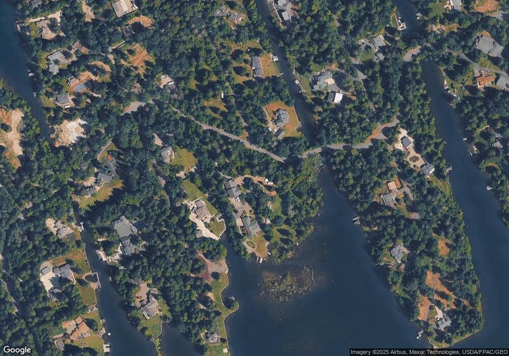
Map
Nearby Homes
- 21501 60th St E
- 4713 N Island Dr E
- 21305 62nd Street Ct E
- 20714 61st St E
- 6214 207th Ave E
- 5329 S Vista Dr E
- Plan 4062 at Cedar Estates
- Plan 4052 at Cedar Estates
- Plan 4070 at Cedar Estates
- Plan 4081 at Cedar Estates
- Plan 4072 at Cedar Estates
- Plan 4060 at Cedar Estates
- Plan 4050 at Cedar Estates
- Plan 4082 at Cedar Estates
- 6406 213th (Lot 2) Avenue Ct E
- 6414 213th (Lot 4) Avenue Ct E
- 20705 64th St E
- 6504 213th (Lot 6) Avenue Ct E
- 6598 Vandermark Rd E
- 6516 213th (Lot 8) Avenue Ct E
- 20720 Snag Island Dr
- 20725 Snag Island Dr
- 20716 Snag Island Dr
- 20717 Snag Island Dr E
- 20806 Snag Island Dr E
- 20713 Snag Island Dr
- 20714 Snag Island Dr
- 20814 Snag Island Dr
- 20710 Snag Island Dr E
- 20709 Snag Island Dr E
- 20818 Snag Island Dr E
- 20705 Snag Island Dr E
- 20810 60th St E
- 20812 60th St E
- 20806 60th St E
- 20814 60th St E
- 20804 60th St E
- 20816 60th St E
- 20818 60th St E
- 20802 60th St E