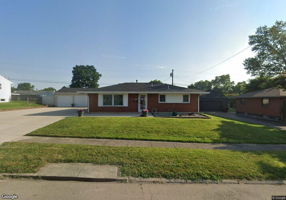
2073 Auburndale Ave Dayton, OH 45414
Northridge NeighborhoodEstimated Value: $91,000 - $134,000
3
Beds
1
Bath
1,025
Sq Ft
$112/Sq Ft
Est. Value
About This Home
This home is located at 2073 Auburndale Ave, Dayton, OH 45414 and is currently estimated at $115,038, approximately $112 per square foot. 2073 Auburndale Ave is a home located in Montgomery County with nearby schools including Northridge High School, Horizon Science Academy-Dayton Elementary School, and Horizon Science Academy Dayton High School.
Ownership History
Date
Name
Owned For
Owner Type
Purchase Details
Closed on
Sep 4, 2025
Sold by
Banks Trudy Ann
Bought by
Banks Trudy Ann and Banks Clyde
Current Estimated Value
Purchase Details
Closed on
Aug 12, 2025
Sold by
Ladd Patricia S
Bought by
Banks Trudy Ann
Purchase Details
Closed on
Jun 4, 2013
Sold by
Ladd Lucille K
Bought by
Ladd B Gary and Ladd Patricia S
Purchase Details
Closed on
Feb 2, 2008
Sold by
Harlow Don and Harlow Vonda
Bought by
Ladd Bill H and Ladd Lucille K
Purchase Details
Closed on
Jul 17, 2003
Sold by
Leota Fogle
Bought by
Ladd Bill H and Ladd Lucille K
Create a Home Valuation Report for This Property
The Home Valuation Report is an in-depth analysis detailing your home's value as well as a comparison with similar homes in the area
Home Values in the Area
Average Home Value in this Area
Purchase History
| Date | Buyer | Sale Price | Title Company |
|---|---|---|---|
| Banks Trudy Ann | -- | None Listed On Document | |
| Banks Trudy Ann | $61,800 | None Listed On Document | |
| Ladd B Gary | -- | None Available | |
| Ladd Bill H | -- | None Available | |
| Ladd Bill H | $27,100 | -- |
Source: Public Records
Tax History Compared to Growth
Tax History
| Year | Tax Paid | Tax Assessment Tax Assessment Total Assessment is a certain percentage of the fair market value that is determined by local assessors to be the total taxable value of land and additions on the property. | Land | Improvement |
|---|---|---|---|---|
| 2024 | $1,805 | $21,630 | $3,450 | $18,180 |
| 2023 | $1,805 | $21,630 | $3,450 | $18,180 |
| 2022 | $1,720 | $15,790 | $2,520 | $13,270 |
| 2021 | $1,699 | $15,790 | $2,520 | $13,270 |
| 2020 | $1,724 | $15,790 | $2,520 | $13,270 |
| 2019 | $1,710 | $14,010 | $2,800 | $11,210 |
| 2018 | $1,712 | $14,010 | $2,800 | $11,210 |
| 2017 | $1,704 | $14,010 | $2,800 | $11,210 |
| 2016 | $1,617 | $13,220 | $2,800 | $10,420 |
| 2015 | $1,399 | $13,220 | $2,800 | $10,420 |
| 2014 | $1,399 | $13,220 | $2,800 | $10,420 |
| 2012 | -- | $23,090 | $5,600 | $17,490 |
Source: Public Records
Map
Nearby Homes
- 2124 Lodell Ave
- 2059 Neff Rd
- 2417 Neff Rd
- 2320 Ottello Ave
- 2233 Ottello Ave
- 4400 Canyon Rd
- 3865 Hillmont Ave
- 2585 Coronette Ave
- 2424 Ottello Ave
- 1640 Pinecrest Dr
- 4404 Ross Ave
- 3394 Lodge Ave Unit 3384
- 2171 Argray Dr
- 2216 Rector Ave
- 2412 Neva Dr
- 32 Stafford Ave
- 2422 Oneida Ave
- 1742 Eric Dr
- 3815 Old Riverside Dr
- 1904 Edgeworth Ave
- 2095 Auburndale Ave
- 2061 Auburndale Ave
- 2164 Keenan Ave
- 2186 Keenan Ave
- 2154 Keenan Ave
- 2117 Auburndale Ave
- 2066 Auburndale Ave
- 2202 Keenan Ave
- 2144 Keenan Ave
- 2110 Auburndale Ave
- 3973 Westmont Place
- 3931 Sumpter Ave
- 2045 Auburndale Ave
- 3971 Sumpter Ave
- 3968 Westmont Place
- 2165 Keenan Ave
- 2140 Auburndale Ave
- 2155 Keenan Ave
- 2145 Keenan Ave
- 3959 Westmont Place