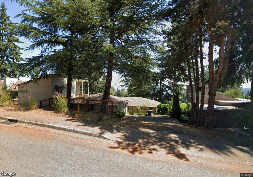
2073 W 29th Ave Eugene, OR 97405
Crest Drive NeighborhoodEstimated Value: $488,855 - $566,000
2
Beds
2
Baths
1,392
Sq Ft
$369/Sq Ft
Est. Value
About This Home
This home is located at 2073 W 29th Ave, Eugene, OR 97405 and is currently estimated at $514,214, approximately $369 per square foot. 2073 W 29th Ave is a home located in Lane County with nearby schools including Adams Elementary School, Arts And Technology Academy At Jefferson, and Churchill High School.
Ownership History
Date
Name
Owned For
Owner Type
Purchase Details
Closed on
Jun 13, 2016
Sold by
Walker Tony Mitchell and Walker Celia E
Bought by
Boorman Christopher Pk and Boorman Tyler
Current Estimated Value
Home Financials for this Owner
Home Financials are based on the most recent Mortgage that was taken out on this home.
Original Mortgage
$261,000
Outstanding Balance
$207,435
Interest Rate
3.61%
Mortgage Type
New Conventional
Estimated Equity
$306,779
Purchase Details
Closed on
Jun 25, 2013
Sold by
Hauser Henry Arthur
Bought by
Walker Tony Mitchell and Walker Celia E
Create a Home Valuation Report for This Property
The Home Valuation Report is an in-depth analysis detailing your home's value as well as a comparison with similar homes in the area
Home Values in the Area
Average Home Value in this Area
Purchase History
| Date | Buyer | Sale Price | Title Company |
|---|---|---|---|
| Boorman Christopher Pk | $290,000 | Western Title & Escrow | |
| Walker Tony Mitchell | $165,000 | Evergreen Land Title Company |
Source: Public Records
Mortgage History
| Date | Status | Borrower | Loan Amount |
|---|---|---|---|
| Open | Boorman Christopher Pk | $261,000 |
Source: Public Records
Tax History
| Year | Tax Paid | Tax Assessment Tax Assessment Total Assessment is a certain percentage of the fair market value that is determined by local assessors to be the total taxable value of land and additions on the property. | Land | Improvement |
|---|---|---|---|---|
| 2025 | $7,013 | $363,720 | -- | -- |
| 2024 | $6,998 | $353,127 | -- | -- |
| 2023 | $6,998 | $342,842 | $0 | $0 |
| 2022 | $6,548 | $332,857 | $0 | $0 |
| 2021 | $5,936 | $323,163 | $0 | $0 |
| 2020 | $5,872 | $313,751 | $0 | $0 |
| 2019 | $5,643 | $304,613 | $0 | $0 |
| 2018 | $4,502 | $249,496 | $0 | $0 |
| 2017 | $4,266 | $249,496 | $0 | $0 |
| 2016 | $4,150 | $242,229 | $0 | $0 |
| 2015 | $4,033 | $235,174 | $0 | $0 |
| 2014 | $3,802 | $220,188 | $0 | $0 |
Source: Public Records
Map
Nearby Homes
- 2850 Garfield St
- 2090 Graham Dr
- 2673 Garfield St
- 2037 Morning View Dr
- 2315 W 28th Ave
- 1778 Graham Dr
- 1783 Graham Dr
- 2565 Braewood Ln
- 2240 W 25th Place
- 0 Mclean Blvd Unit 24671448
- 0 Mclean Blvd Unit 697374759
- 2030 W 34th Ave
- 2430 Wilson Dr
- 2490 Panorama Dr
- 2765 Almaden St
- 2260 Orr Ln
- 2230 Cleveland St
- 2870 Hawkins Ln
- 2610 Park Forest Dr
- 0 Hallmark Ln
- 2083 W 29th Ave
- 2067 W 29th Ave
- 2084 W 28th Ave
- 2090 W 28th Ave
- 2060 W 28th Ave
- 2055 W 29th Ave
- 2097 W 29th Ave
- 2084 W 29th Ave
- 2070 Shields Ave
- 2110 W 28th Ave
- 2050 W 28th Ave
- 2094 W 29th Ave
- 2064 W 29th Ave
- 2080 Shields Ave
- 2035 W 29th Ave
- 2105 W 29th Ave
- 2050 W 29th Ave
- 2075 W 28th Ave
- 2128 W 28th Ave
- 2095 W 28th Ave
Your Personal Tour Guide
Ask me questions while you tour the home.