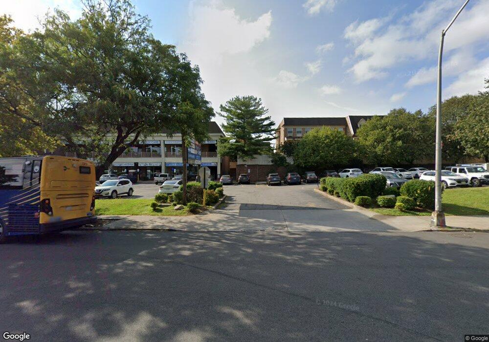
20730 Darren Dr Bayside, NY 11360
Bayside NeighborhoodEstimated Value: $587,650 - $664,000
Studio
--
Bath
700
Sq Ft
$911/Sq Ft
Est. Value
About This Home
This home is located at 20730 Darren Dr, Bayside, NY 11360 and is currently estimated at $637,913, approximately $911 per square foot. 20730 Darren Dr is a home located in Queens County with nearby schools including P.S. 209 - Clearview Gardens, J.H.S. 194 William Carr, and Bayside High School.
Ownership History
Date
Name
Owned For
Owner Type
Purchase Details
Closed on
Dec 22, 2011
Sold by
Rocafort Migdalia
Bought by
Ragone Marie
Current Estimated Value
Purchase Details
Closed on
Apr 28, 2006
Sold by
Lee Danny and Lee Julia
Bought by
Rocafort Migdalia
Home Financials for this Owner
Home Financials are based on the most recent Mortgage that was taken out on this home.
Original Mortgage
$295,500
Interest Rate
6.4%
Mortgage Type
Purchase Money Mortgage
Create a Home Valuation Report for This Property
The Home Valuation Report is an in-depth analysis detailing your home's value as well as a comparison with similar homes in the area
Home Values in the Area
Average Home Value in this Area
Purchase History
| Date | Buyer | Sale Price | Title Company |
|---|---|---|---|
| Ragone Marie | $360,000 | -- | |
| Rocafort Migdalia | $394,000 | -- |
Source: Public Records
Mortgage History
| Date | Status | Borrower | Loan Amount |
|---|---|---|---|
| Previous Owner | Rocafort Migdalia | $295,500 |
Source: Public Records
Tax History
| Year | Tax Paid | Tax Assessment Tax Assessment Total Assessment is a certain percentage of the fair market value that is determined by local assessors to be the total taxable value of land and additions on the property. | Land | Improvement |
|---|---|---|---|---|
| 2025 | $1,785 | $25,572 | $2,054 | $23,518 |
| 2024 | $1,890 | $25,378 | $2,231 | $23,147 |
| 2023 | $1,772 | $23,942 | $1,816 | $22,126 |
| 2022 | $1,596 | $30,705 | $2,499 | $28,206 |
| 2021 | $1,583 | $27,516 | $2,499 | $25,017 |
| 2020 | $1,596 | $27,575 | $2,499 | $25,076 |
| 2019 | $1,553 | $27,995 | $2,499 | $25,496 |
| 2018 | $1,375 | $19,952 | $1,778 | $18,174 |
| 2017 | $1,272 | $18,823 | $1,713 | $17,110 |
| 2016 | $1,154 | $18,823 | $1,713 | $17,110 |
| 2015 | $2,142 | $17,758 | $2,129 | $15,629 |
| 2014 | $2,142 | $17,624 | $2,093 | $15,531 |
Source: Public Records
Map
Nearby Homes
- 12-32 Diane Place Unit 204L
- 12-29 Estates Ln
- 1229 Estates Ln Unit TRIPLEX
- 20617 Lori Dr Unit 1166
- 13-25 Estates Ln Unit 3F
- 20701 Estates Dr Unit 2nd FL - Unit 146M
- 12-31 Robin Ln Unit Triplex
- 13-31 209th St
- 208-08 Estates Dr Unit 22125
- 14-14 Bonnie Ln
- 13-16 212th St Unit Upper
- 12-06 Robin Ln Unit 1028
- 1324 Robin Ln Unit 1195
- 207-22 Jordan Dr Unit 93 U
- 210 E 15th St Unit 2D
- 210 E 15th St Unit 9L
- 210 E 15th St Unit 5H
- 1423 209th St
- 13-61 212th St Unit 2
- 208-18 15th Rd
- 20730 Darren Dr Unit 212B
- 20730 Darren Dr
- 207-30 Darren Dr Unit 212U
- 207-30 Darren Dr Unit 2 fl
- 20732 Darren Dr
- 20732 Darren Dr
- 20732 Darren Dr
- 207-32 Darren Dr Unit 213M
- 20728 Darren Dr Unit 2112
- 20728 Darren Dr
- 20728 Darren Dr
- 20734 Darren Dr Unit 214A
- 20734 Darren Dr
- 20734 Darren Dr
- 20725 Melissa Ct
- 20725 Melissa Ct
- 20725 Melissa Ct
- 207-25 Melissa Ct Unit 210L
- 20723 Melissa Ct
- 20723 Melissa Ct
Your Personal Tour Guide
Ask me questions while you tour the home.