20737 N Dixie Hwy Bowling Green, OH 43402
Estimated Value: $316,000 - $428,481
3
Beds
2
Baths
2,328
Sq Ft
$162/Sq Ft
Est. Value
About This Home
This home is located at 20737 N Dixie Hwy, Bowling Green, OH 43402 and is currently estimated at $376,370, approximately $161 per square foot. 20737 N Dixie Hwy is a home located in Wood County with nearby schools including Otsego Elementary School, Otsego Junior High School, and Otsego High School.
Ownership History
Date
Name
Owned For
Owner Type
Purchase Details
Closed on
Jul 10, 2000
Sold by
Mccleary Stephen and Nalls Anne
Bought by
Roehrs Michael S and Roehrs Joanne M
Current Estimated Value
Home Financials for this Owner
Home Financials are based on the most recent Mortgage that was taken out on this home.
Original Mortgage
$113,000
Outstanding Balance
$41,608
Interest Rate
8.64%
Estimated Equity
$334,762
Purchase Details
Closed on
May 27, 1993
Sold by
Deffenbaugh William D
Bought by
Deffenbaugh William D
Create a Home Valuation Report for This Property
The Home Valuation Report is an in-depth analysis detailing your home's value as well as a comparison with similar homes in the area
Home Values in the Area
Average Home Value in this Area
Purchase History
| Date | Buyer | Sale Price | Title Company |
|---|---|---|---|
| Roehrs Michael S | $183,000 | Louisville Title Agency For | |
| Deffenbaugh William D | -- | -- |
Source: Public Records
Mortgage History
| Date | Status | Borrower | Loan Amount |
|---|---|---|---|
| Open | Roehrs Michael S | $113,000 |
Source: Public Records
Tax History Compared to Growth
Tax History
| Year | Tax Paid | Tax Assessment Tax Assessment Total Assessment is a certain percentage of the fair market value that is determined by local assessors to be the total taxable value of land and additions on the property. | Land | Improvement |
|---|---|---|---|---|
| 2024 | $4,017 | $97,930 | $30,450 | $67,480 |
| 2023 | $4,017 | $97,930 | $30,450 | $67,480 |
| 2021 | $3,495 | $78,160 | $23,210 | $54,950 |
| 2020 | $3,512 | $78,160 | $23,210 | $54,950 |
| 2019 | $3,124 | $67,520 | $21,350 | $46,170 |
| 2018 | $3,132 | $67,520 | $21,350 | $46,170 |
| 2017 | $3,064 | $67,520 | $21,350 | $46,170 |
| 2016 | $2,681 | $59,580 | $17,540 | $42,040 |
| 2015 | $2,681 | $59,580 | $17,540 | $42,040 |
| 2014 | $2,766 | $59,580 | $17,540 | $42,040 |
| 2013 | $3,025 | $59,580 | $17,540 | $42,040 |
Source: Public Records
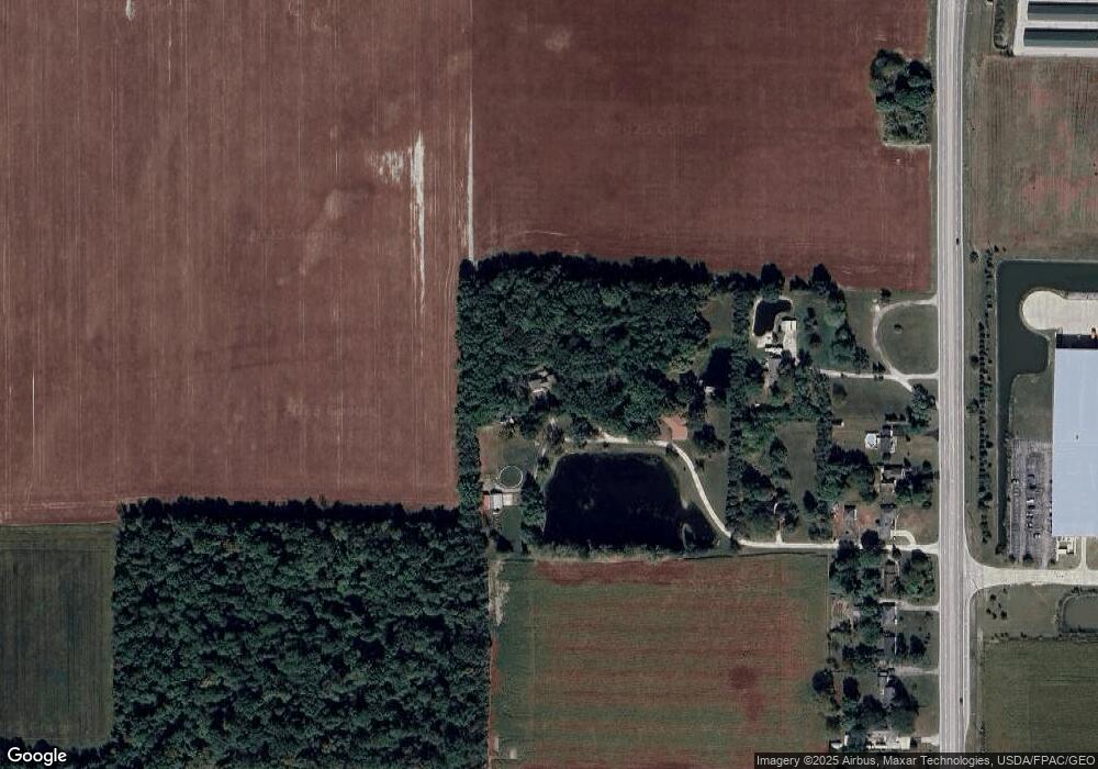
Map
Nearby Homes
- 19877 N Dixie Hwy
- 0 King Rd Unit 10000333
- 11232 Elm St
- 0 Elm St
- 0 Sugar Ridge
- 11628 Sugar Ridge Rd
- 104 E Main St
- 109 High St
- 1810 Wicklow Dr
- 1723 Wexford
- Canterbury Plan at Northwest Ohio Collection
- 24557 W 3rd St
- 24537 W 3rd St
- Limerick Plan at Northwest Ohio Collection
- Oleander Plan at Northwest Ohio Collection
- Barcelona Plan at Northwest Ohio Collection
- 24577 W 3rd St
- Goldenrod Plan at Northwest Ohio Collection
- 19537 Liberty Hi Rd
- 4911 Prestonwood Rd
- 20719 N Dixie Hwy
- 20755 N Dixie Hwy
- 20691 N Dixie Hwy
- 20765 N Dixie Hwy
- 20667 N Dixie Hwy
- 20619 N Dixie Hwy
- 13451 Middleton Pike
- 20601 N Dixie Hwy
- 20575 N Dixie Hwy
- 20541 N Dixie Hwy
- 20531 N Dixie Hwy
- 20672 N Dixie Hwy
- 20503 N Dixie Hwy
- 13212 Middleton Pike
- 13244 Middleton Pike
- 20997 N Dixie Hwy
- 20390 N Dixie Hwy
- 20945 Midstar Dr
- 13090 Middleton Pike
- 20301 N Dixie Hwy