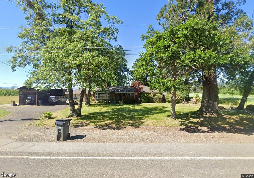
2074 Houston Rd Phoenix, OR 97535
Estimated Value: $566,000 - $706,000
2
Beds
2
Baths
1,948
Sq Ft
$323/Sq Ft
Est. Value
About This Home
This home is located at 2074 Houston Rd, Phoenix, OR 97535 and is currently estimated at $629,901, approximately $323 per square foot. 2074 Houston Rd is a home located in Jackson County with nearby schools including Phoenix Elementary School, Talent Middle School, and Phoenix High School.
Ownership History
Date
Name
Owned For
Owner Type
Purchase Details
Closed on
Jan 20, 2026
Sold by
Bohn Jeffrey M and Bohn Susan J
Bought by
Bohn Jeffrey M and Bohn Susan J
Current Estimated Value
Purchase Details
Closed on
May 23, 2014
Sold by
Bohn Jeffrey M
Bought by
Bohn Jeffrey M and Bohn Susan J
Home Financials for this Owner
Home Financials are based on the most recent Mortgage that was taken out on this home.
Original Mortgage
$280,000
Interest Rate
4.23%
Mortgage Type
New Conventional
Purchase Details
Closed on
Jan 31, 2008
Sold by
Anderson Lester Robert
Bought by
Anderson Richard and Anderson Donald
Purchase Details
Closed on
Nov 19, 2002
Sold by
Brohaugh James D
Bought by
Bohn Jeffrey
Home Financials for this Owner
Home Financials are based on the most recent Mortgage that was taken out on this home.
Original Mortgage
$272,700
Interest Rate
5.89%
Create a Home Valuation Report for This Property
The Home Valuation Report is an in-depth analysis detailing your home's value as well as a comparison with similar homes in the area
Purchase History
| Date | Buyer | Sale Price | Title Company |
|---|---|---|---|
| Bohn Jeffrey M | -- | None Listed On Document | |
| Bohn Jeffrey M | -- | Ticor Title Company Oregon | |
| Anderson Richard | -- | None Available | |
| Bohn Jeffrey | $303,000 | Key Title Company |
Source: Public Records
Mortgage History
| Date | Status | Borrower | Loan Amount |
|---|---|---|---|
| Previous Owner | Bohn Jeffrey M | $280,000 | |
| Previous Owner | Bohn Jeffrey | $272,700 |
Source: Public Records
Tax History
| Year | Tax Paid | Tax Assessment Tax Assessment Total Assessment is a certain percentage of the fair market value that is determined by local assessors to be the total taxable value of land and additions on the property. | Land | Improvement |
|---|---|---|---|---|
| 2026 | $3,397 | $214,171 | -- | -- |
| 2025 | $3,324 | $281,299 | $40,299 | $241,000 |
| 2024 | $3,324 | $273,224 | $39,244 | $233,980 |
| 2023 | $3,219 | $265,384 | $38,214 | $227,170 |
| 2022 | $3,138 | $265,384 | $38,214 | $227,170 |
| 2021 | $3,070 | $257,780 | $37,220 | $220,560 |
| 2020 | $2,972 | $250,362 | $36,972 | $213,390 |
| 2019 | $2,897 | $236,252 | $34,402 | $201,850 |
| 2018 | $2,813 | $220,940 | $32,830 | $188,110 |
| 2017 | $2,633 | $220,940 | $32,830 | $188,110 |
| 2016 | $2,487 | $209,941 | $30,231 | $179,710 |
| 2015 | $2,153 | $180,971 | $28,001 | $152,970 |
| 2014 | -- | $187,660 | $27,880 | $159,780 |
Source: Public Records
Map
Nearby Homes
- 921 N Rose St Unit A
- 130 Rhonda Ln
- 3985 Calhoun Rd
- 316 W 3rd St
- 3966 S Pacific Hwy Unit 81
- 4074 S Pacific Hwy Unit 10
- 301 N Church St
- 612 N Main St
- 610 N Main St Unit 5A
- 113 Skyler Ln
- 600 N Main St
- 510 N Main St
- 4069 S Pacific Hwy Unit 108
- 4069 S Pacific Hwy Unit 42
- 4069 S Pacific Hwy Unit 103
- 130 Sharon Dr
- 160 Northridge Terrace Unit 6
- 268 Oak Crest Way
- 3459 S Pacific Hwy
- 93 Northridge Terrace Unit 44
- 2070 Houston Rd
- 3530 Calhoun Rd
- 2110 Houston Rd
- 2075 Houston Rd
- 1902 Houston Rd
- 1975 Houston Rd
- 2130 Houston Rd
- 3550 Calhoun Rd
- 2135 Houston Rd
- 3570 Calhoun Rd
- 2194 Houston Rd
- 0 Houston Rd Tl#200 Unit 102925417
- 2153 Houston Rd
- 2198 Houston Rd
- 3580 Calhoun Rd
- 2300 Houston Rd
- 3590 Calhoun Rd
- 2266 Houston Rd
- 1865 Houston Rd
- 2221 Houston Rd
Your Personal Tour Guide
Ask me questions while you tour the home.