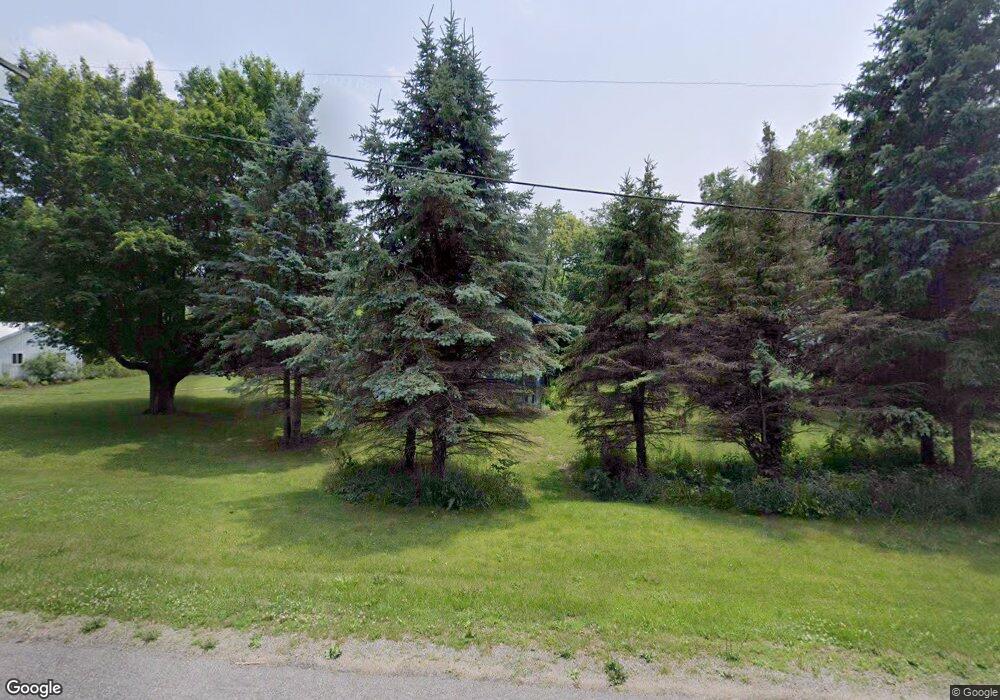
2074 Olive Branch Rd Galien, MI 49113
Estimated Value: $226,000 - $855,000
3
Beds
1
Bath
1,554
Sq Ft
$320/Sq Ft
Est. Value
About This Home
This home is located at 2074 Olive Branch Rd, Galien, MI 49113 and is currently estimated at $497,547, approximately $320 per square foot. 2074 Olive Branch Rd is a home located in Berrien County with nearby schools including River Valley Middle/High School and Lutie High School.
Ownership History
Date
Name
Owned For
Owner Type
Purchase Details
Closed on
Aug 29, 2014
Sold by
O Donnell Holdings 1 Llc
Bought by
Slaboh Michael A and Duff Penny
Current Estimated Value
Purchase Details
Closed on
Apr 12, 2007
Sold by
Odonnell Carie
Bought by
Odonnell Holdings I Llc
Purchase Details
Closed on
Sep 21, 2005
Sold by
Freyer Craig A
Bought by
Odonnell Carie
Home Financials for this Owner
Home Financials are based on the most recent Mortgage that was taken out on this home.
Original Mortgage
$58,500
Interest Rate
6.08%
Mortgage Type
Fannie Mae Freddie Mac
Purchase Details
Closed on
Mar 24, 2005
Sold by
Freyer Craig A
Bought by
Chase Manhattan Mortgage Corp
Purchase Details
Closed on
Apr 27, 1998
Purchase Details
Closed on
Oct 31, 1980
Purchase Details
Closed on
Oct 30, 1980
Create a Home Valuation Report for This Property
The Home Valuation Report is an in-depth analysis detailing your home's value as well as a comparison with similar homes in the area
Home Values in the Area
Average Home Value in this Area
Purchase History
| Date | Buyer | Sale Price | Title Company |
|---|---|---|---|
| Slaboh Michael A | -- | Meridian Title Corp | |
| Odonnell Holdings I Llc | -- | None Available | |
| Odonnell Carie | -- | -- | |
| Chase Manhattan Mortgage Corp | $59,925 | -- | |
| -- | -- | -- | |
| -- | $36,900 | -- | |
| -- | $36,900 | -- |
Source: Public Records
Mortgage History
| Date | Status | Borrower | Loan Amount |
|---|---|---|---|
| Previous Owner | Odonnell Carie | $58,500 |
Source: Public Records
Tax History Compared to Growth
Tax History
| Year | Tax Paid | Tax Assessment Tax Assessment Total Assessment is a certain percentage of the fair market value that is determined by local assessors to be the total taxable value of land and additions on the property. | Land | Improvement |
|---|---|---|---|---|
| 2025 | $1,998 | $163,300 | $0 | $0 |
| 2024 | $917 | $133,400 | $0 | $0 |
| 2023 | $873 | $115,400 | $0 | $0 |
| 2022 | $832 | $103,500 | $0 | $0 |
| 2021 | $1,613 | $91,900 | $5,800 | $86,100 |
| 2020 | $1,593 | $87,200 | $0 | $0 |
| 2019 | $1,553 | $69,500 | $5,500 | $64,000 |
| 2018 | $1,296 | $69,500 | $0 | $0 |
| 2017 | $1,276 | $69,889 | $0 | $0 |
| 2016 | $968 | $51,104 | $0 | $0 |
| 2015 | $135 | $5,631 | $0 | $0 |
| 2014 | $50 | $5,630 | $0 | $0 |
Source: Public Records
Map
Nearby Homes
- 19196 Cleveland Ave
- 33260 State Line Rd
- 2046 US Highway 12
- Lot 5 Railroad St
- 122 N Cleveland Ave
- 0 Mount Zion Rd
- 301 N Grant St
- 6475 Olive Branch Rd
- 311 George St
- 0 Trail Unit 202444357
- 4318 Olive Branch Rd
- 8679 E 850 N
- 32670 Chicago Trail
- 8101 N Laporte Blvd
- 7838 N Walker Rd
- 6484 E 1000 N
- 6105 Burrus Rd
- 0 Us 12 W
- 0 E Pansy Ln
- 55330 Timothy Rd
- 2107 Olive Branch Rd
- 2050 Olive Branch Rd
- 2015 Olive Branch Rd
- 2228 Olive Branch Rd
- 2131 Olive Branch Rd
- 1979 Olive Branch Rd
- 1922 Olive Branch Rd
- 2209 Olive Branch Rd
- 1923 Olive Branch Rd
- 0 Cleveland Ave
- 2261 Olive Branch Rd
- 19406 Cleveland Ave
- 19422 Cleveland Ave
- 19436 Cleveland Ave
- 2310 Olive Branch Rd
- 2310 W Olive Branch Rd
- 19110 Cleveland Ave
- 2354 Olive Branch Rd
- 19465 Cleveland Ave
- 19554 Cleveland Ave
