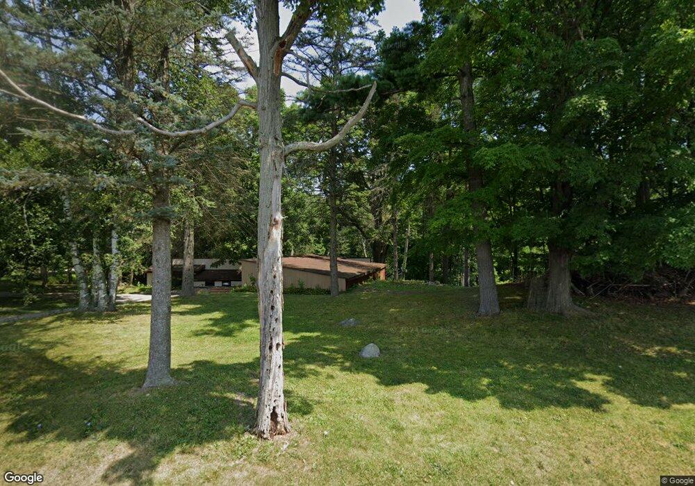
20740 14 Mile Rd Big Rapids, MI 49307
Estimated Value: $269,000 - $364,000
4
Beds
2
Baths
2,615
Sq Ft
$121/Sq Ft
Est. Value
About This Home
This home is located at 20740 14 Mile Rd, Big Rapids, MI 49307 and is currently estimated at $317,421, approximately $121 per square foot. 20740 14 Mile Rd is a home located in Mecosta County with nearby schools including Big Rapids High School, Crossroads Charter Academy Elementary School, and Crossroads Charter Academy Middle/High School.
Ownership History
Date
Name
Owned For
Owner Type
Purchase Details
Closed on
Feb 13, 2012
Sold by
Mallett Gordon L and Mallett Janet K
Bought by
Mallett Edward and Mallett Adriana
Current Estimated Value
Purchase Details
Closed on
Nov 18, 2011
Sold by
Buckingham Marilyn and Buckingham William J
Bought by
Mallett Gordon
Home Financials for this Owner
Home Financials are based on the most recent Mortgage that was taken out on this home.
Original Mortgage
$81,600
Outstanding Balance
$54,913
Interest Rate
3.75%
Mortgage Type
New Conventional
Estimated Equity
$262,508
Create a Home Valuation Report for This Property
The Home Valuation Report is an in-depth analysis detailing your home's value as well as a comparison with similar homes in the area
Home Values in the Area
Average Home Value in this Area
Purchase History
| Date | Buyer | Sale Price | Title Company |
|---|---|---|---|
| Mallett Edward | $20,000 | None Available | |
| Mallett Gordon | -- | Corporate Title Agency |
Source: Public Records
Mortgage History
| Date | Status | Borrower | Loan Amount |
|---|---|---|---|
| Open | Mallett Gordon | $81,600 |
Source: Public Records
Tax History Compared to Growth
Tax History
| Year | Tax Paid | Tax Assessment Tax Assessment Total Assessment is a certain percentage of the fair market value that is determined by local assessors to be the total taxable value of land and additions on the property. | Land | Improvement |
|---|---|---|---|---|
| 2025 | $2,270 | $110,400 | $0 | $0 |
| 2024 | -- | $102,700 | $0 | $0 |
| 2023 | -- | $87,100 | $0 | $0 |
| 2022 | $0 | $76,600 | $0 | $0 |
| 2021 | -- | $70,900 | $0 | $0 |
| 2020 | -- | -- | $0 | $0 |
| 2019 | -- | -- | $0 | $0 |
| 2018 | -- | -- | $0 | $0 |
| 2017 | -- | -- | $0 | $0 |
| 2016 | -- | -- | $0 | $0 |
| 2014 | -- | -- | $0 | $0 |
| 2013 | -- | -- | $0 | $0 |
Source: Public Records
Map
Nearby Homes
- 20535 Edgewood Dr
- 20425 Thornapple Ln
- Lot 3 University Club Dr
- Lot 4 University Club Dr
- Lot 10 University Club Dr
- Lot 6 University Club Dr
- Lot 7 University Club Dr
- Lot 8 University Club Dr
- Lot 9 University Club Dr
- Unit 2 University Club Dr
- 13421 Woodland Ct
- 19400 14 Mile Rd
- Lot 15 Executive Dr
- Lot 14 Executive Dr
- Lot 11 Executive Dr
- 19665 13 Mile Rd
- 19308 Seneca Ave
- 14168 Trillium Ln
- 19223 Fox Glove Cir
- 628 Hutchinson St
- 20680 14 Mile Rd
- 20820 14 Mile Rd
- 20630 14 Mile Rd
- 14011 205th Ave
- 14095 205th Ave
- 14145 205th Ave
- 14105 205th Ave
- 14121 205th Ave
- 14000 205th Ave
- 20971 14 Mile Rd
- 13921 205th Ave
- 14200 Oakhollow Dr
- 14190 Oakhollow Dr
- 14180 Oakhollow Dr
- 14160 Oakhollow Dr
- 14180 Oak Hollow Dr
- 20615 14 Mile Rd
- 20641 14 Mile Rd
- 20473 Glenwood Dr
- 10725 14 Mile Rd