20740 Cedar Creek Baptist Church Rd Mount Vernon, AL 36560
Estimated Value: $98,000
2
Beds
2
Baths
1,980
Sq Ft
$49/Sq Ft
Est. Value
About This Home
This home is located at 20740 Cedar Creek Baptist Church Rd, Mount Vernon, AL 36560 and is currently estimated at $98,000, approximately $49 per square foot. 20740 Cedar Creek Baptist Church Rd is a home located in Mobile County with nearby schools including Calcedeaver Elementary School, Lott Middle School, and Citronelle High School.
Ownership History
Date
Name
Owned For
Owner Type
Purchase Details
Closed on
Oct 11, 2022
Sold by
Weaver Hollie S
Bought by
Tuttram Troy Edward
Current Estimated Value
Purchase Details
Closed on
Feb 5, 2021
Sold by
Weaver Charles N
Bought by
Weaver Hillie S
Purchase Details
Closed on
Mar 9, 2016
Sold by
Fannie Mae
Bought by
Weaver Charles N and Weaver Hollie S
Purchase Details
Closed on
Jul 9, 2015
Sold by
Jackson Callie B
Bought by
Nationstar Mortgage Llc
Create a Home Valuation Report for This Property
The Home Valuation Report is an in-depth analysis detailing your home's value as well as a comparison with similar homes in the area
Home Values in the Area
Average Home Value in this Area
Purchase History
| Date | Buyer | Sale Price | Title Company |
|---|---|---|---|
| Tuttram Troy Edward | $5,500 | None Listed On Document | |
| Weaver Hillie S | $7,000 | None Listed On Document | |
| Weaver Charles N | $38,000 | None Available | |
| Nationstar Mortgage Llc | $6,166,979 | None Available |
Source: Public Records
Tax History Compared to Growth
Tax History
| Year | Tax Paid | Tax Assessment Tax Assessment Total Assessment is a certain percentage of the fair market value that is determined by local assessors to be the total taxable value of land and additions on the property. | Land | Improvement |
|---|---|---|---|---|
| 2024 | $335 | $6,500 | $6,220 | $280 |
| 2023 | $288 | $5,940 | $5,740 | $200 |
| 2022 | $504 | $11,770 | $2,780 | $8,990 |
| 2021 | $477 | $11,210 | $1,540 | $9,670 |
| 2020 | $477 | $11,210 | $1,540 | $9,670 |
| 2019 | $413 | $9,890 | $1,540 | $8,350 |
| 2018 | $413 | $9,900 | $0 | $0 |
| 2017 | $982 | $20,240 | $0 | $0 |
| 2016 | $1,005 | $20,720 | $0 | $0 |
| 2013 | -- | $10,140 | $0 | $0 |
Source: Public Records
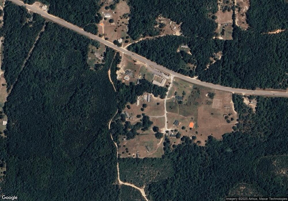
Map
Nearby Homes
- 4423 W Coy Smith Hwy
- 5608 Sam Lewis Rd
- 0 Lofton Dr
- 0 Shepard House Rd
- 831 Pully Rd
- 41AC Red Fox Rd E
- 0 John Johnston Rd
- 950 Red Fox Rd W
- 16535 Broad Branch Rd
- 7355 Irwin St
- 0 Tommie Ln
- 0 Coy Smith Hwy Unit 7497361
- 0 Coy Smith Hwy Unit 7130082
- 0 Highway 43 Unit 7517131
- 0000 Highway 43
- 0 U S 43
- 20100 U S 43
- 0 Road St Unit 7531981
- 18075 Movico Loop Rd E
- 21955 Highway 43
- 20740 Cedar Creek Baptist Church Rd
- 20665 Cedar Crk Bp Ch Rd
- 20676 Cedar Creek Baptist Church Rd
- 20675 Cedar Creek Baptist Church Rd
- 3427 W Coy Smith Hwy
- 3427 W Coy Smith Hwy
- 3325 W Coy Smith Hwy
- 3276 W Coy Smith Hwy
- 3465 W Coy Smith Hwy
- 3575 W Coy Smith Hwy
- 3575 W Coy Smith Hwy
- 3427 W Coy Smith Hwy
- 3577 Coy Smith Hwy
- 3458 W Coy Smith Hwy
- 20651 Maxwell Byrd Rd
- 3625 W Coy Smith Hwy
- 3620 W Coy Smith Hwy
- 3679 W Coy Smith Hwy
- 20745 Maxwell Byrd Rd
- 3660 W Coy Smith Hwy