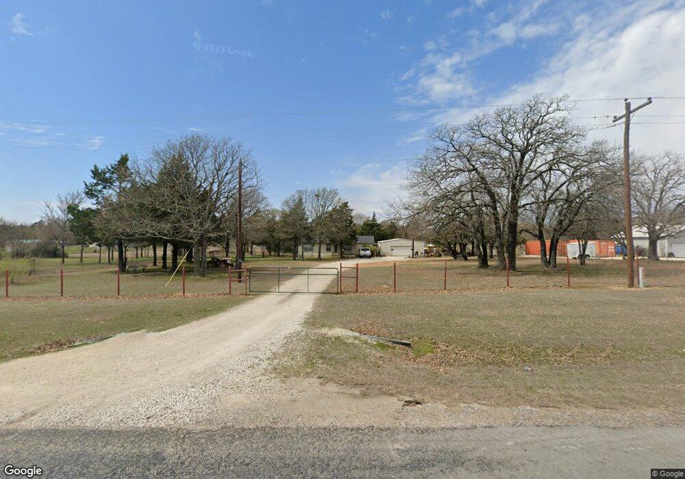
20745 Fm 678 Whitesboro, TX 76273
Estimated Value: $343,826 - $850,000
2
Beds
2
Baths
2,200
Sq Ft
$230/Sq Ft
Est. Value
About This Home
This home is located at 20745 Fm 678, Whitesboro, TX 76273 and is currently estimated at $506,457, approximately $230 per square foot. 20745 Fm 678 is a home located in Cooke County with nearby schools including Callisburg Elementary School, Callisburg Middle School, and Callisburg High School.
Ownership History
Date
Name
Owned For
Owner Type
Purchase Details
Closed on
Mar 14, 2012
Sold by
Baugus Madelyn Faye and Baugus Olen
Bought by
Perkins Clint and Swanson Shannon
Current Estimated Value
Home Financials for this Owner
Home Financials are based on the most recent Mortgage that was taken out on this home.
Original Mortgage
$119,000
Outstanding Balance
$85,450
Interest Rate
5%
Mortgage Type
Adjustable Rate Mortgage/ARM
Estimated Equity
$421,007
Create a Home Valuation Report for This Property
The Home Valuation Report is an in-depth analysis detailing your home's value as well as a comparison with similar homes in the area
Home Values in the Area
Average Home Value in this Area
Purchase History
| Date | Buyer | Sale Price | Title Company |
|---|---|---|---|
| Perkins Clint | -- | Gainesville Title Co Inc |
Source: Public Records
Mortgage History
| Date | Status | Borrower | Loan Amount |
|---|---|---|---|
| Open | Perkins Clint | $119,000 |
Source: Public Records
Tax History Compared to Growth
Tax History
| Year | Tax Paid | Tax Assessment Tax Assessment Total Assessment is a certain percentage of the fair market value that is determined by local assessors to be the total taxable value of land and additions on the property. | Land | Improvement |
|---|---|---|---|---|
| 2025 | $1,897 | $229,948 | $130,252 | $158,880 |
| 2024 | $1,897 | $289,250 | $130,252 | $158,998 |
| 2023 | $2,261 | $177,110 | $127,163 | $136,313 |
| 2022 | $2,388 | $271,285 | $123,888 | $147,397 |
| 2021 | $2,677 | $190,629 | $84,719 | $105,910 |
| 2020 | $2,593 | $184,640 | $81,783 | $102,857 |
| 2019 | $2,357 | $127,803 | $46,525 | $81,278 |
| 2018 | $2,154 | $121,404 | $46,525 | $74,879 |
| 2017 | $1,977 | $99,974 | $30,256 | $69,718 |
| 2015 | $1,897 | $98,790 | $30,256 | $68,534 |
| 2014 | $1,897 | $98,474 | $30,256 | $68,218 |
Source: Public Records
Map
Nearby Homes
- TBD8 County Road 141
- TBD1 County Rd 116
- 239 County Road 118
- TBD Annahill
- 247 County Road 156
- TBD Old Sherman Rd
- 0 Sandusky Rd Unit 18837132
- 0 Sandusky Rd Unit 18837131
- TBD Frank Wood Rd
- TBD Sandusky Rd
- 0 Sandusky Rd Unit 18837133
- 0 Sandusky Rd Unit 18837128
- TBD Davis Rd
- TBD Bar Brock Trail
- 1619 County Rd 156
- 210 County Road 1264
- 130 County Road 1264
- 5848 Sandusky Rd
- 000 Farm To Market Road 2383
- 0 Tbd County Road 113