20749 Hog Island Rd Preston, MD 21655
--
Bed
--
Bath
--
Sq Ft
114.6
Acres
About This Home
This home is located at 20749 Hog Island Rd, Preston, MD 21655. 20749 Hog Island Rd is a home located in Caroline County with nearby schools including Preston Elementary School, Colonel Richardson Middle School, and Colonel Richardson High School.
Ownership History
Date
Name
Owned For
Owner Type
Purchase Details
Closed on
Feb 26, 1990
Sold by
Quidas Donald A and Quidas Harvin H
Bought by
North Wales Partnership
Home Financials for this Owner
Home Financials are based on the most recent Mortgage that was taken out on this home.
Original Mortgage
$134,400
Interest Rate
10.31%
Purchase Details
Closed on
Jul 14, 1976
Sold by
Wright James Orland
Bought by
Quidas Donald A and Quidas Harvin H
Home Financials for this Owner
Home Financials are based on the most recent Mortgage that was taken out on this home.
Original Mortgage
$159,000
Interest Rate
8.93%
Create a Home Valuation Report for This Property
The Home Valuation Report is an in-depth analysis detailing your home's value as well as a comparison with similar homes in the area
Home Values in the Area
Average Home Value in this Area
Purchase History
| Date | Buyer | Sale Price | Title Company |
|---|---|---|---|
| North Wales Partnership | $160,500 | -- | |
| Quidas Donald A | $161,500 | -- |
Source: Public Records
Mortgage History
| Date | Status | Borrower | Loan Amount |
|---|---|---|---|
| Closed | North Wales Partnership | $134,400 | |
| Previous Owner | Quidas Donald A | $159,000 |
Source: Public Records
Tax History Compared to Growth
Tax History
| Year | Tax Paid | Tax Assessment Tax Assessment Total Assessment is a certain percentage of the fair market value that is determined by local assessors to be the total taxable value of land and additions on the property. | Land | Improvement |
|---|---|---|---|---|
| 2025 | $1,168 | $102,967 | $0 | $0 |
| 2024 | $1,168 | $101,433 | $0 | $0 |
| 2023 | $1,091 | $99,900 | $86,200 | $13,700 |
| 2022 | $1,147 | $99,567 | $0 | $0 |
| 2021 | $1,140 | $99,233 | $0 | $0 |
| 2020 | $1,140 | $98,900 | $86,200 | $12,700 |
| 2019 | $1,140 | $98,900 | $86,200 | $12,700 |
| 2018 | $1,140 | $98,900 | $86,200 | $12,700 |
| 2017 | $1,140 | $98,900 | $0 | $0 |
| 2016 | -- | $98,900 | $0 | $0 |
| 2015 | $1,120 | $98,900 | $0 | $0 |
| 2014 | $1,120 | $100,400 | $0 | $0 |
Source: Public Records
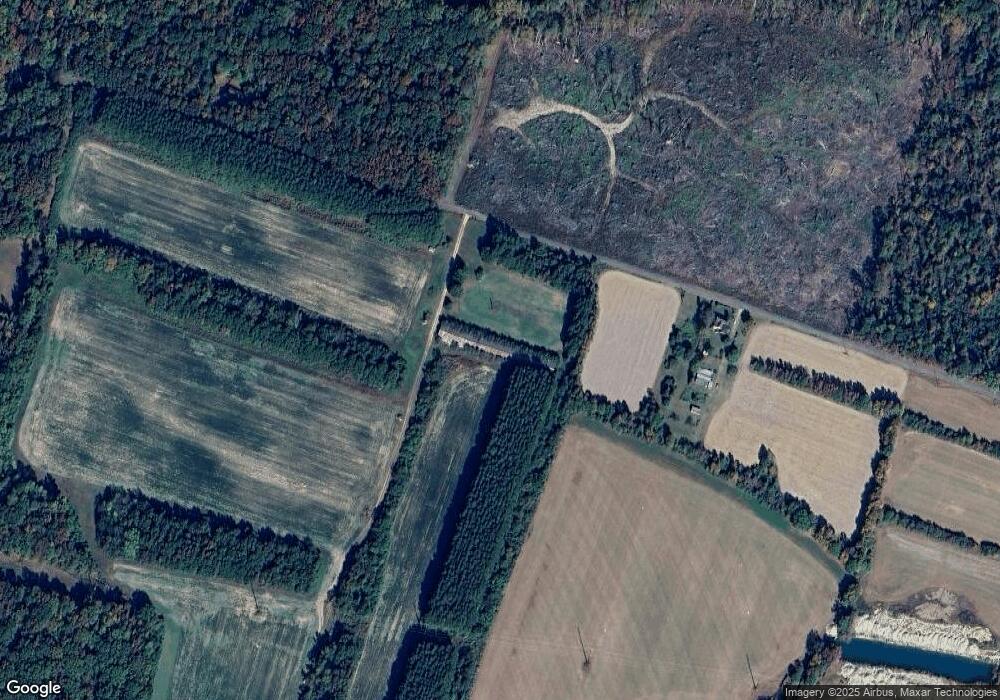
Map
Nearby Homes
- 21084 Marsh Creek Rd
- 21090 Marsh Creek Rd
- 0 Dover Bridge Rd Unit MDCM2005586
- 21245 Tanyard Rd
- Parcel 210 Dover Bridge Rd
- 21682 Dover Bridge Rd
- 21405 Tanyard Rd
- 0 Boston Cliff Rd
- 29862 Paddock Ln
- 22403 Marsh Creek Rd
- 7371 Michael Ave
- 7374 Michael Ave
- 29830 Hillary Ave
- 29768 Hillary Ave
- 7400 Michael Ave
- 29744 Dustin Ave
- 29678 Sullivan Dr
- 29770 Lyons Dr
- 29676 Janets Way
- 7389 Karen Ave
- 20833 Hog Island Rd
- 20981 Hog Island Rd
- 0 Hog Island Rd
- 4258 Charles Ln
- 20894 Tanyard Estates Dr
- 20870 Tanyard Estates Dr
- 20908 Tanyard Estates Dr
- 20869 Tanyard Estates Dr
- 4244 Charles Ln
- 20626 Hog Island Rd
- 4253 Charles Ln
- 4368 Frazier Neck Rd
- 20867 Tanyard Estates Dr
- 20905 Tanyard Estates Dr
- 20877 Tanyard Estates Dr
- 20948 Tanyard Estates Dr
- 4290 Frazier Neck Rd
- 20931 Tanyard Estates Dr
- 4252 Frazier Neck Rd
- 20972 Tanyard Estates Dr