2075 10th Ave W Baldwin, WI 54002
Estimated Value: $382,000
Studio
--
Bath
--
Sq Ft
20
Acres
About This Home
This home is located at 2075 10th Ave W, Baldwin, WI 54002 and is currently priced at $382,000. 2075 10th Ave W is a home located in St. Croix County with nearby schools including Greenfield Elementary School, Viking Middle School, and Baldwin-Woodville High School.
Ownership History
Date
Name
Owned For
Owner Type
Purchase Details
Closed on
Nov 28, 2012
Sold by
Gilbert Gordon J and Gilbert Rory L
Bought by
Timmers Michael and Timmers Dana L
Current Estimated Value
Home Financials for this Owner
Home Financials are based on the most recent Mortgage that was taken out on this home.
Original Mortgage
$81,180
Interest Rate
3.35%
Mortgage Type
Purchase Money Mortgage
Create a Home Valuation Report for This Property
The Home Valuation Report is an in-depth analysis detailing your home's value as well as a comparison with similar homes in the area
Purchase History
| Date | Buyer | Sale Price | Title Company |
|---|---|---|---|
| Timmers Michael | $77,100 | None Available |
Source: Public Records
Mortgage History
| Date | Status | Borrower | Loan Amount |
|---|---|---|---|
| Closed | Timmers Michael | $81,180 |
Source: Public Records
Tax History
| Year | Tax Paid | Tax Assessment Tax Assessment Total Assessment is a certain percentage of the fair market value that is determined by local assessors to be the total taxable value of land and additions on the property. | Land | Improvement |
|---|---|---|---|---|
| 2024 | $23 | $224,700 | $19,200 | $205,500 |
| 2023 | $2,115 | $224,600 | $19,100 | $205,500 |
| 2022 | $2,215 | $224,700 | $19,200 | $205,500 |
| 2021 | $2,186 | $243,400 | $19,100 | $224,300 |
| 2020 | $2,068 | $159,500 | $13,500 | $146,000 |
| 2019 | $121 | $159,800 | $13,800 | $146,000 |
| 2018 | $2,110 | $159,700 | $13,700 | $146,000 |
| 2017 | $2,263 | $159,700 | $13,700 | $146,000 |
| 2016 | $2,263 | $159,600 | $13,600 | $146,000 |
| 2015 | $2,282 | $159,600 | $13,600 | $146,000 |
| 2014 | $2,289 | $192,300 | $12,300 | $180,000 |
| 2013 | $2,417 | $192,300 | $12,300 | $180,000 |
Source: Public Records
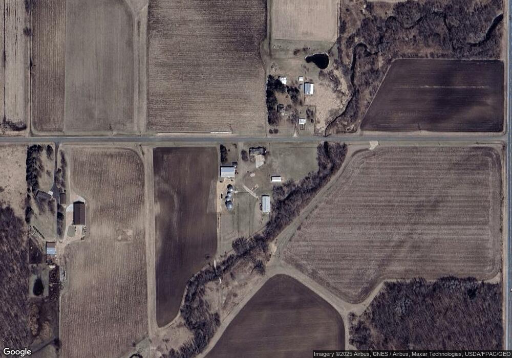
Map
Nearby Homes
- W5415 890th Ave
- 1985 County Road J
- LOT 1 County Road T
- W5373 801st Ave
- 342 County Road T
- N7838 535th St
- XXX 650th St
- 2081 60th Ave
- 2447 50th Ave
- 1710 Amsterdam St
- 1550 Dutch Heritage Ln
- 330 Meadowview Ct
- 300 Cedar St Unit 15
- 384 Cedar St
- 1724 Redhead Ave
- xxx 11th Ave
- 316 Birch St
- 288 Birch St
- 313 Birch St
- 1586 Mallard Ave
- 2076 10th Ave W
- 2053 10th Ave W
- 2053 10th Ave W
- 2053 10th Ave W
- 123 Us Highway 63
- 93 Us Highway 63
- 85 Us Highway 63
- 131 Us Highway 63
- 2058 County Road Yy
- 2084 County Road Yy
- 137 Us Highway 63
- 2122 5th Ave
- 2121 5th Ave
- 148 Us Highway 63
- 2083 County Road Yy
- 2039 County Road Yy
- 149 Us Highway 63
- 149 Us Highway 63
- 2014 10th Avenue Ave
- 2014/2015 10th Avenue Ave
Your Personal Tour Guide
Ask me questions while you tour the home.