Estimated Value: $793,000 - $1,414,877
4
Beds
3
Baths
4,424
Sq Ft
$254/Sq Ft
Est. Value
About This Home
This home is located at 2075 High Meadow N Unit 52, Niles, MI 49120 and is currently estimated at $1,122,469, approximately $253 per square foot. 2075 High Meadow N Unit 52 is a home located in Berrien County with nearby schools including Merritt Elementary School, Brandywine Elementary School, and Lavina Junior High School.
Ownership History
Date
Name
Owned For
Owner Type
Purchase Details
Closed on
Dec 1, 2015
Sold by
Filchak George C and Filchak Margaret A
Bought by
Thomas Angela R
Current Estimated Value
Home Financials for this Owner
Home Financials are based on the most recent Mortgage that was taken out on this home.
Original Mortgage
$2,100,000
Interest Rate
3.88%
Mortgage Type
Unknown
Purchase Details
Closed on
Apr 6, 2007
Sold by
Stonecreek Llc
Bought by
Filchak George C and Filchak Margaret A
Create a Home Valuation Report for This Property
The Home Valuation Report is an in-depth analysis detailing your home's value as well as a comparison with similar homes in the area
Home Values in the Area
Average Home Value in this Area
Purchase History
| Date | Buyer | Sale Price | Title Company |
|---|---|---|---|
| Thomas Angela R | $67,000 | None Available | |
| Filchak George C | $85,000 | Metropolitan Title In Llc |
Source: Public Records
Mortgage History
| Date | Status | Borrower | Loan Amount |
|---|---|---|---|
| Closed | Thomas Angela R | $2,100,000 | |
| Closed | Thomas Angela R | $41,200 |
Source: Public Records
Tax History Compared to Growth
Tax History
| Year | Tax Paid | Tax Assessment Tax Assessment Total Assessment is a certain percentage of the fair market value that is determined by local assessors to be the total taxable value of land and additions on the property. | Land | Improvement |
|---|---|---|---|---|
| 2025 | $16,548 | $578,400 | $0 | $0 |
| 2024 | $5,116 | $560,900 | $0 | $0 |
| 2023 | $4,873 | $493,900 | $0 | $0 |
| 2022 | $4,641 | $413,600 | $0 | $0 |
| 2021 | $13,903 | $381,400 | $45,000 | $336,400 |
| 2020 | $13,799 | $386,200 | $0 | $0 |
| 2019 | $13,543 | $317,900 | $40,000 | $277,900 |
| 2018 | $5,062 | $317,900 | $0 | $0 |
| 2017 | $1,430 | $33,000 | $0 | $0 |
| 2016 | $1,403 | $33,000 | $0 | $0 |
| 2015 | $1,255 | $30,200 | $0 | $0 |
| 2014 | $382 | $35,500 | $0 | $0 |
Source: Public Records
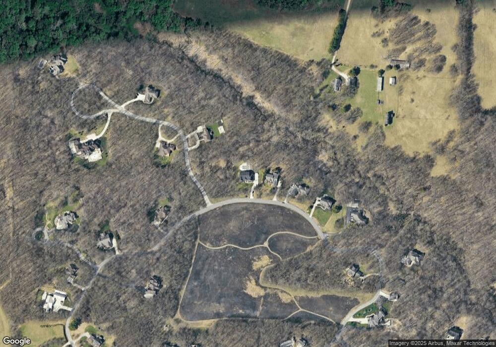
Map
Nearby Homes
- 1860 High Meadow N
- 2080 High Meadow S
- 1560 Stonecreek Dr Unit 14
- 22153 Northwood Hills Blvd
- 2710 Weaver Rd
- 21540 Ravenna Dr
- Lot 4 Persimmon Dr Unit 4
- 1650 Whitetail Cir
- 1680 River Bend Blvd
- 1670 River Bend Blvd
- 1640 Forest St
- 1610 Whitetail Cir
- 50931 Birch Dr Unit 1 & 2
- 50931 Birch Dr Unit 2
- 21533 Golden Maple Ct
- Lot 1 Forest Lake Trail Unit 1
- 21380 Kroft Dr
- 51041 Grapevine Ct
- 50961 Forest Lake Trail
- 50632 K Jay Ln
- 2075 High Meadow N
- 2035 High Meadow N
- 1870 Pokagon Pass Unit 69
- 1995 High Meadow N
- 1995 High Meadow N Unit 54
- 1955 High Meadow N
- 1910 Pokagon Pass Unit 70
- 2115 High Meadow N Unit 51
- 2195 High Meadow N Unit 49
- 2195 High Meadow N
- 1945 Pokagon Pass Unit 77
- 1950 Pokagon Pass
- 1950 Pokagon Pass
- 1915 High Meadow N
- 1915 High Meadow N Unit 56A
- 1860 High Meadow N
- 2240 High Meadow S
- 2275 High Meadow N Unit 47
- 2275 High Meadow N
- 1985 Pokagon Pass Unit 76