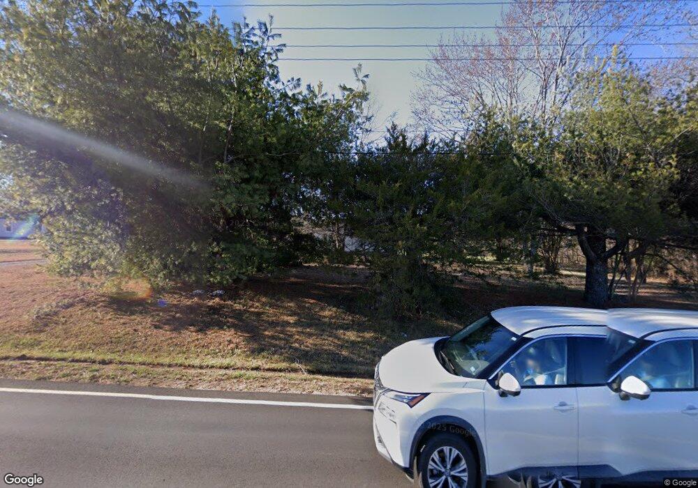
Estimated Value: $194,000 - $296,000
--
Bed
--
Bath
1,024
Sq Ft
$228/Sq Ft
Est. Value
About This Home
This home is located at 2075 Lincoln Rd, York, SC 29745 and is currently estimated at $233,446, approximately $227 per square foot. 2075 Lincoln Rd is a home with nearby schools including Harold C. Johnson Elementary School, York Intermediate School, and York Middle School.
Ownership History
Date
Name
Owned For
Owner Type
Purchase Details
Closed on
Jun 26, 2015
Sold by
Byrd James W
Bought by
Dean John E
Current Estimated Value
Home Financials for this Owner
Home Financials are based on the most recent Mortgage that was taken out on this home.
Original Mortgage
$299,900
Outstanding Balance
$234,334
Interest Rate
3.92%
Mortgage Type
Construction
Estimated Equity
-$888
Purchase Details
Closed on
Sep 25, 2014
Sold by
Estate Of Peggy Stowe Byrd
Bought by
Byrd James W
Create a Home Valuation Report for This Property
The Home Valuation Report is an in-depth analysis detailing your home's value as well as a comparison with similar homes in the area
Home Values in the Area
Average Home Value in this Area
Purchase History
| Date | Buyer | Sale Price | Title Company |
|---|---|---|---|
| Dean John E | $299,900 | -- | |
| Byrd James W | -- | -- |
Source: Public Records
Mortgage History
| Date | Status | Borrower | Loan Amount |
|---|---|---|---|
| Open | Dean John E | $299,900 |
Source: Public Records
Tax History Compared to Growth
Tax History
| Year | Tax Paid | Tax Assessment Tax Assessment Total Assessment is a certain percentage of the fair market value that is determined by local assessors to be the total taxable value of land and additions on the property. | Land | Improvement |
|---|---|---|---|---|
| 2024 | $1,688 | $3,933 | $1,704 | $2,229 |
| 2023 | $1,666 | $3,933 | $1,704 | $2,229 |
| 2022 | $1,602 | $3,933 | $1,704 | $2,229 |
| 2021 | -- | $3,933 | $1,704 | $2,229 |
| 2020 | $1,556 | $3,933 | $0 | $0 |
| 2019 | $1,408 | $3,420 | $0 | $0 |
| 2018 | $1,360 | $3,420 | $0 | $0 |
| 2017 | $1,307 | $3,420 | $0 | $0 |
| 2016 | $1,283 | $3,420 | $0 | $0 |
| 2014 | $1,220 | $3,420 | $1,440 | $1,980 |
| 2013 | $1,220 | $3,540 | $1,440 | $2,100 |
Source: Public Records
Map
Nearby Homes
- 151 Stafford Dr
- 0.53 Jim McCarter Rd
- 2881 Jim McCarter Rd S
- 2300 Southbend Rd
- 2430 Dr Nichols Rd
- 2060 Berrywood Ln
- 1730 Charlotte Hwy
- 2199 Brightwood Dr
- 1804 Tom Joye Rd
- 903 Little Brook Cir
- 1055 Saddle Dr
- 8045 Smooth Stone Ct
- 1647 Davis Farm Rd
- 5253 Star Magnolia Ct
- 738 Rocky Hollow Trail
- 197 Ormand Rd
- 2140 Redstone Dr
- 2120 Redstone Dr
- 5212 Star Magnolia Ct
- 812 Acclaim Dr
- 2061 Lincoln Rd
- 2020 Lincoln Rd
- 2133 Lincoln Rd
- 2016 Lincoln Rd
- 2013 Lincoln Rd
- 143 Stafford Dr
- 2168 Lincoln Rd
- 1988 Lincoln Rd
- 139 Stafford Dr
- 2005 Lincoln Rd
- 147 Stafford Dr
- 155 Stafford Dr
- 159 Stafford Dr
- 131 Stafford Dr
- 2219 Jim McCarter Rd S
- 1966 Lincoln Rd
- 1971 Lincoln Rd
- 127 Stafford Dr
- 123 Stafford Dr
- 1954 Lincoln Rd
