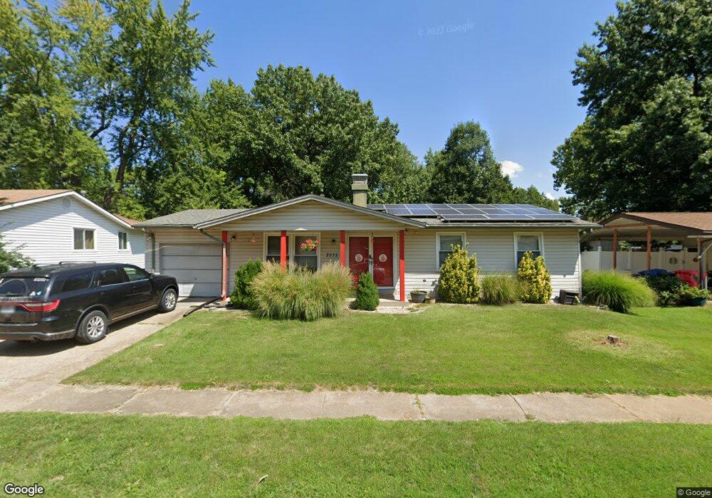
2075 Lindsay Ln Florissant, MO 63031
Estimated Value: $191,000 - $201,383
3
Beds
3
Baths
1,134
Sq Ft
$172/Sq Ft
Est. Value
About This Home
This home is located at 2075 Lindsay Ln, Florissant, MO 63031 and is currently estimated at $194,596, approximately $171 per square foot. 2075 Lindsay Ln is a home located in St. Louis County with nearby schools including Lusher Elementary School, Northwest Middle School, and Hazelwood West High School.
Ownership History
Date
Name
Owned For
Owner Type
Purchase Details
Closed on
Dec 30, 2008
Sold by
Pracht Kenneth A and Pracht Tracy J
Bought by
Jablonski Joseph B
Current Estimated Value
Home Financials for this Owner
Home Financials are based on the most recent Mortgage that was taken out on this home.
Original Mortgage
$120,421
Outstanding Balance
$79,347
Interest Rate
5.99%
Mortgage Type
FHA
Estimated Equity
$115,249
Purchase Details
Closed on
Jun 1, 2001
Sold by
Pracht Kenneth A and Pracht Tracy J
Bought by
Pracht Kenneth A and Pracht Tracy A
Home Financials for this Owner
Home Financials are based on the most recent Mortgage that was taken out on this home.
Original Mortgage
$64,000
Interest Rate
7.1%
Create a Home Valuation Report for This Property
The Home Valuation Report is an in-depth analysis detailing your home's value as well as a comparison with similar homes in the area
Home Values in the Area
Average Home Value in this Area
Purchase History
| Date | Buyer | Sale Price | Title Company |
|---|---|---|---|
| Jablonski Joseph B | $122,000 | None Available | |
| Pracht Kenneth A | -- | -- |
Source: Public Records
Mortgage History
| Date | Status | Borrower | Loan Amount |
|---|---|---|---|
| Open | Jablonski Joseph B | $120,421 | |
| Previous Owner | Pracht Kenneth A | $64,000 |
Source: Public Records
Tax History Compared to Growth
Tax History
| Year | Tax Paid | Tax Assessment Tax Assessment Total Assessment is a certain percentage of the fair market value that is determined by local assessors to be the total taxable value of land and additions on the property. | Land | Improvement |
|---|---|---|---|---|
| 2025 | $2,834 | $33,800 | $6,990 | $26,810 |
| 2024 | $2,834 | $31,750 | $3,520 | $28,230 |
| 2023 | $2,830 | $31,750 | $3,520 | $28,230 |
| 2022 | $2,518 | $25,160 | $4,560 | $20,600 |
| 2021 | $2,452 | $25,160 | $4,560 | $20,600 |
| 2020 | $2,247 | $21,640 | $4,560 | $17,080 |
| 2019 | $2,213 | $21,640 | $4,560 | $17,080 |
| 2018 | $2,208 | $19,860 | $2,570 | $17,290 |
| 2017 | $2,205 | $19,860 | $2,570 | $17,290 |
| 2016 | $1,895 | $16,800 | $2,570 | $14,230 |
| 2015 | $1,855 | $16,800 | $2,570 | $14,230 |
| 2014 | $2,017 | $18,850 | $4,010 | $14,840 |
Source: Public Records
Map
Nearby Homes
- 25 Francisca Dr
- 2165 Jenkee Dr
- 1405 Miller Dr
- 200 Francisca Dr
- 2128 Friendship Ct
- 1270 Bobolink Dr
- 660 Herbst Dr
- 2484 Blue Heron Dr
- 2 Belmont at River Bluffs Meadows
- 1380 Thrush Ln
- 1825 Swallow Ln
- 2 Fieldcrest at River Bluffs Meadows
- 400 Raymond Dr
- 2620 Lindsay Ln
- 2 Meadows
- 2 Meadows
- 425 Gerald Ave
- 1625 Charbonier Rd
- 185 Eldorado Dr
- 1725 Gerald Ave
- 2055 Lindsay Ln
- 2095 Lindsay Ln
- 930 Dewayne Dr
- 1984 Mantilla Dr
- 960 Dewayne Dr
- 2035 Lindsay Ln
- 2004 Mantilla Dr
- 2070 Lindsay Ln
- 850 Dewayne Dr
- 2050 Lindsay Ln
- 1964 Mantilla Dr
- 2005 Lindsay Ln
- 915 Dewayne Dr
- 970 Dewayne Dr
- 2014 Mantilla Dr
- 925 Dewayne Dr
- 820 Dewayne Dr
- 955 Dewayne Dr
- 2011 Marrisa Dr
- 875 Dewayne Dr